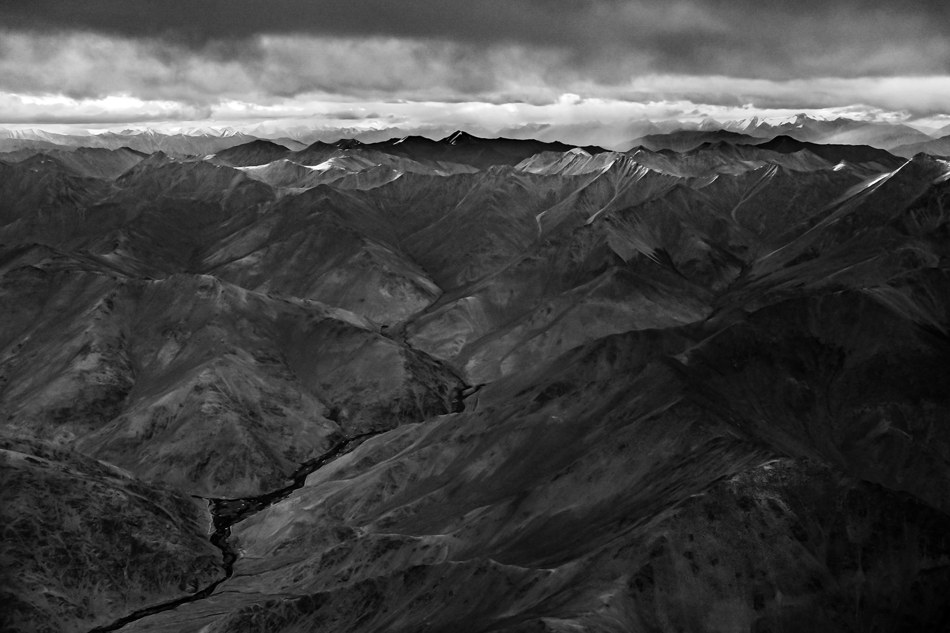
The view of the Himalayas from the air. On approach into Leh from New Delhi.
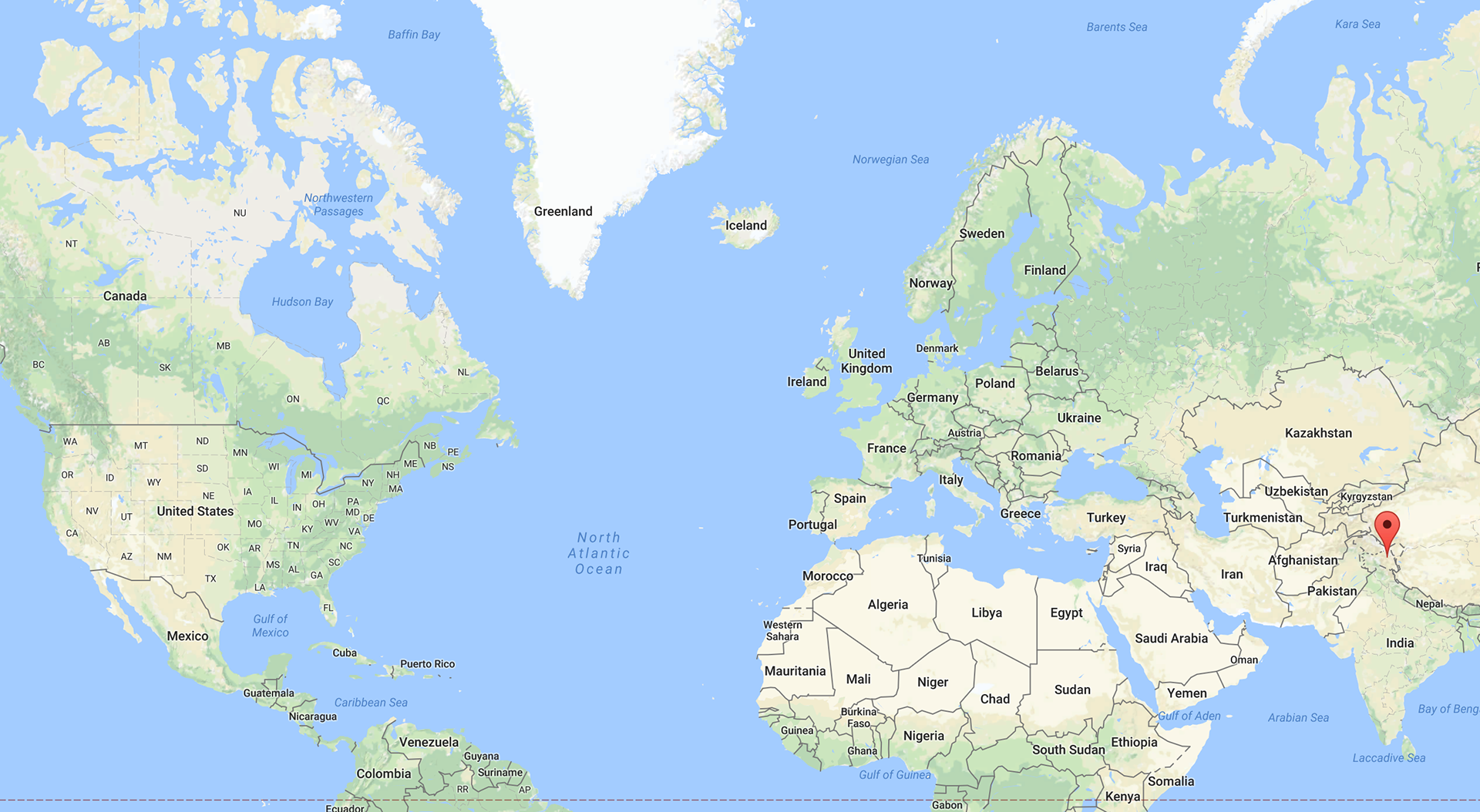
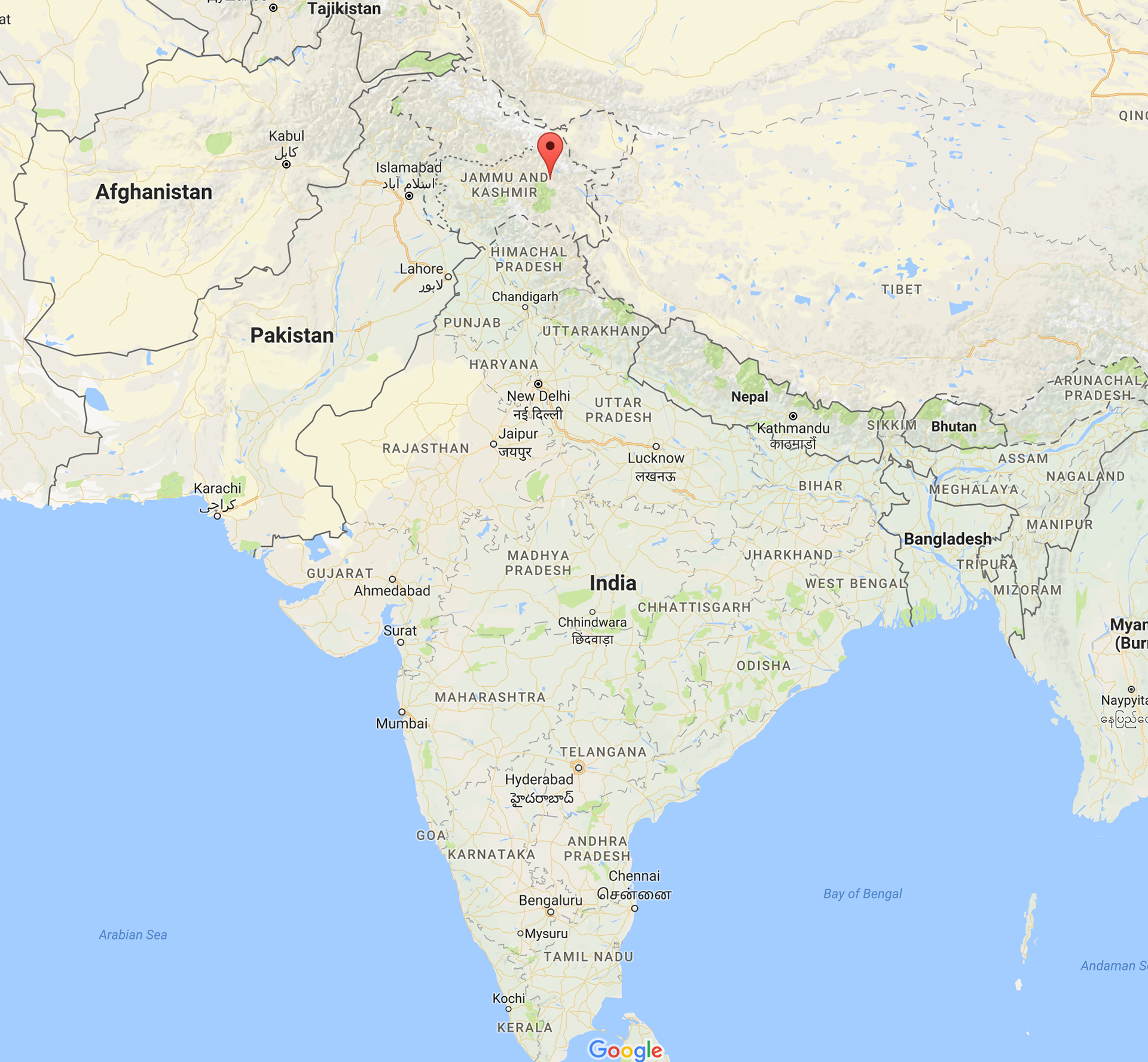
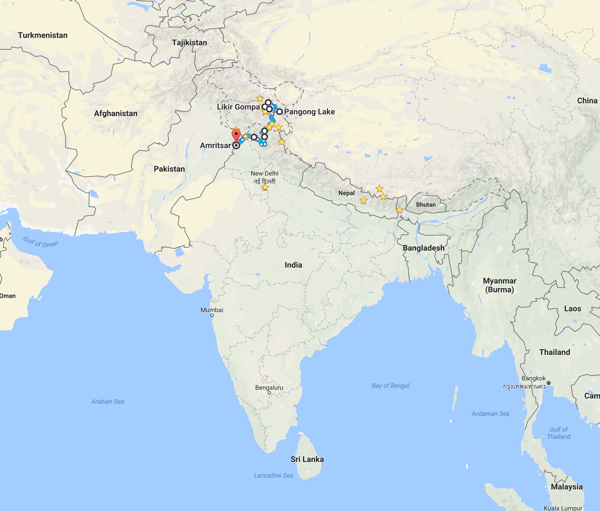
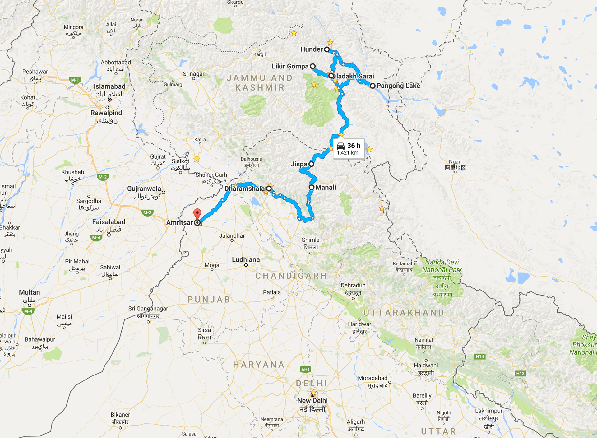
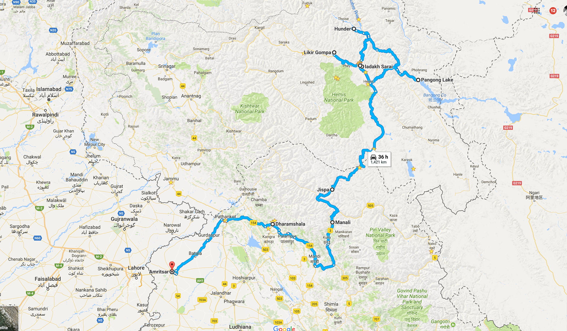
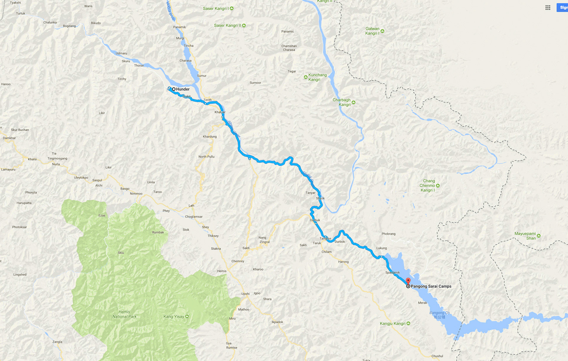
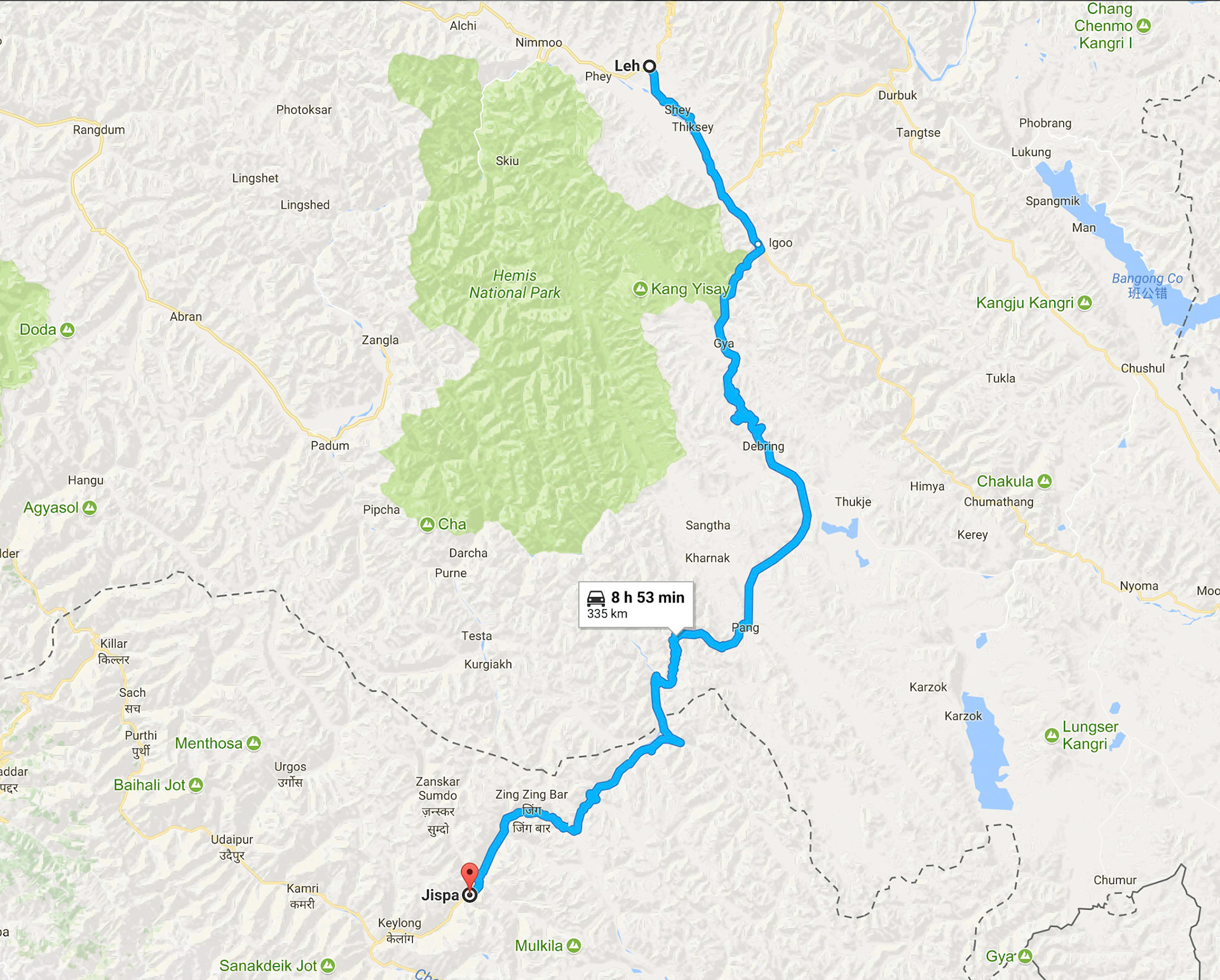
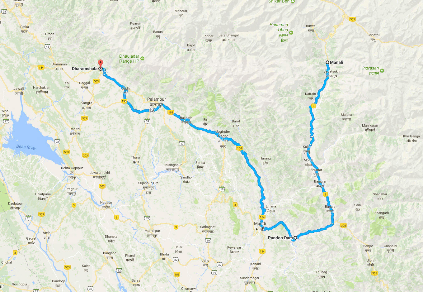
Maps (From left to right): 1. Canada to India (13.5 Hours flight direct) 2. North India: Kashmir & Himachal Pradesh 3. Trip overlay of Roads taken by van 4. Kashmir & Himachal Pradesh : A Closer view. 5. Roads Travelled: Locations visited and in Pictures below.
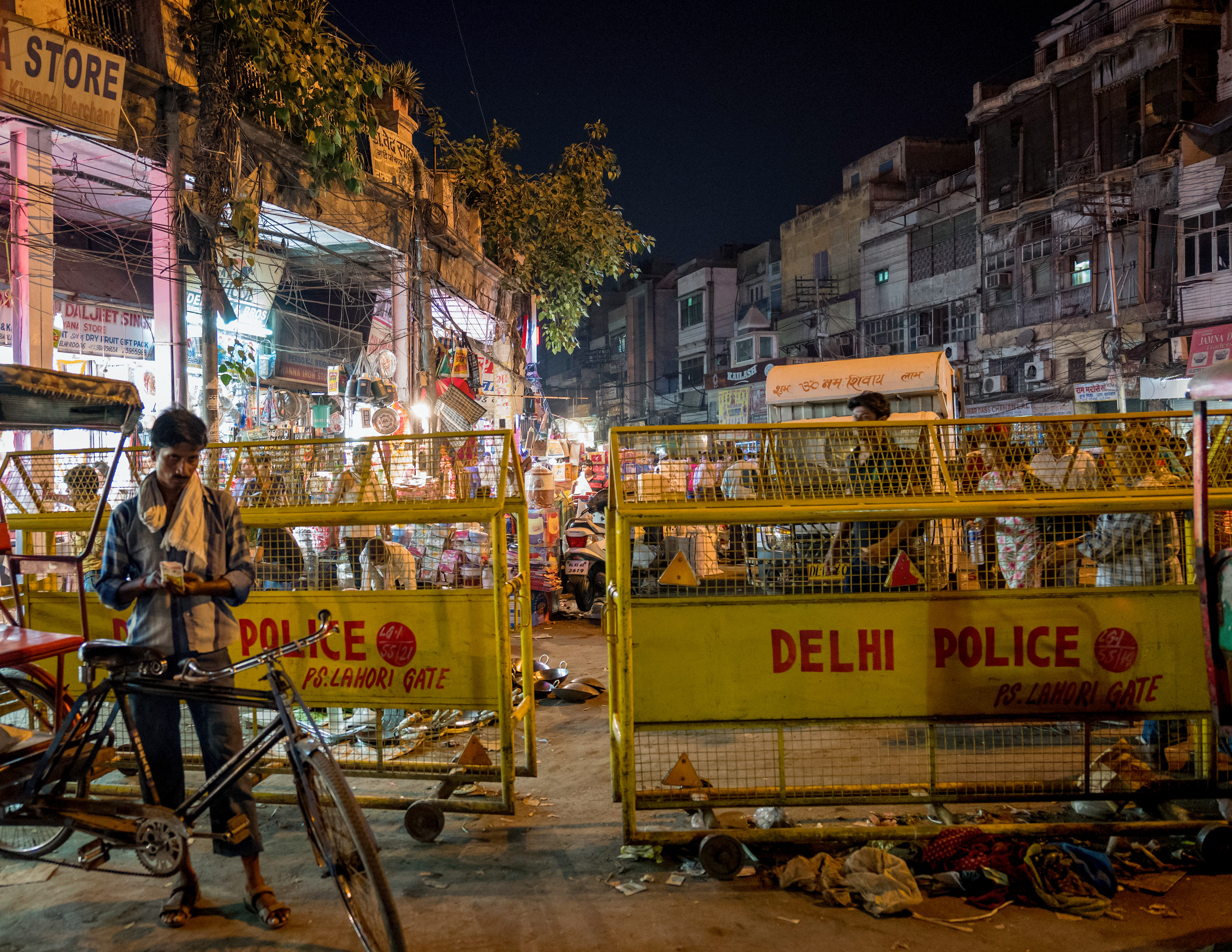
Day 1: Adapt to 11,000 foot Altitude
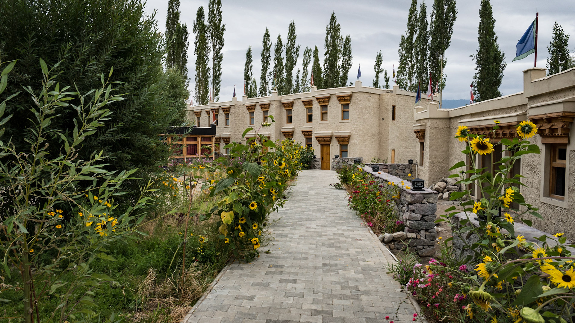
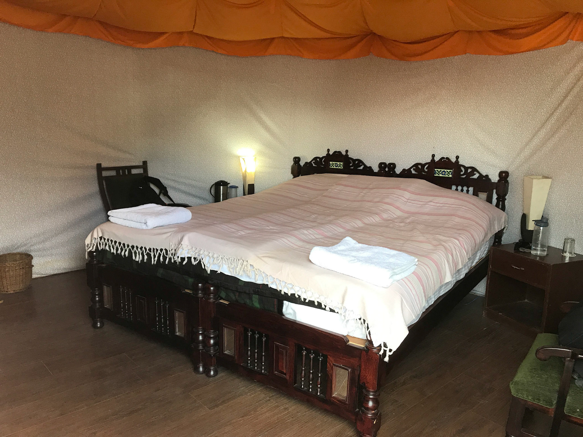
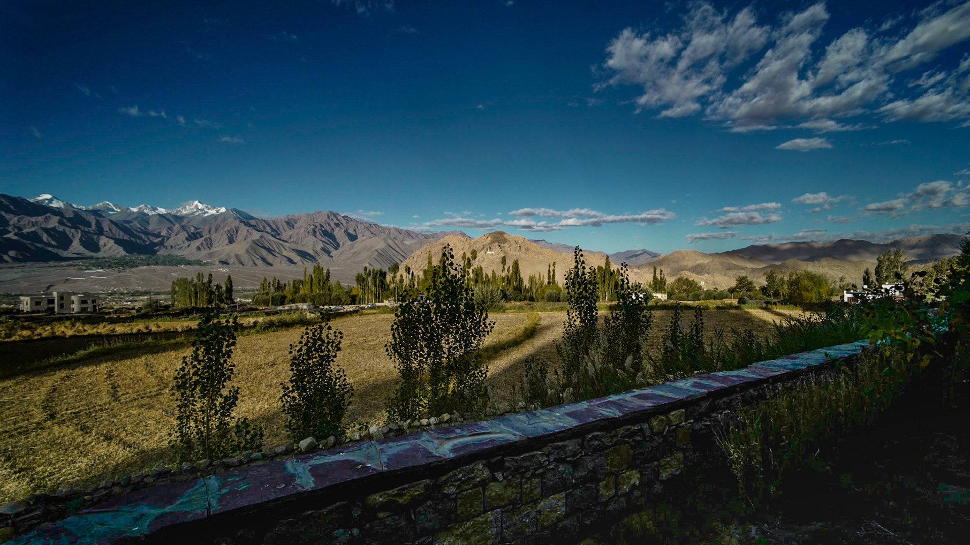
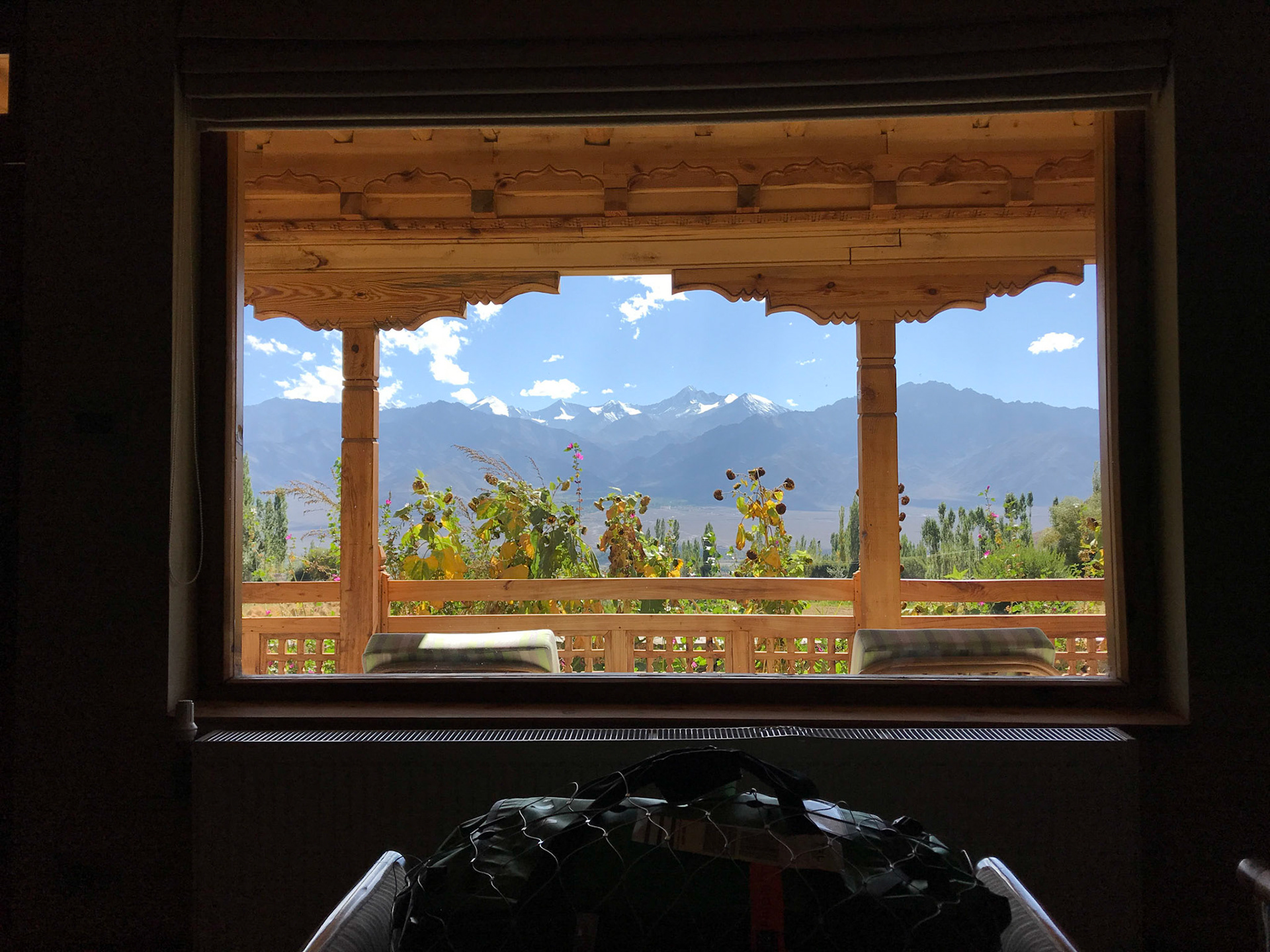
Below: Ladakh Sarai Hotel
Day 2 :
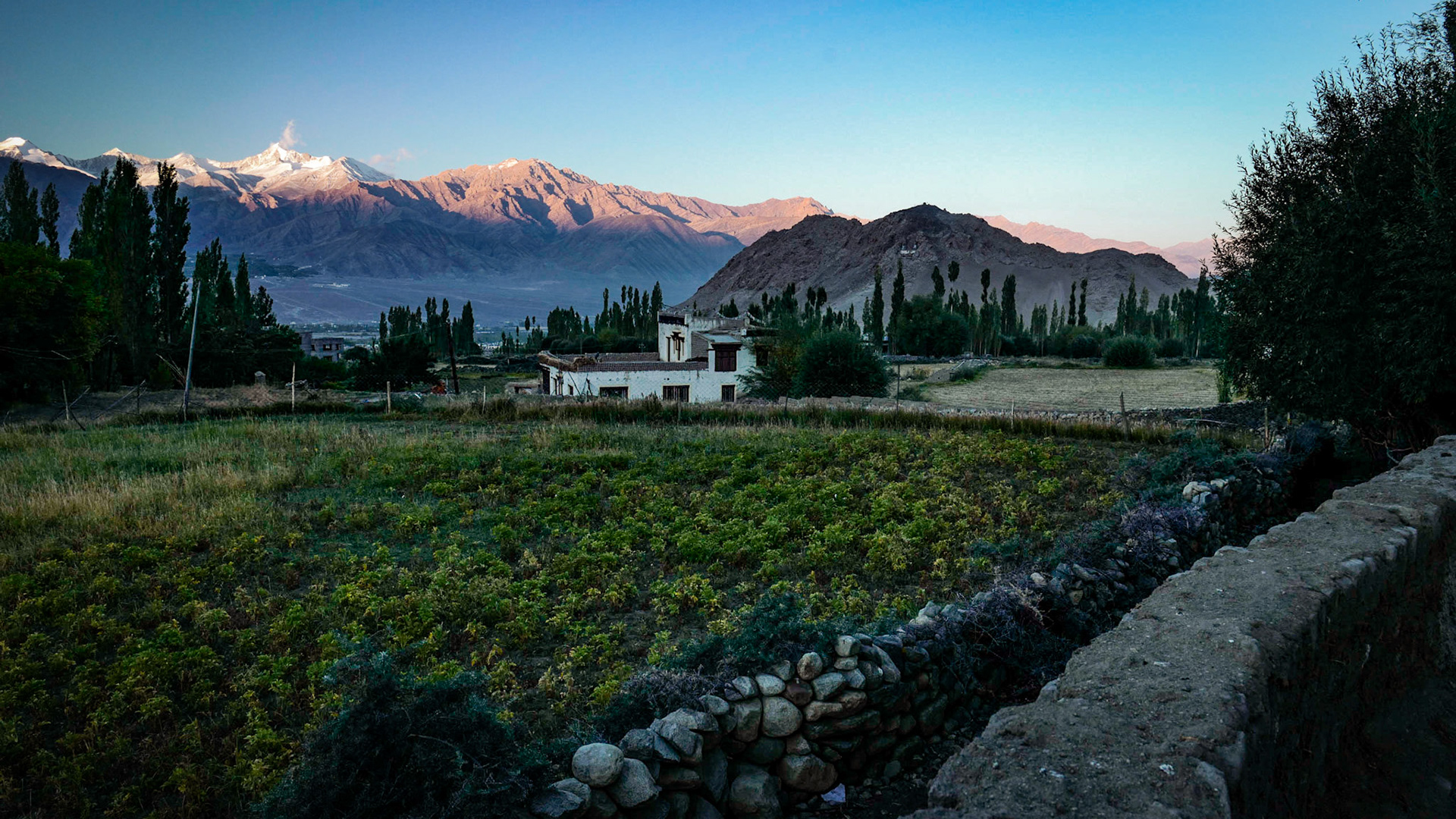
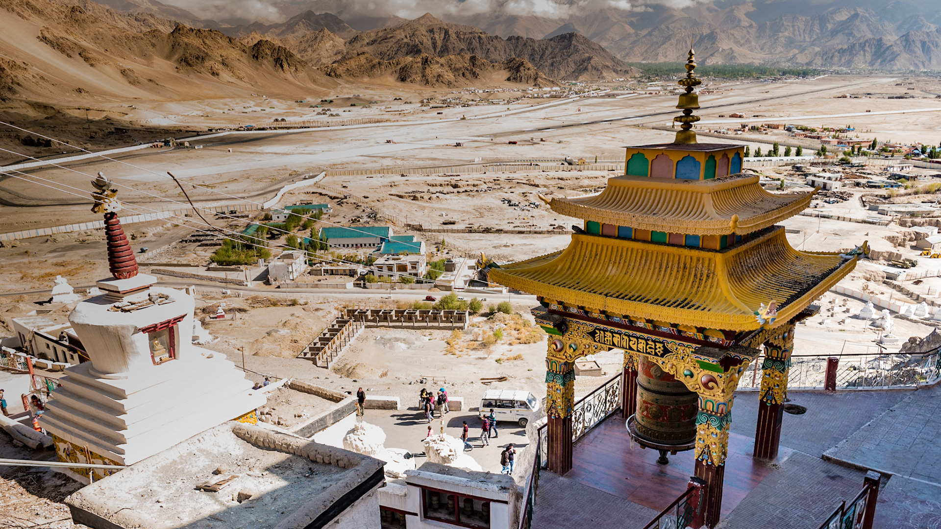
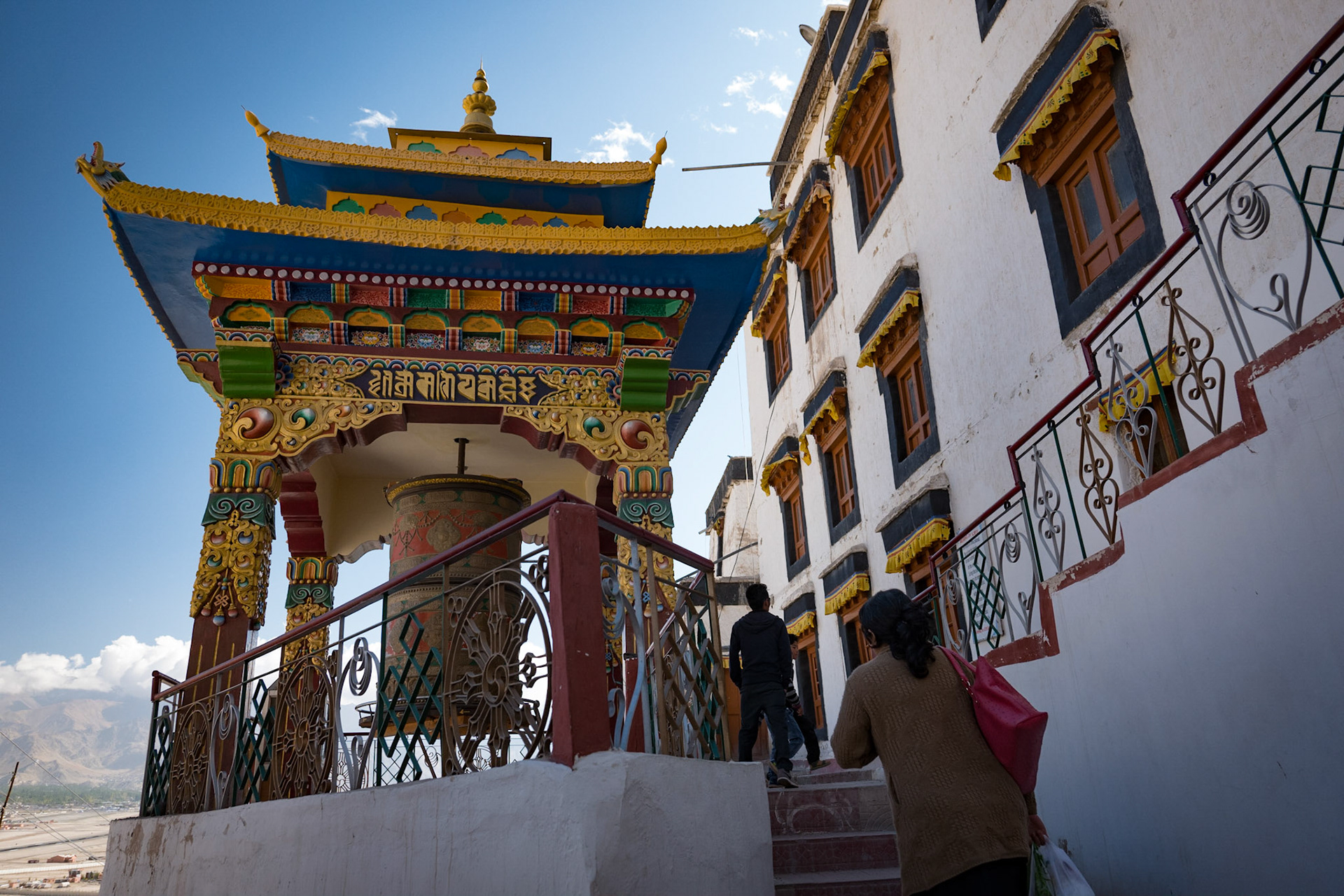
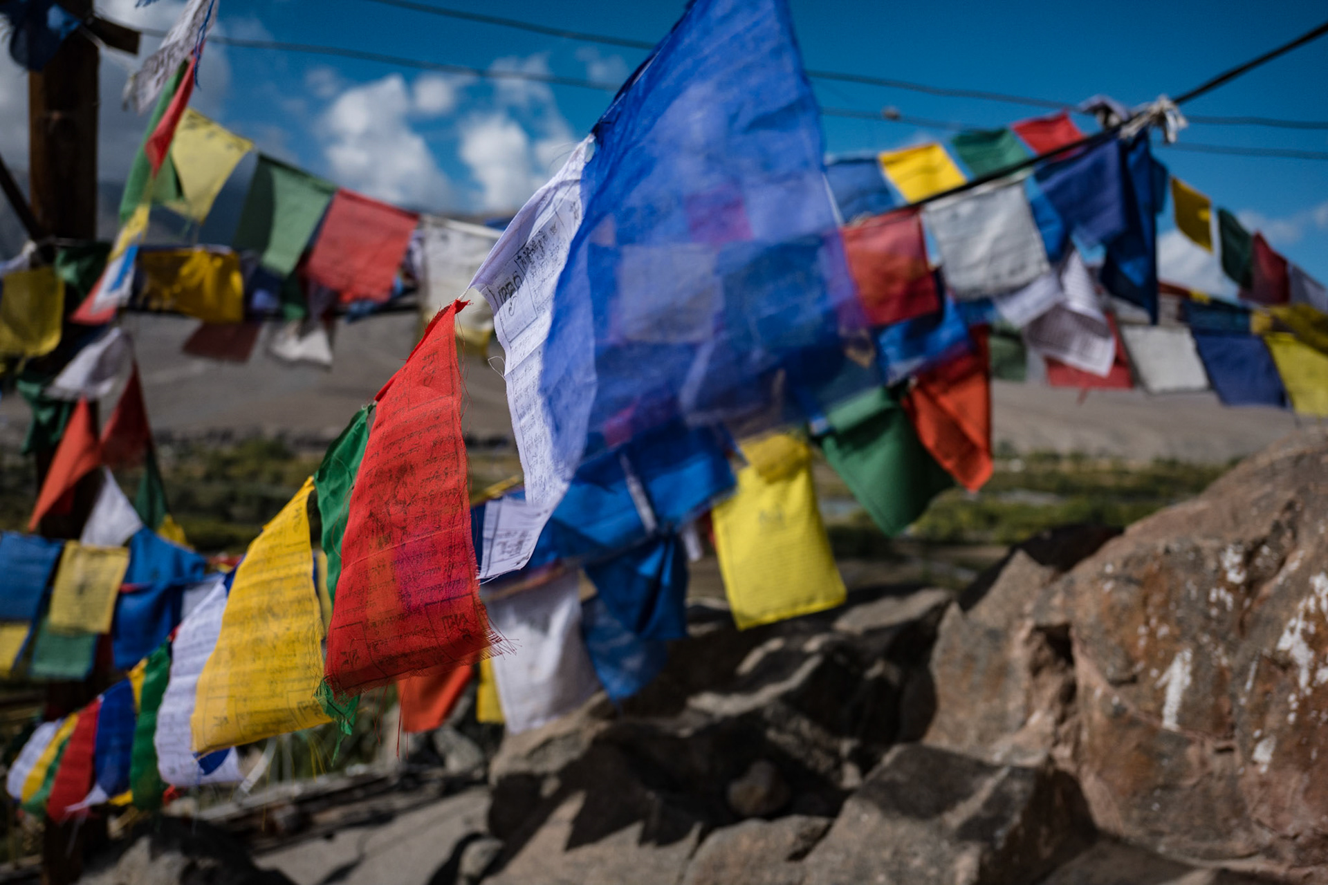
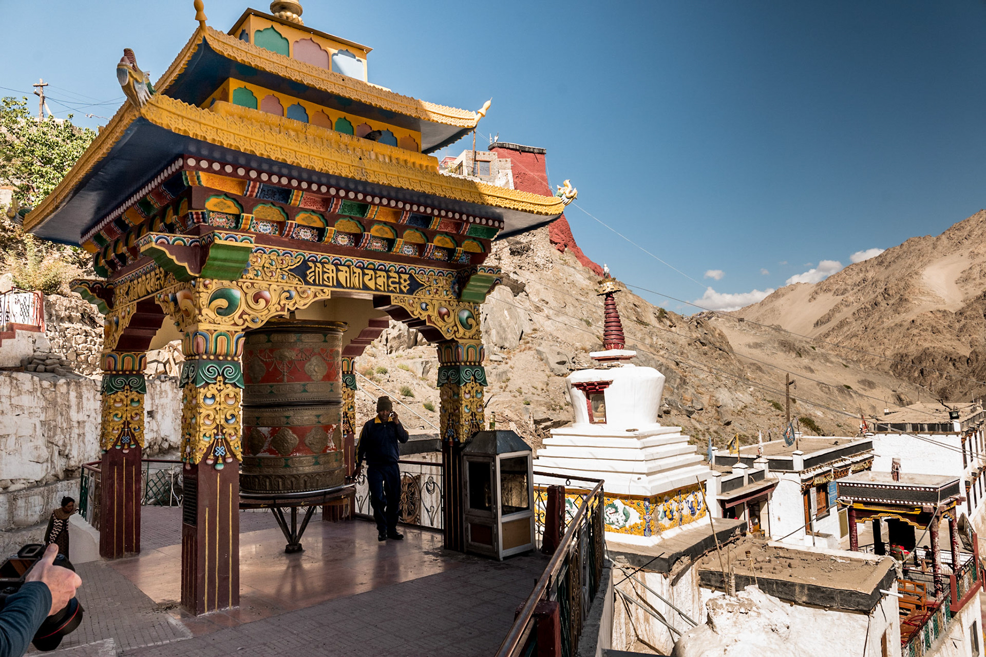
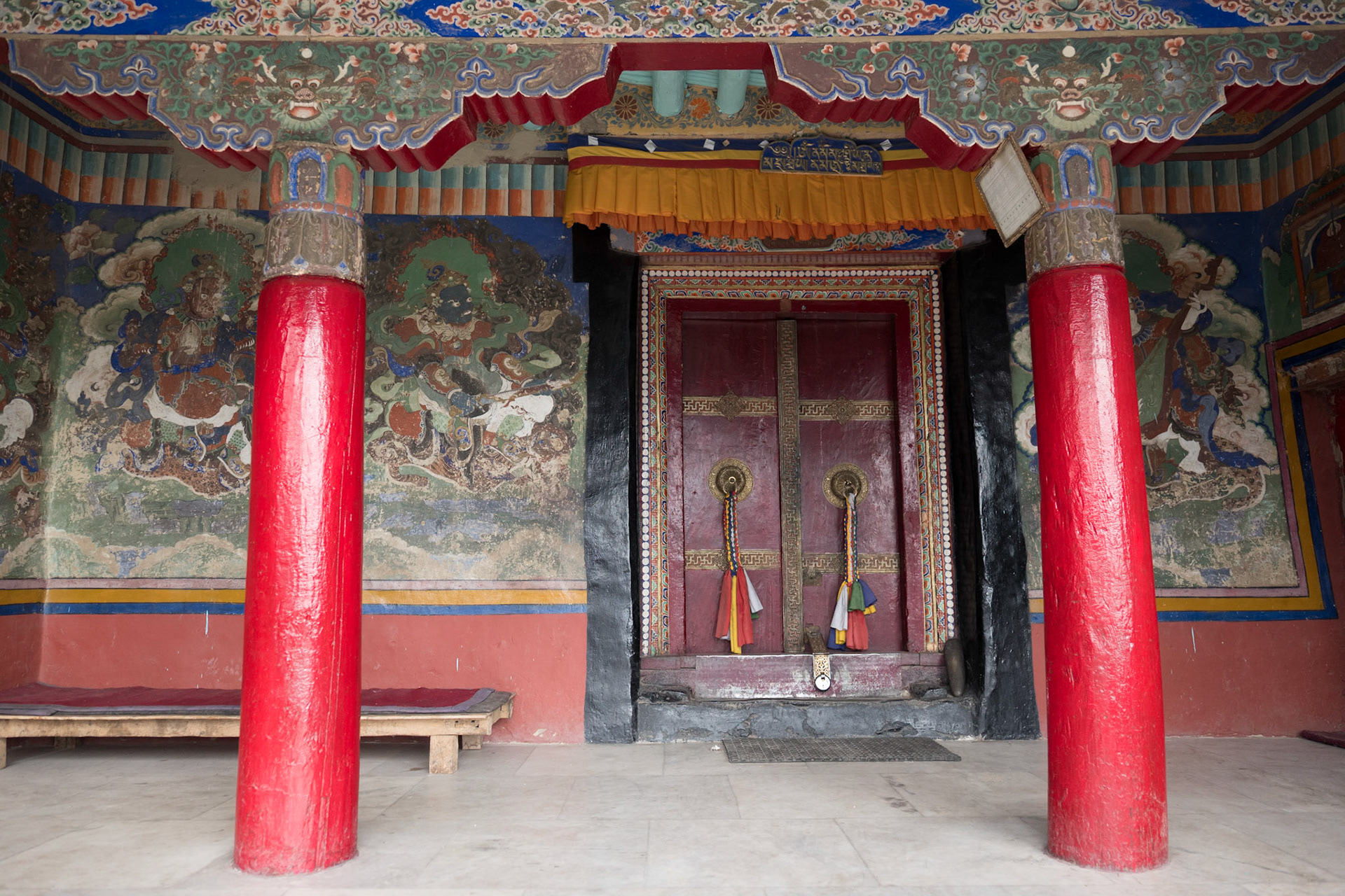
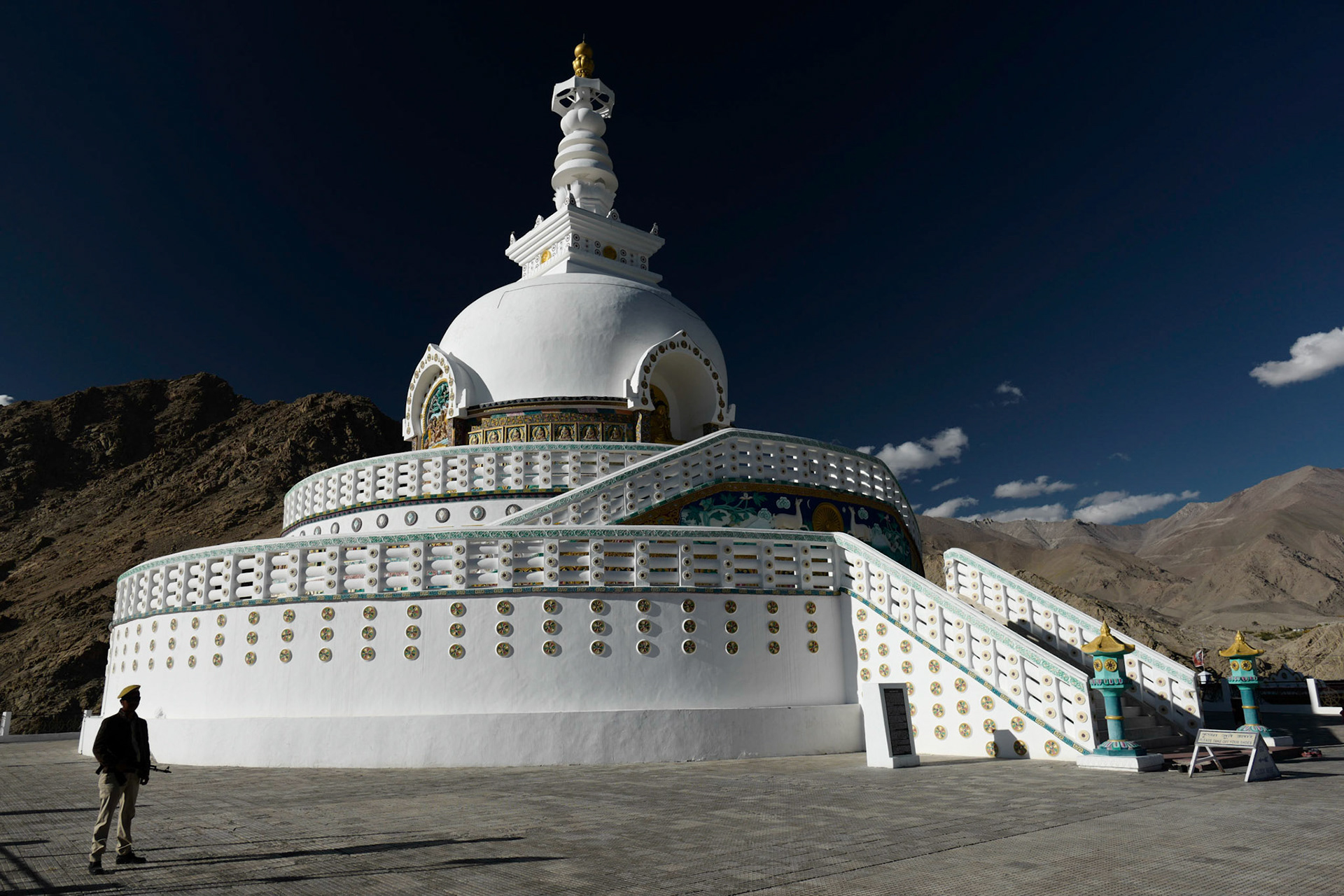
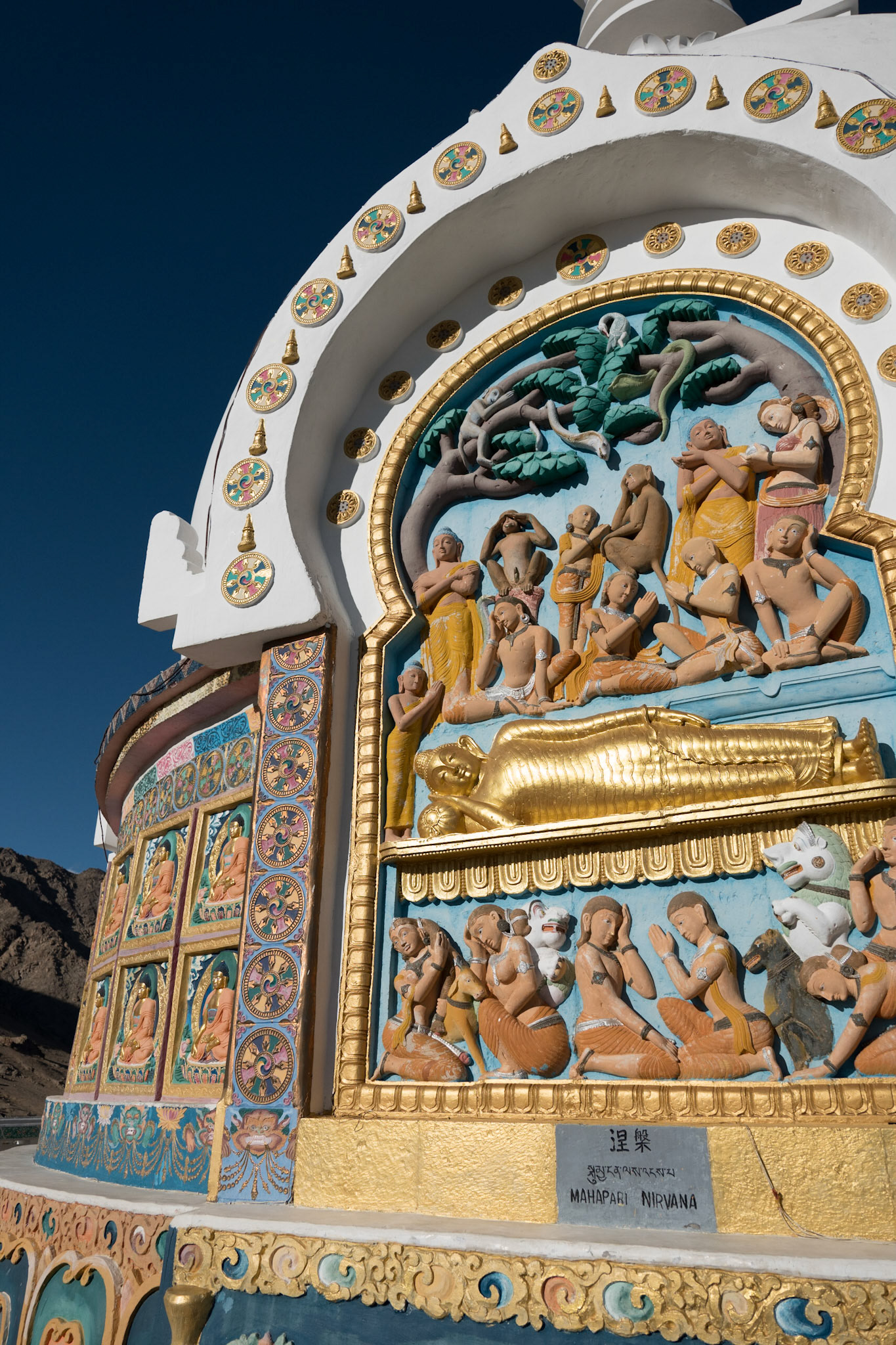
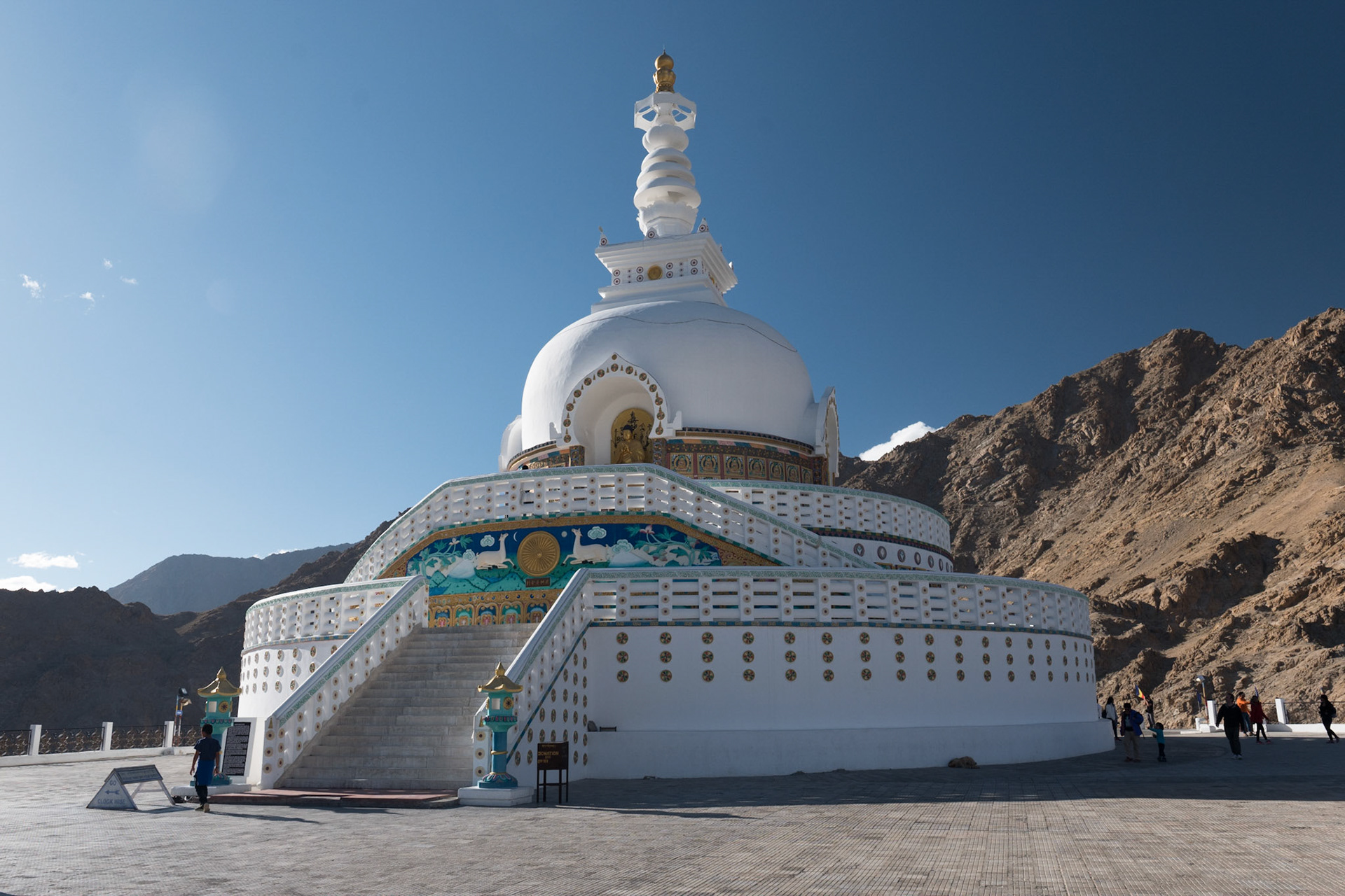
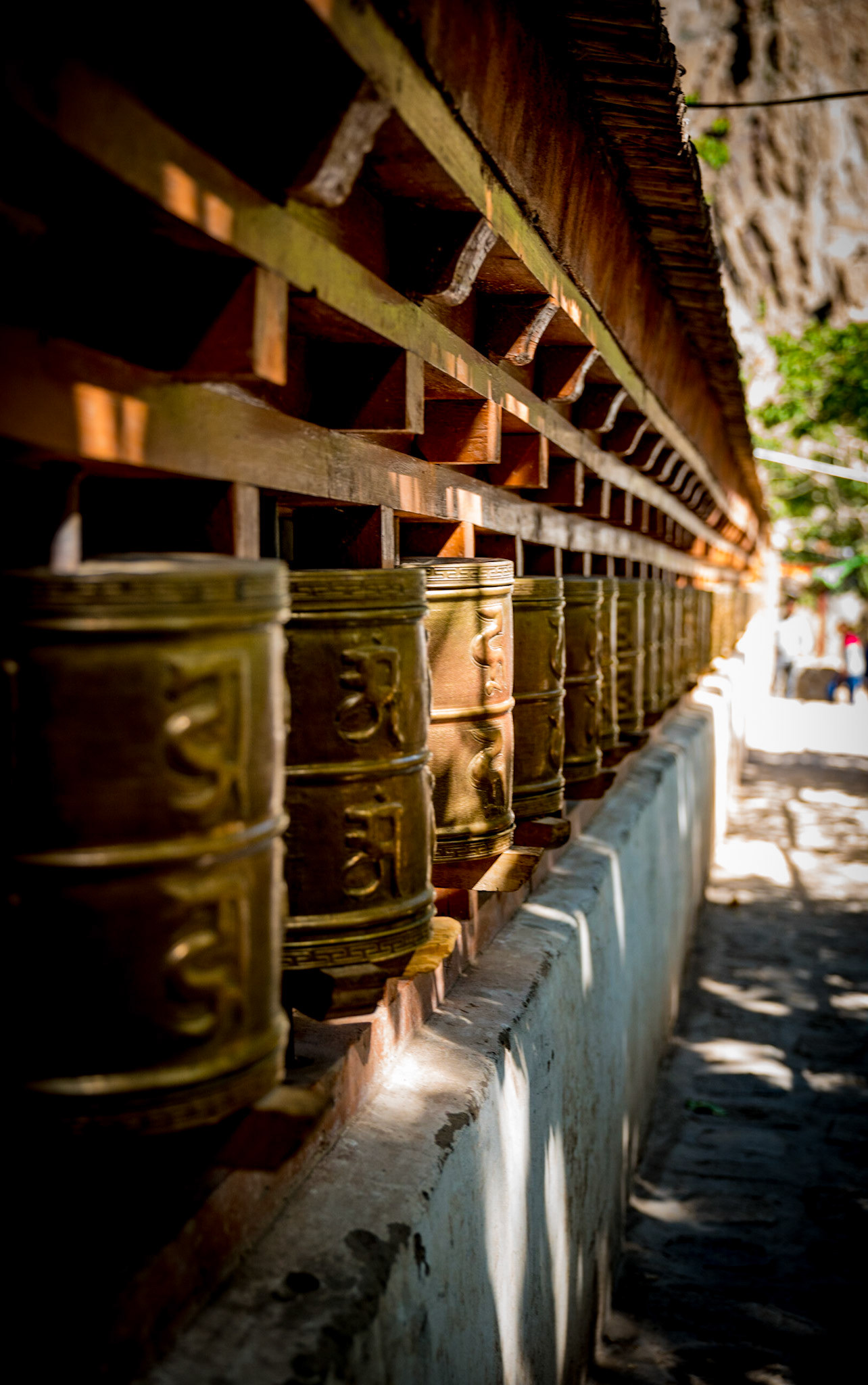
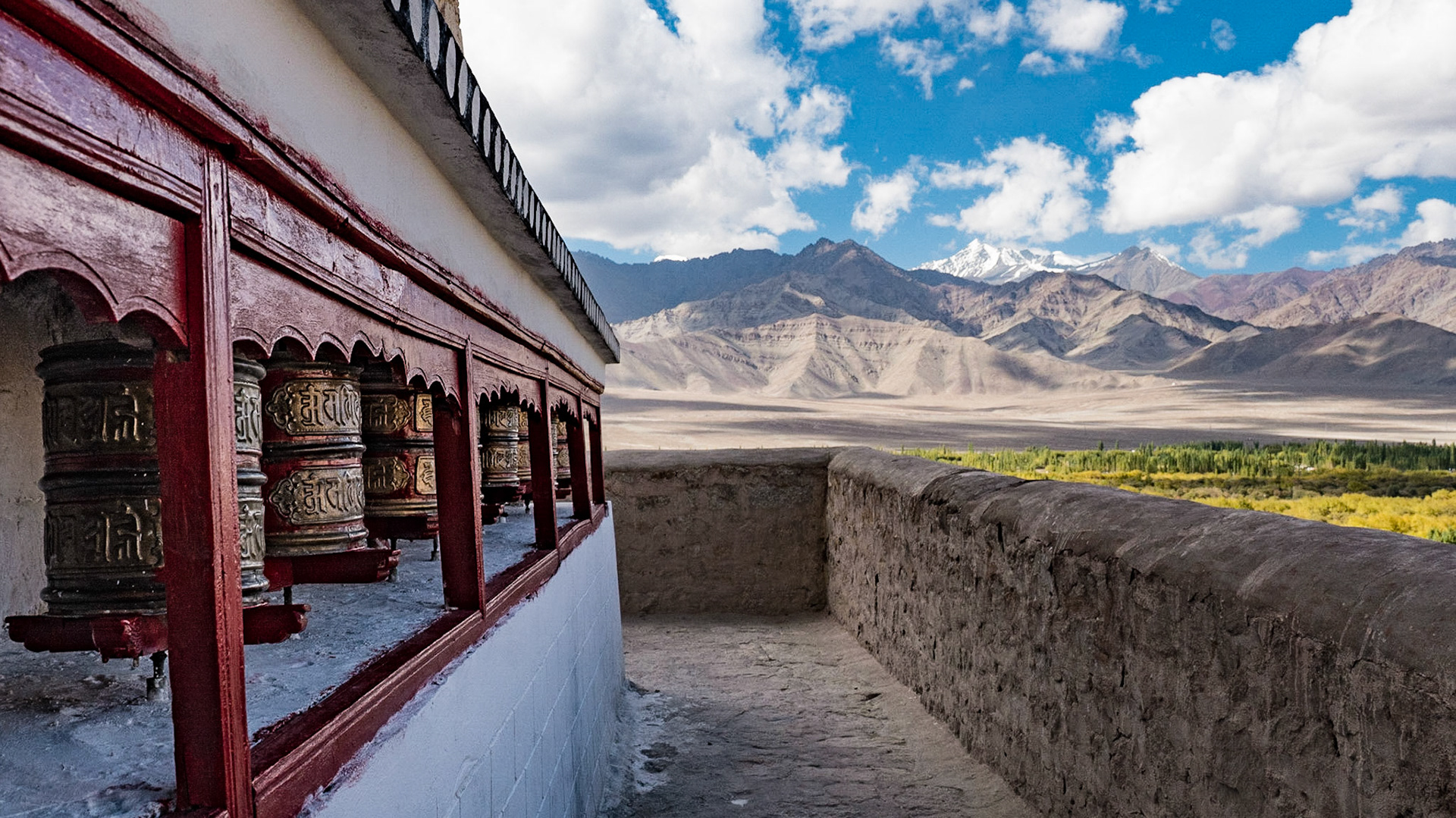
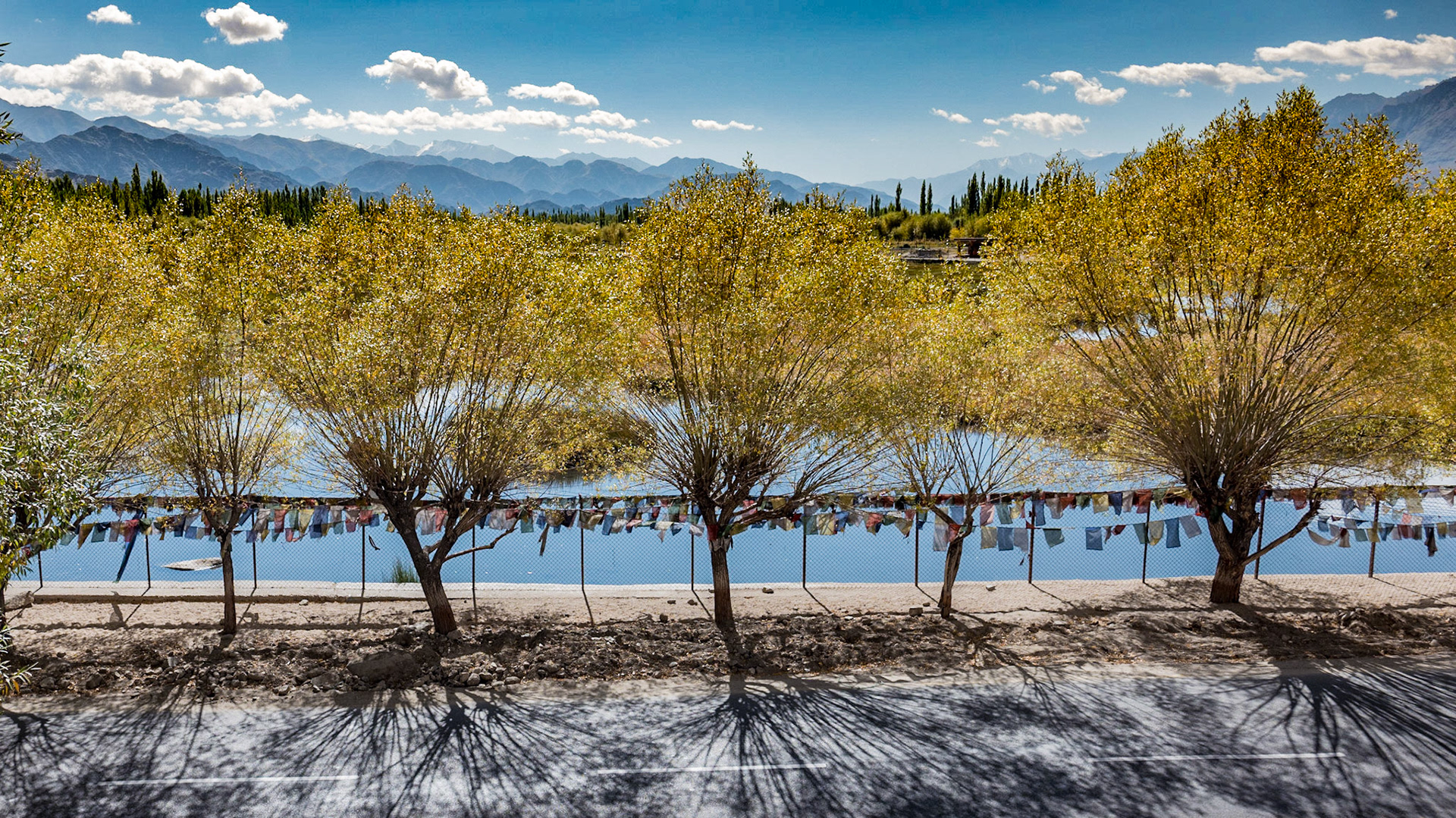
Below Clockwise: 1. Morning view from the hotel room Lawn 2. Spituk Gompa: View to the airport 3. Spituk Gompa 4. Spituk Gompa: Prayer flags 5. Spituk Gompa: Prayer wheel 6. Spituk Gompa: Chapel Entry 7. Shanti Stupa
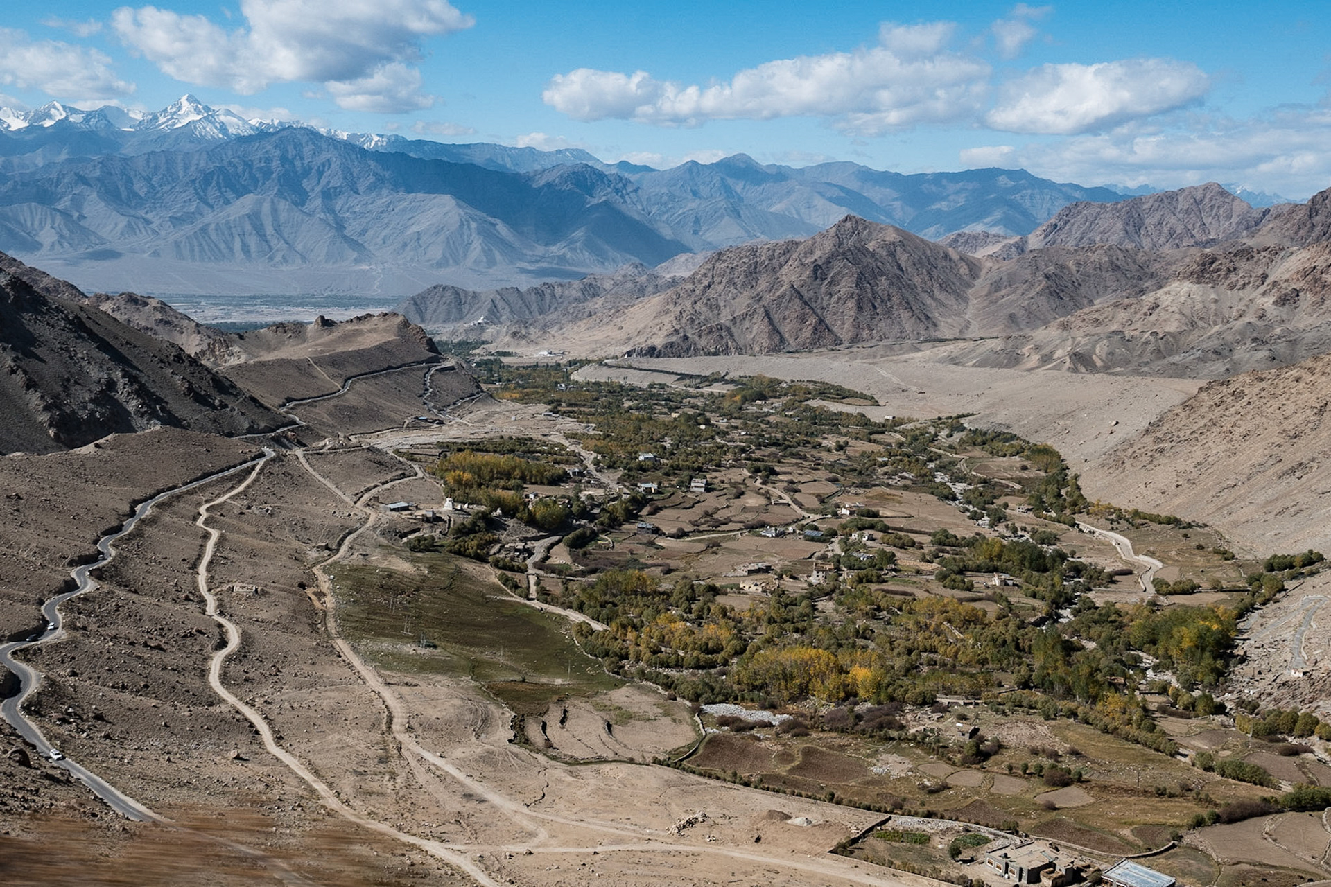
Day 3: Basgo & Likir Monasteries.
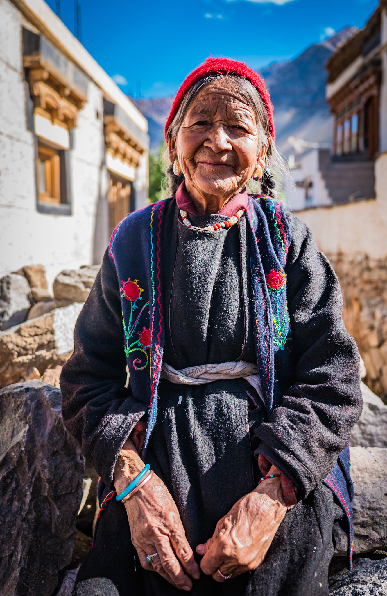
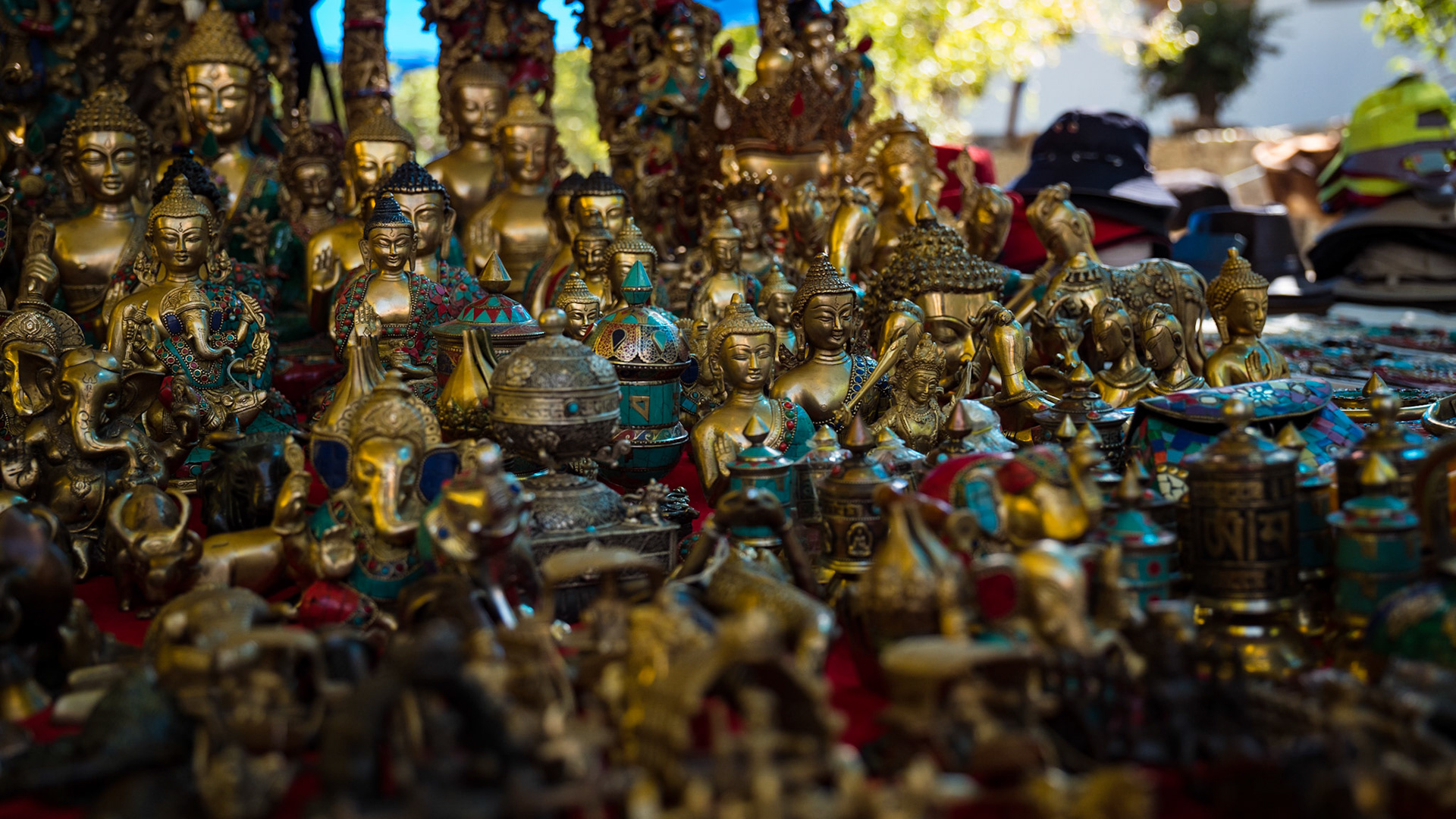
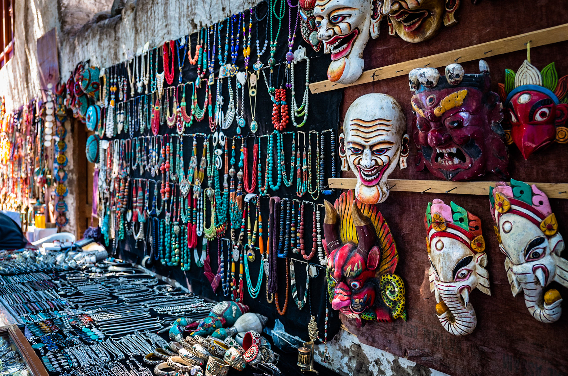
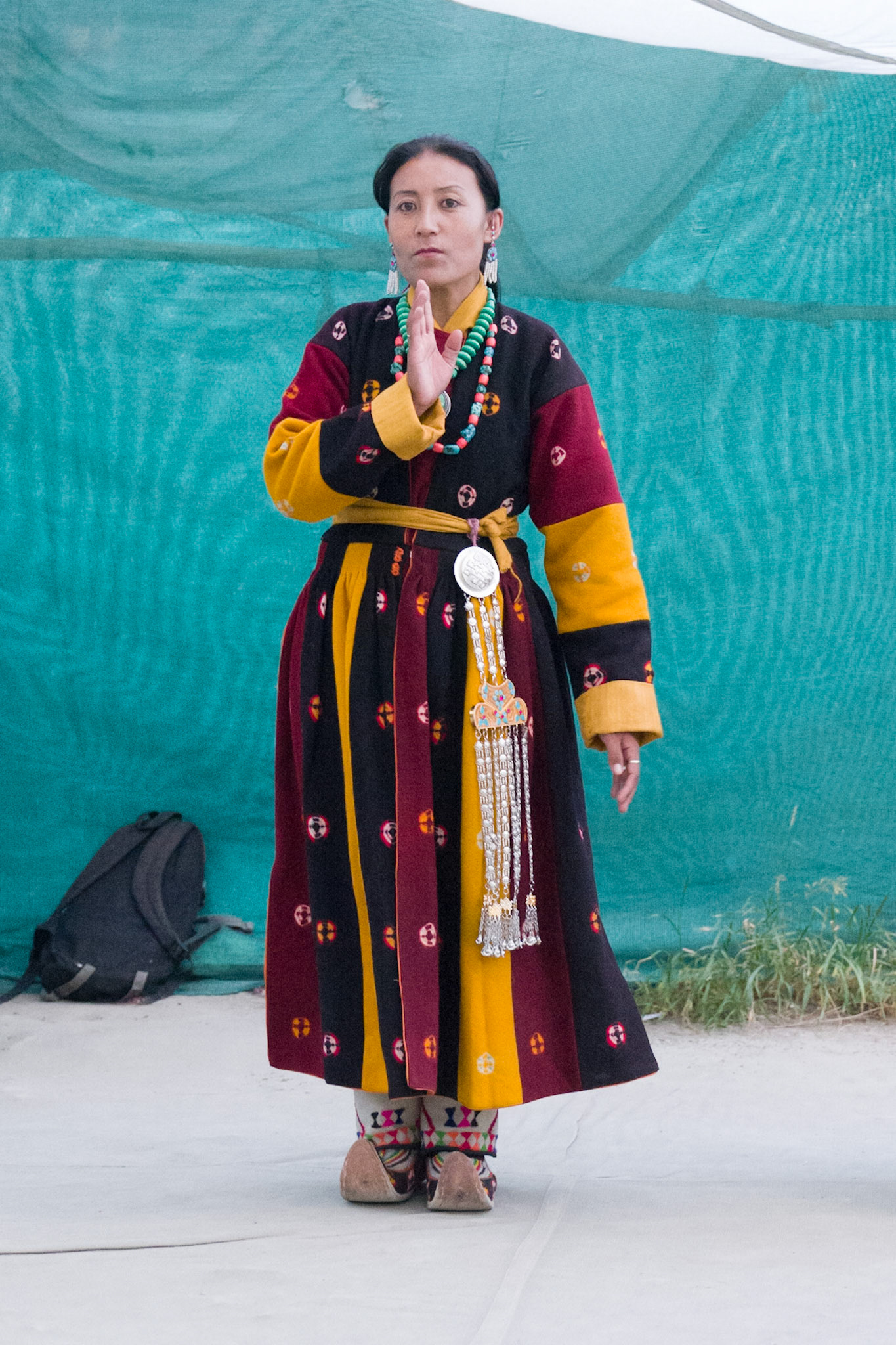
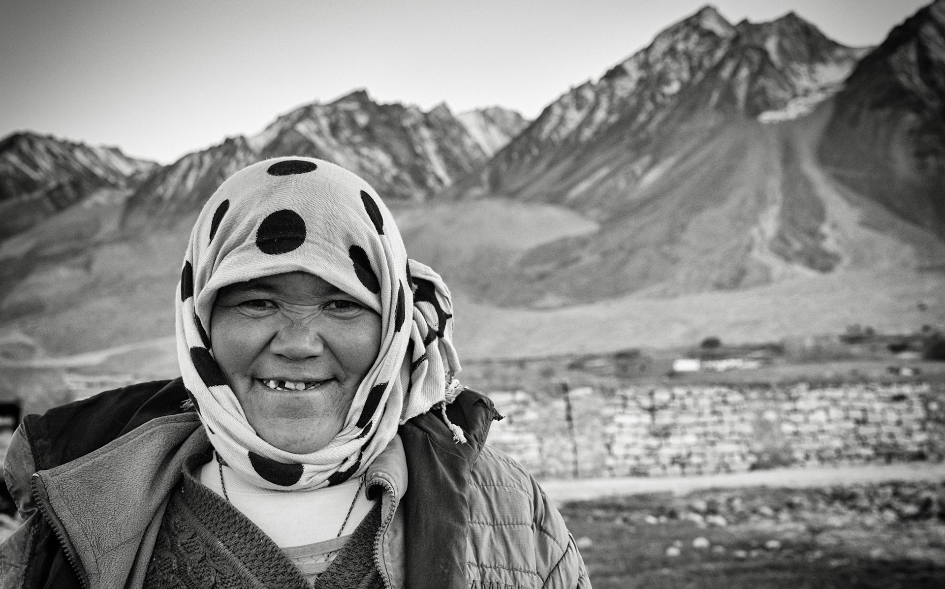
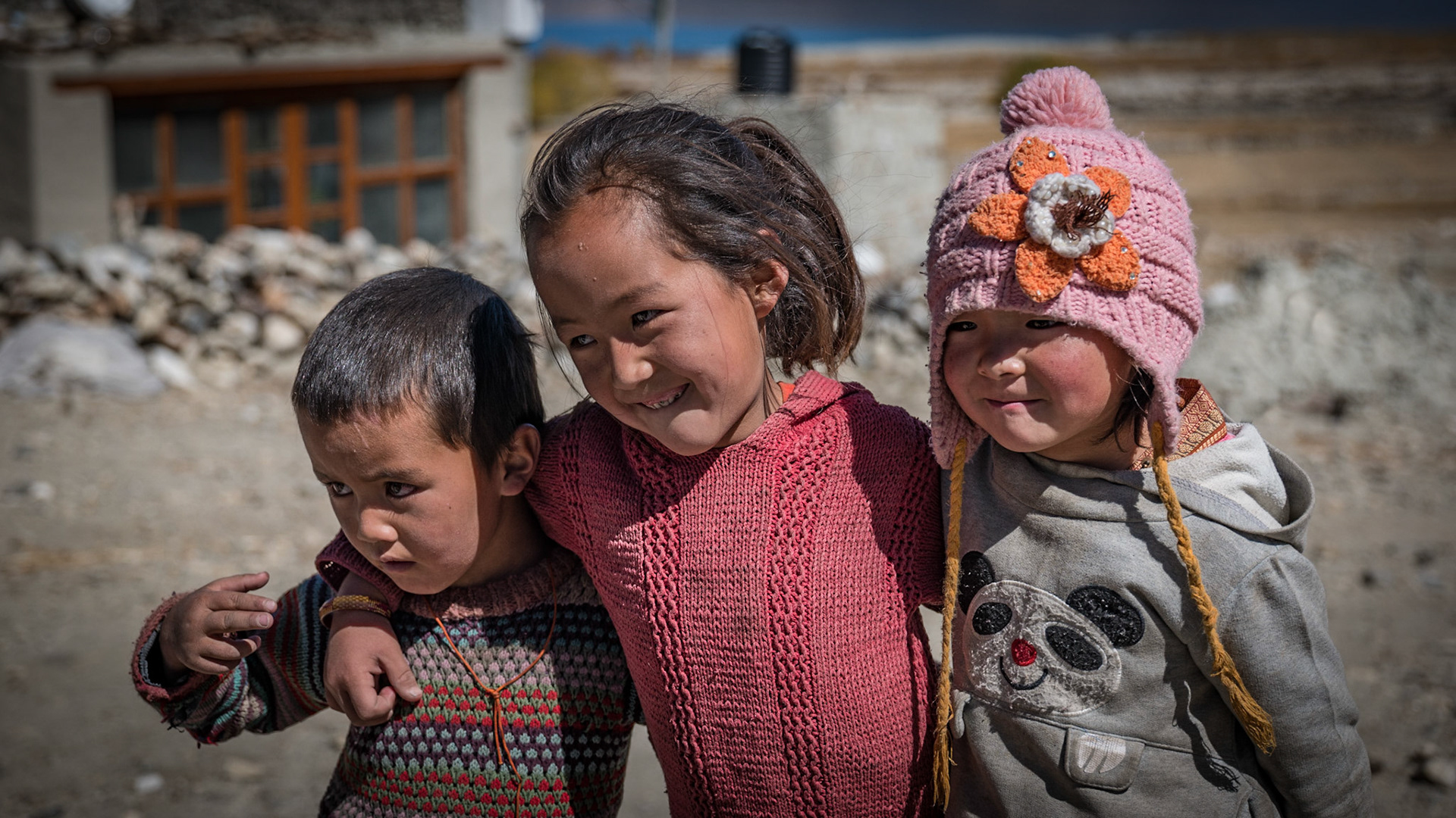
1. A happy Ladakhi woman poses at Basgo while wheat gets washed by younger women nearby 2. Trinkets at Basgo for sale to tourists 3. Basgo prayer wheels 4. More trinkets 5. Likir Monastery from the approaching road
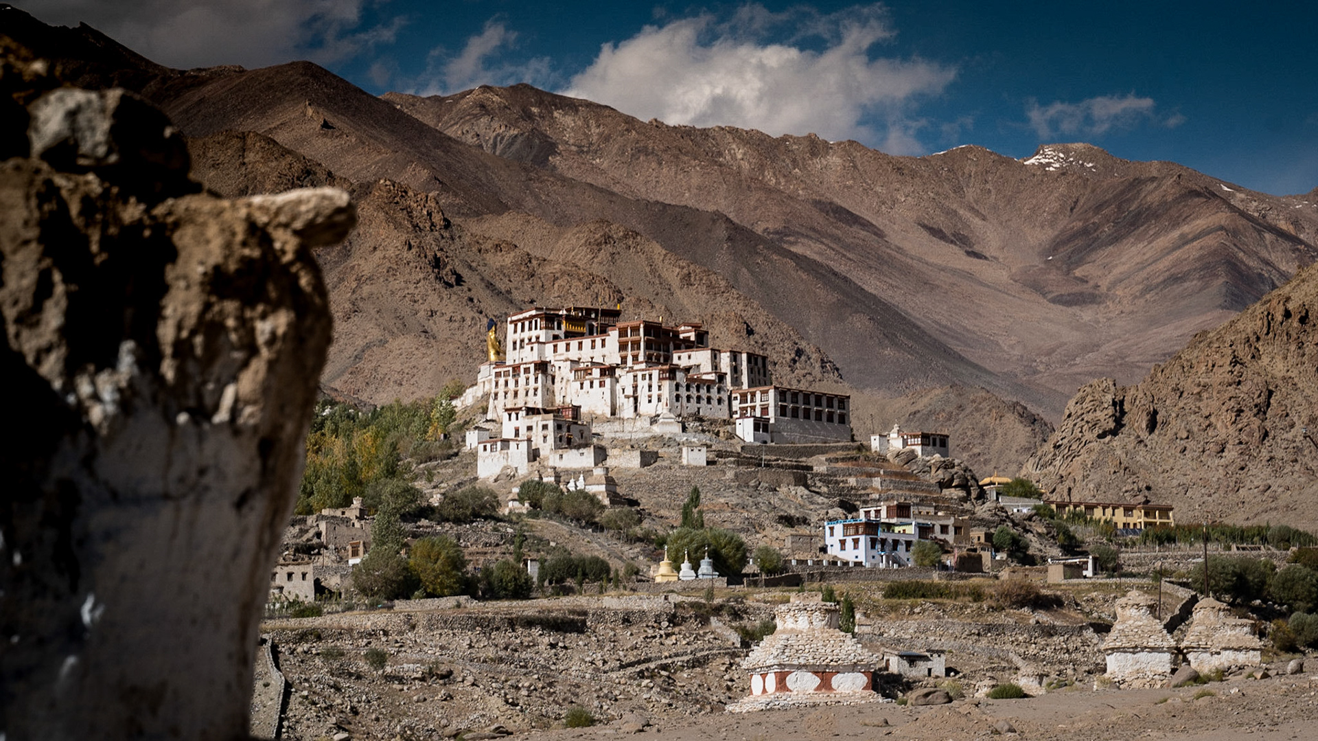
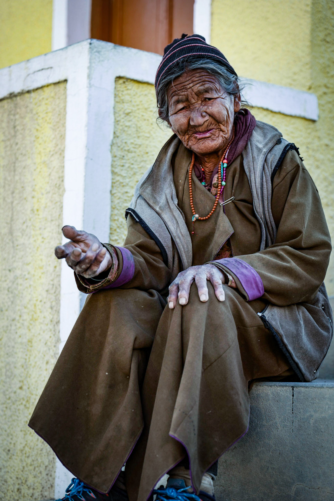
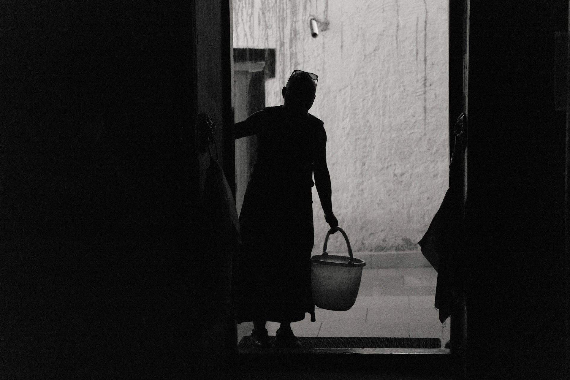
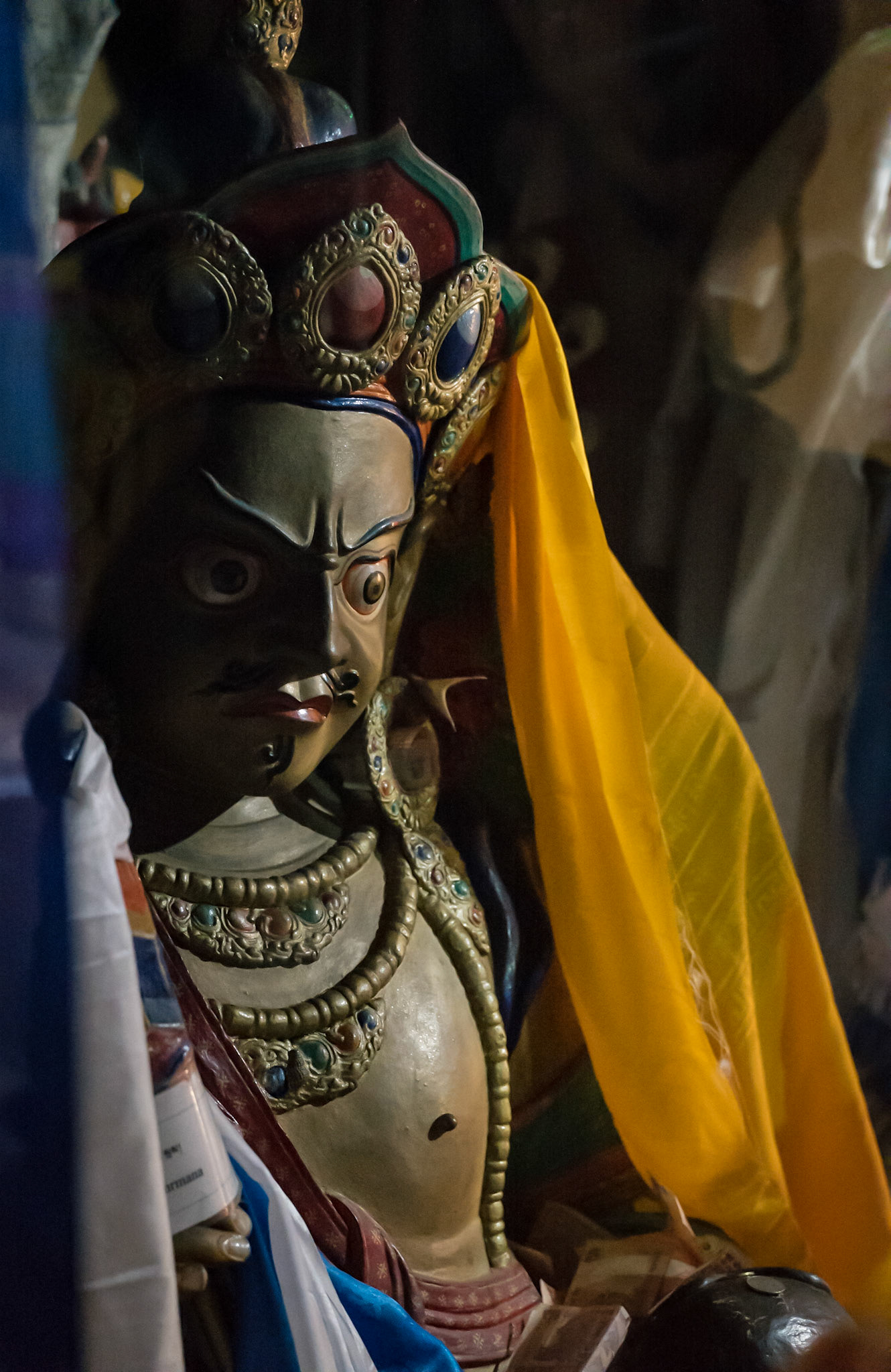
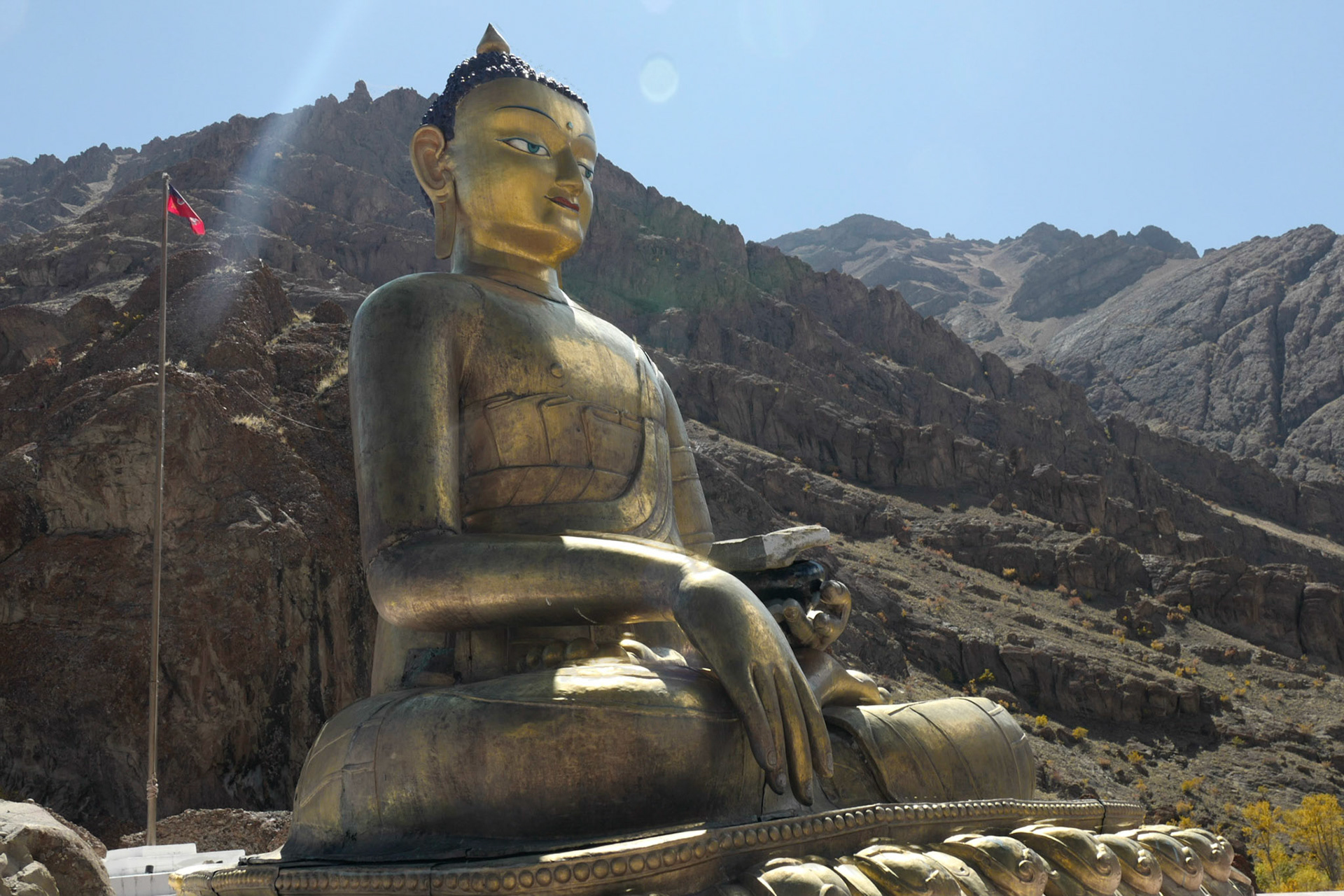
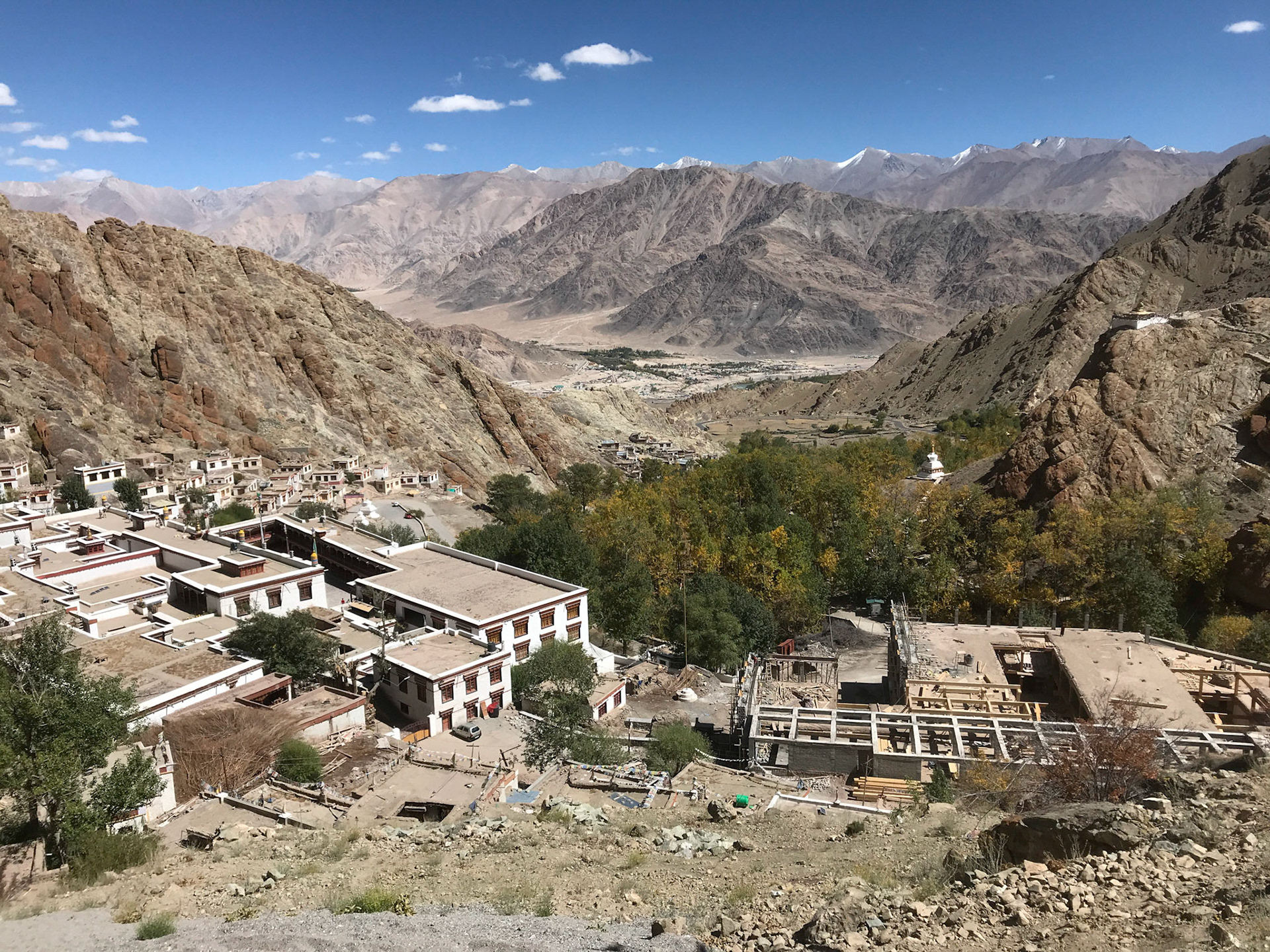
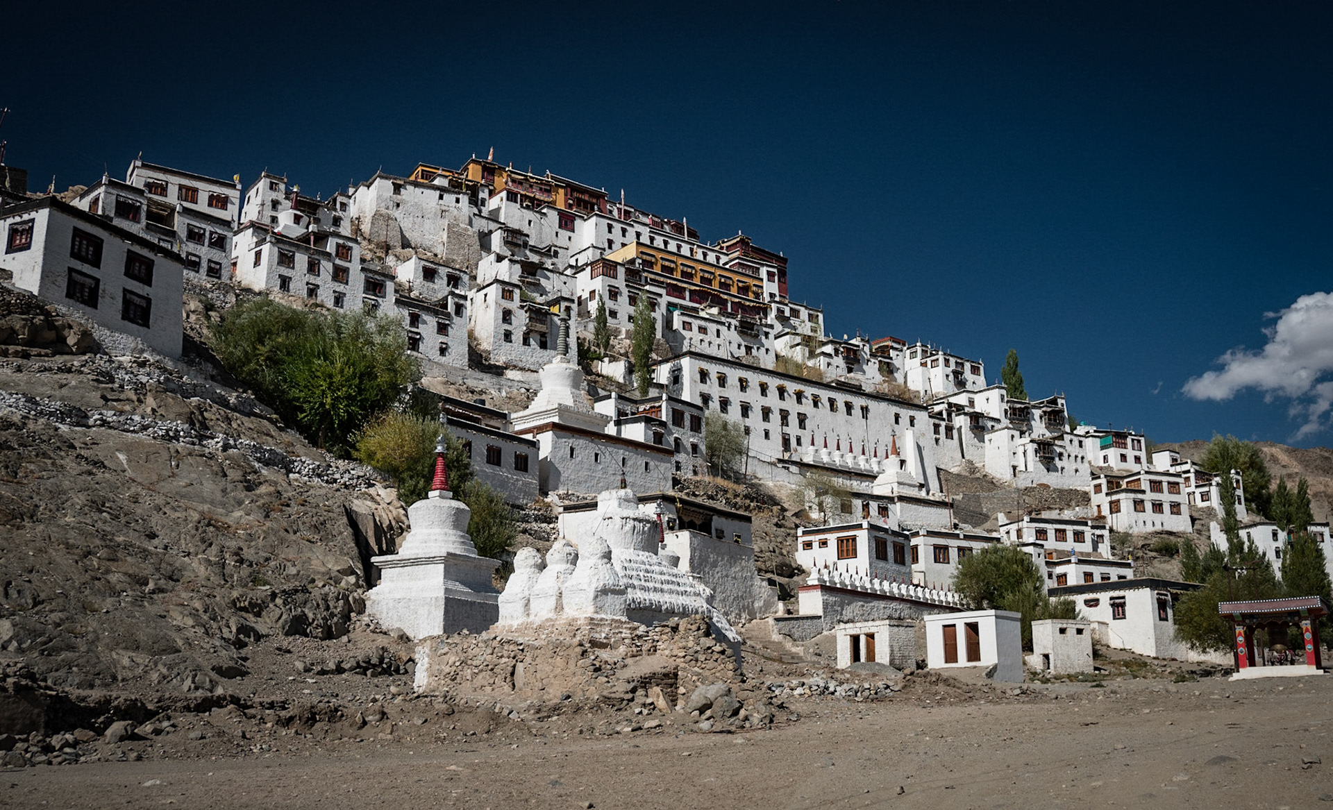
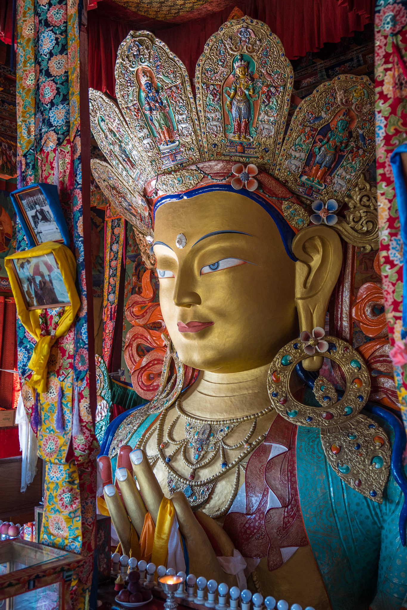
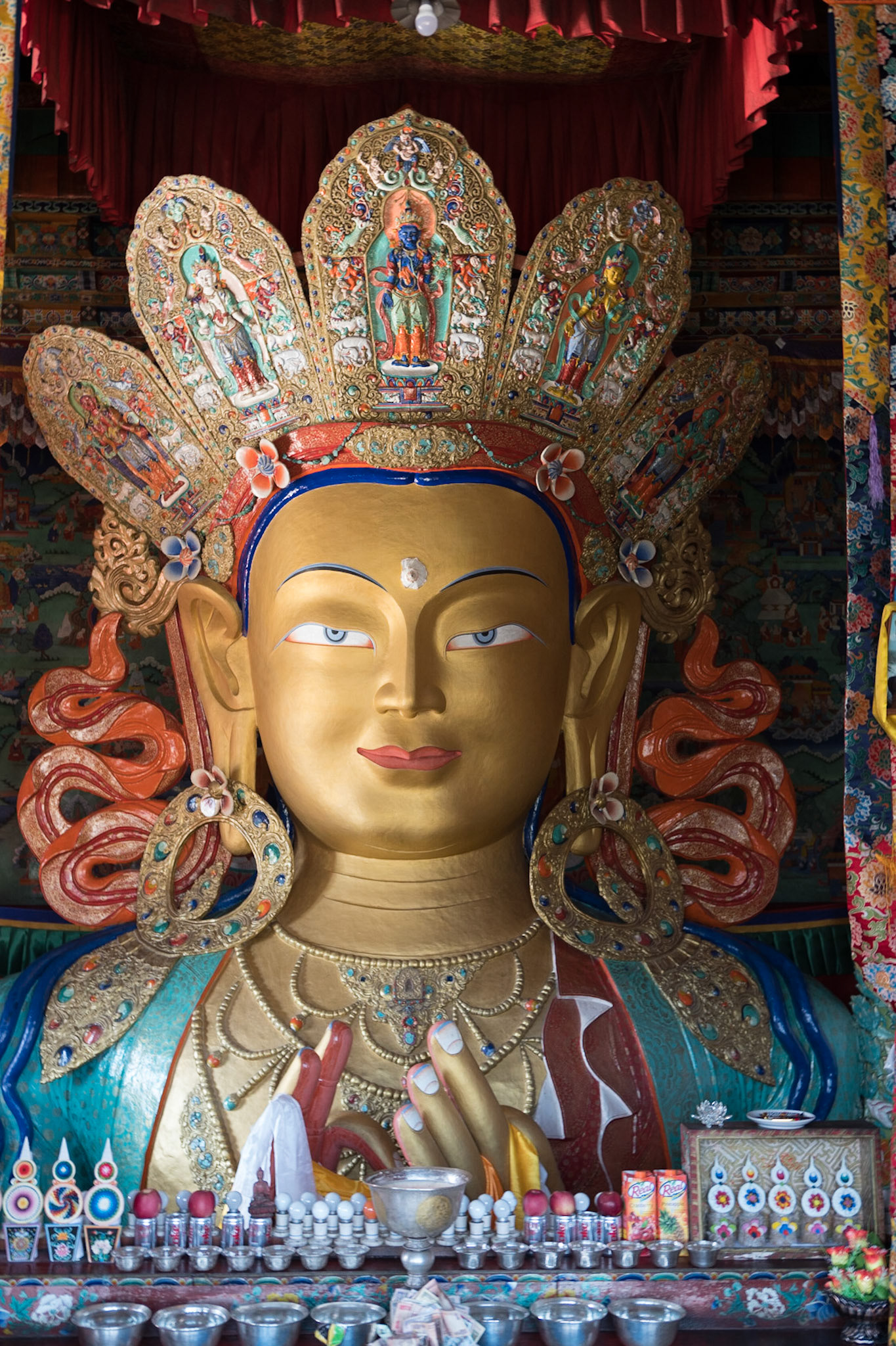
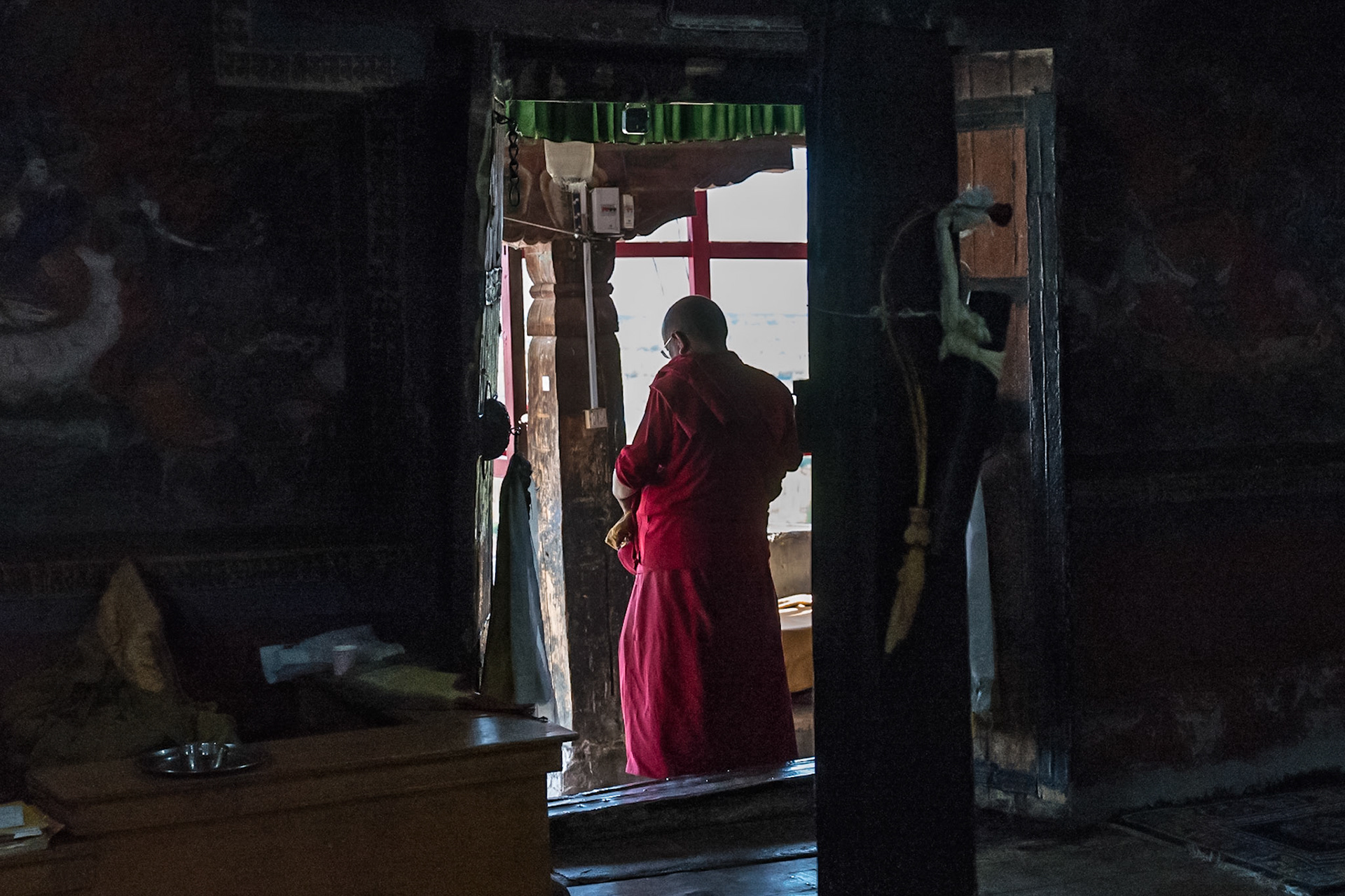
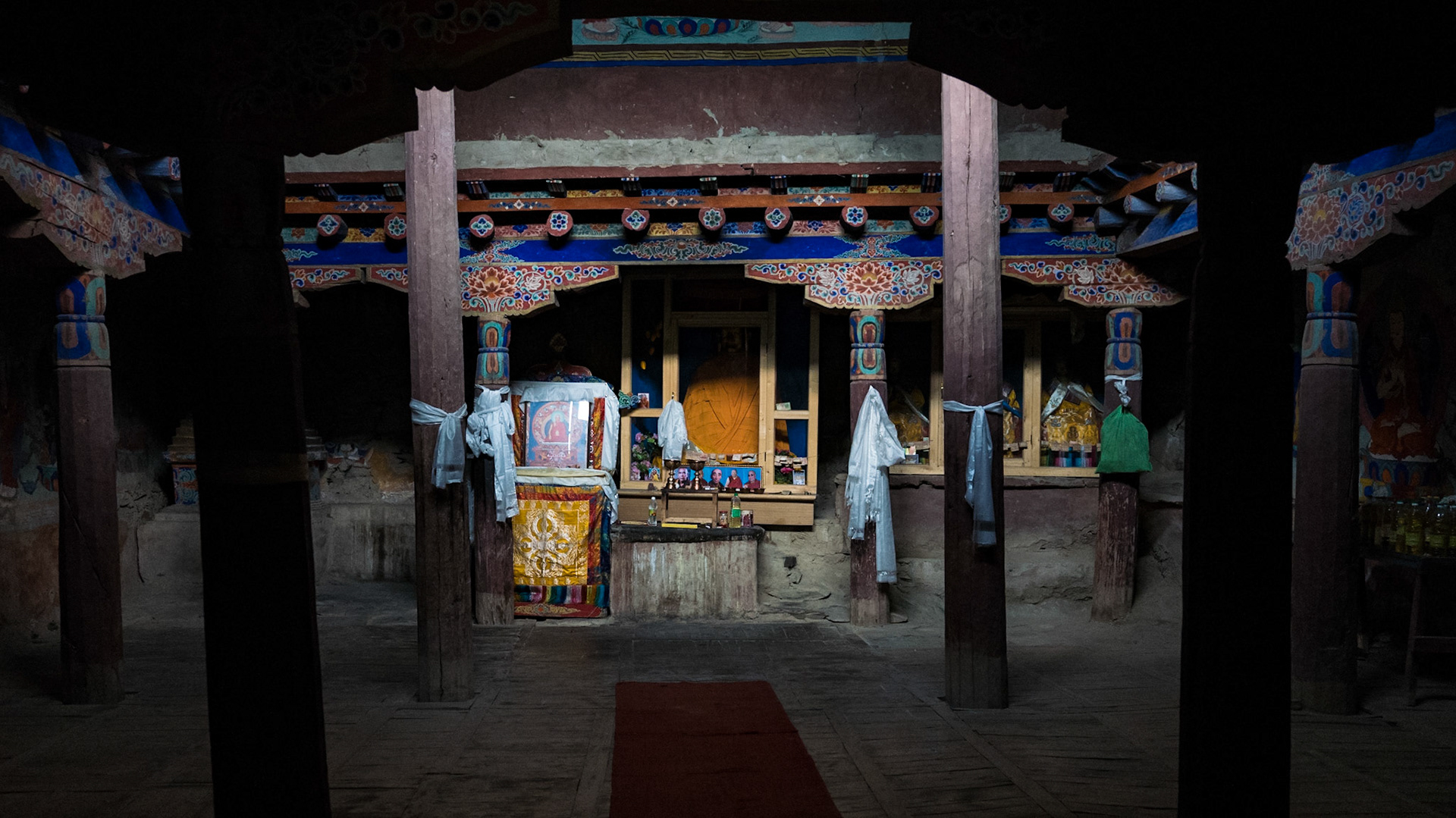
Day 4: Hemis, Thikse and Shey Monasteries
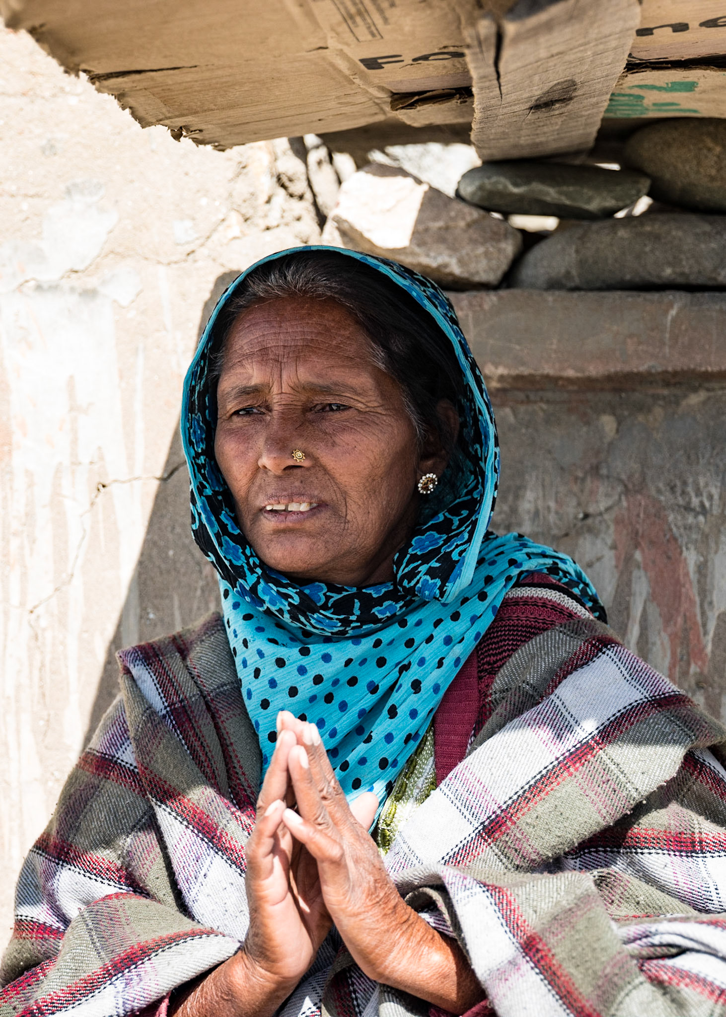
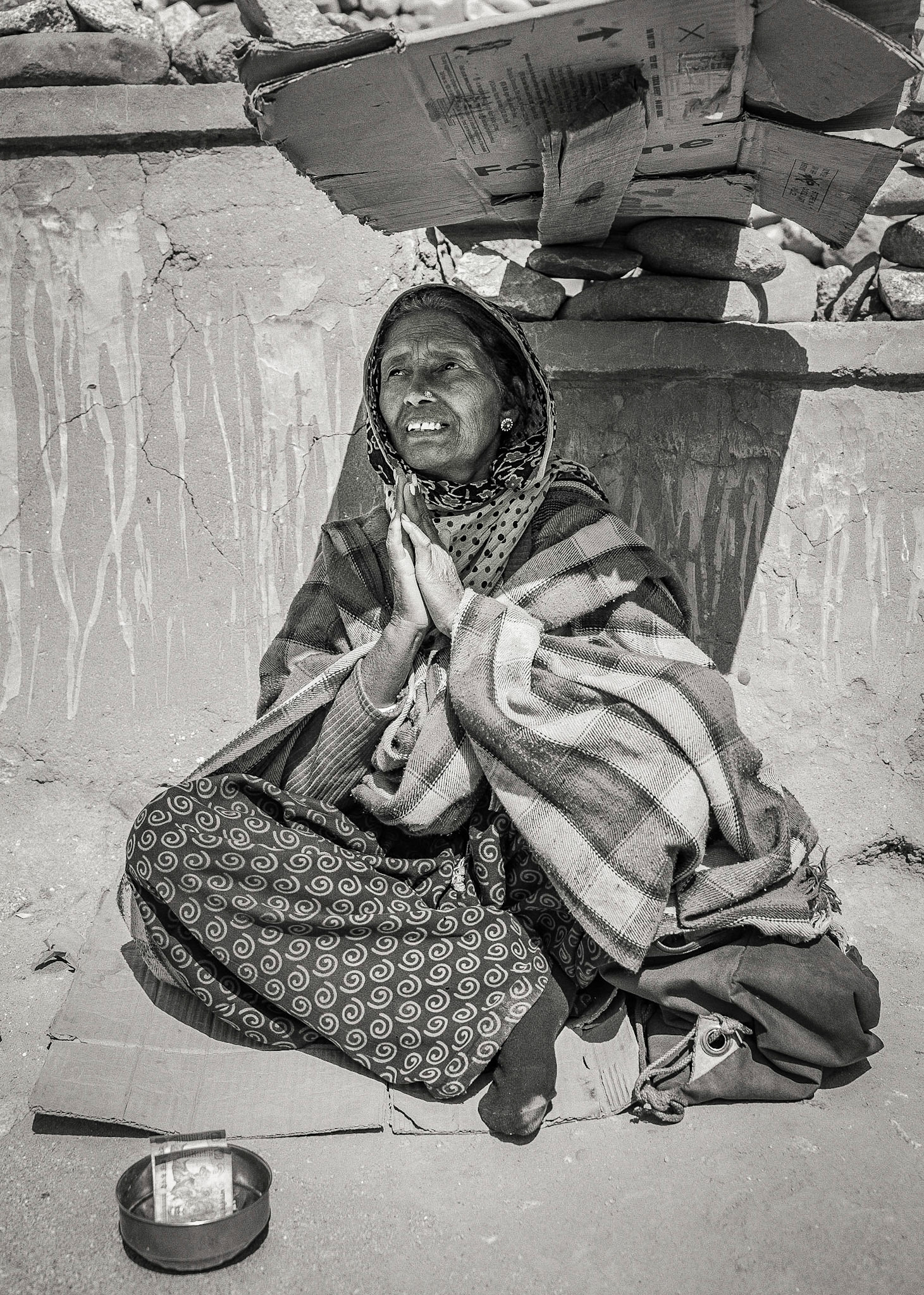
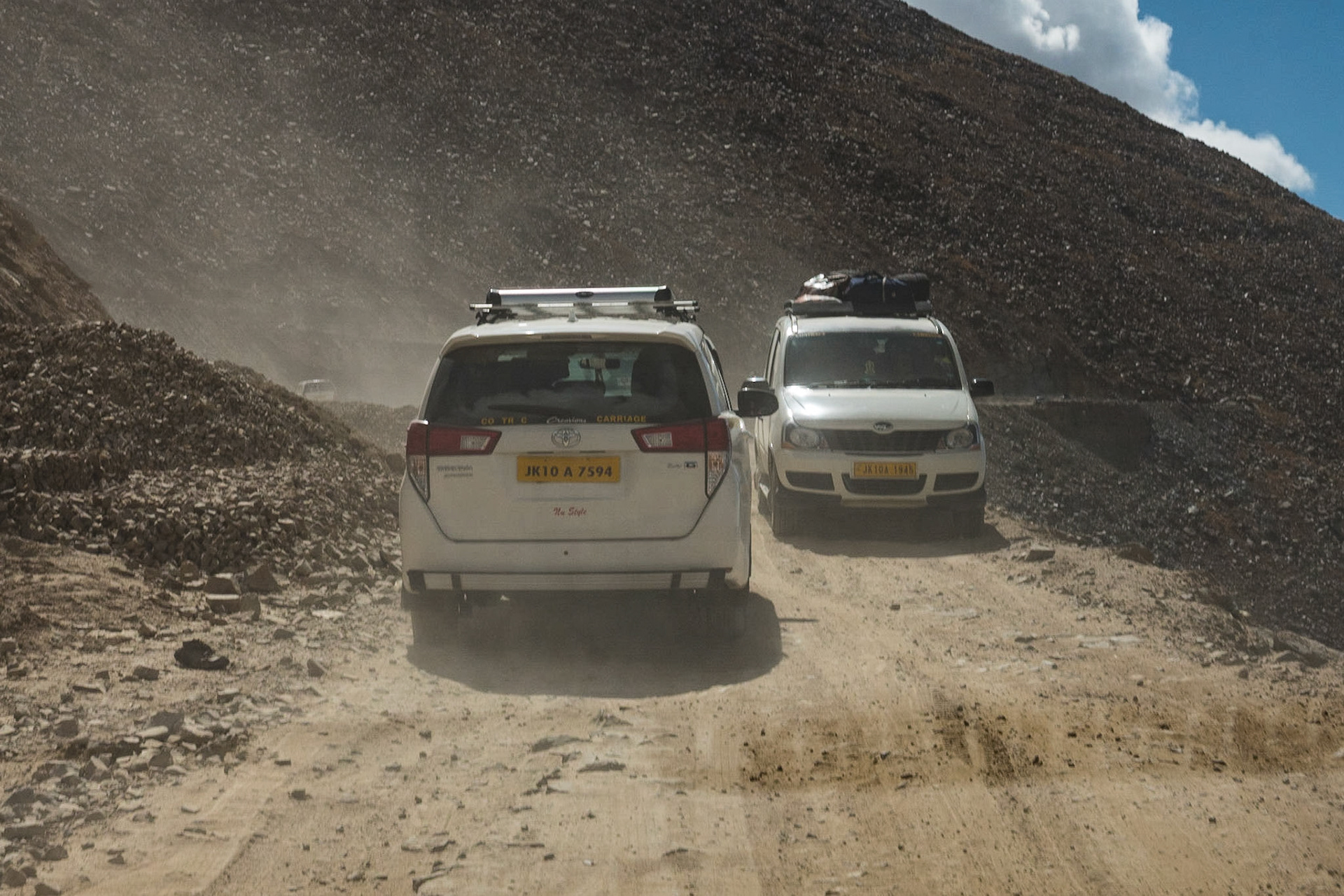
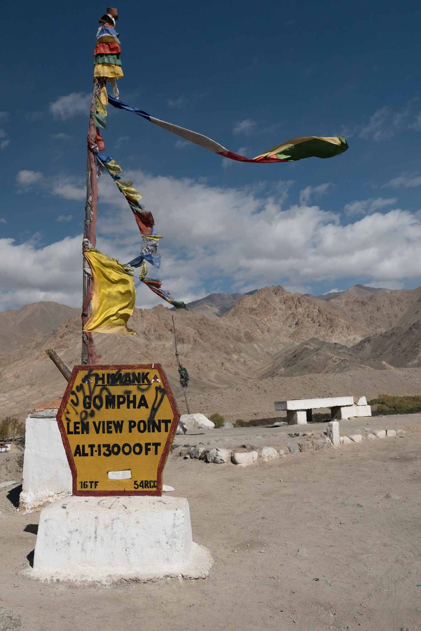
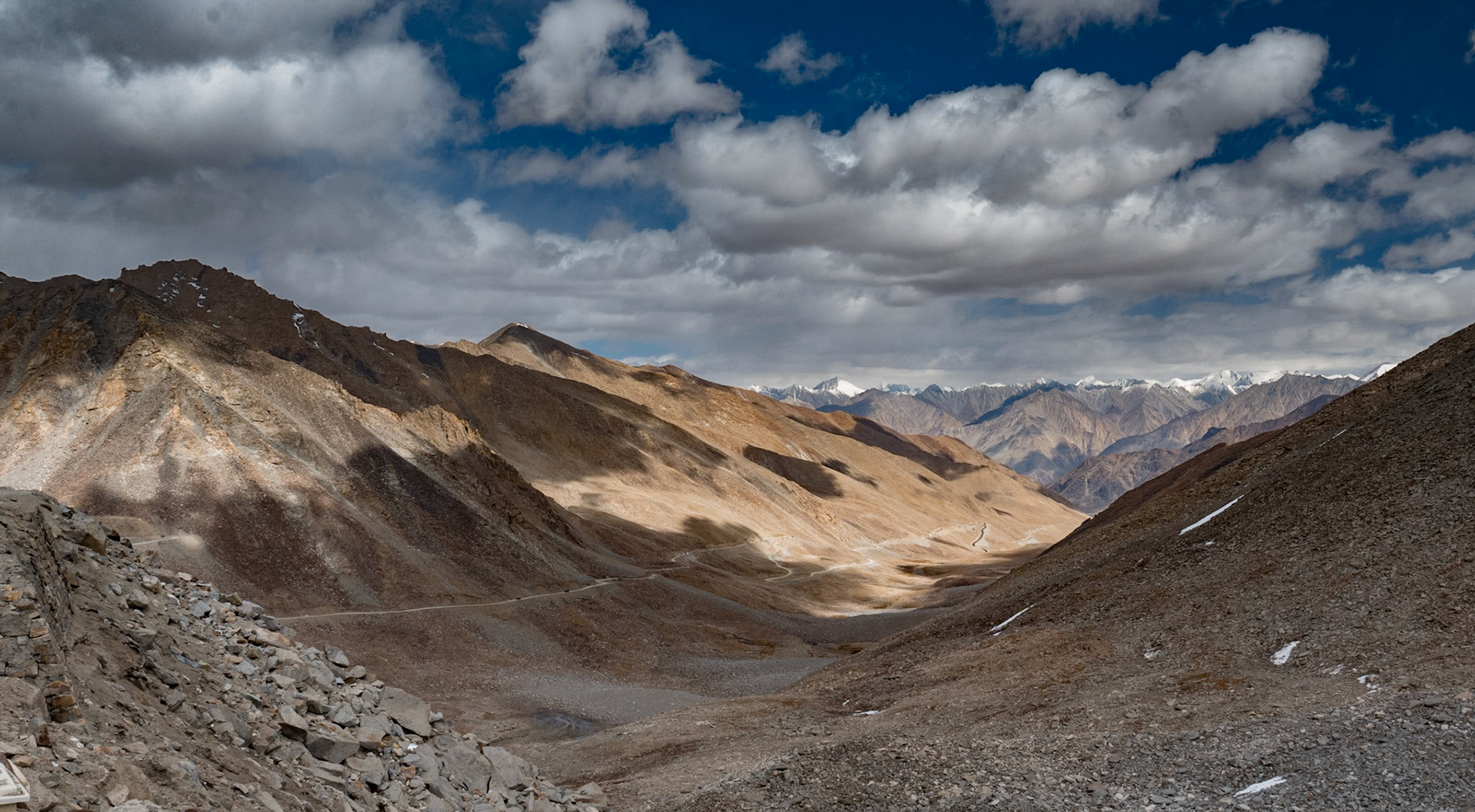
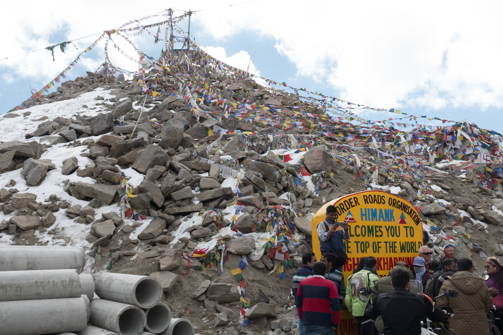
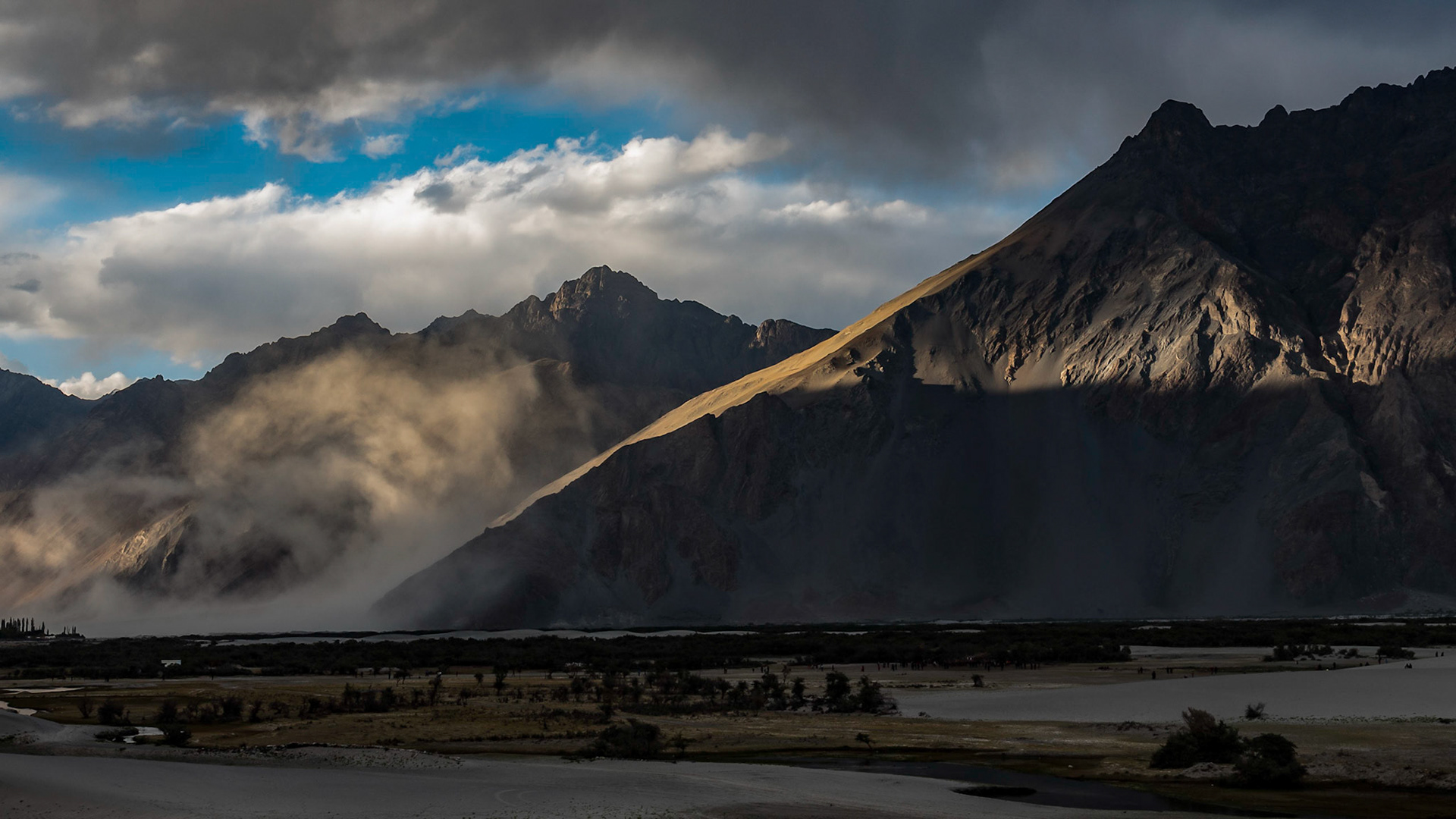
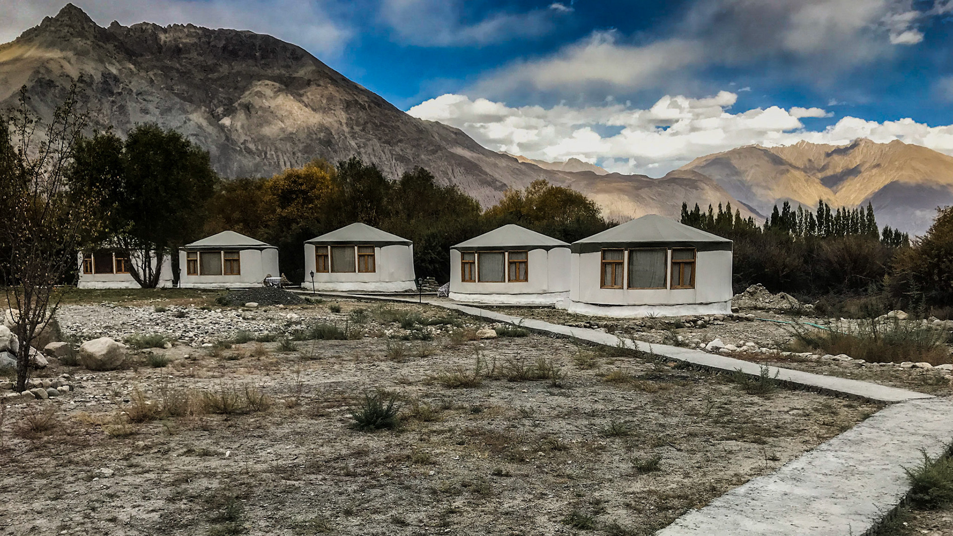
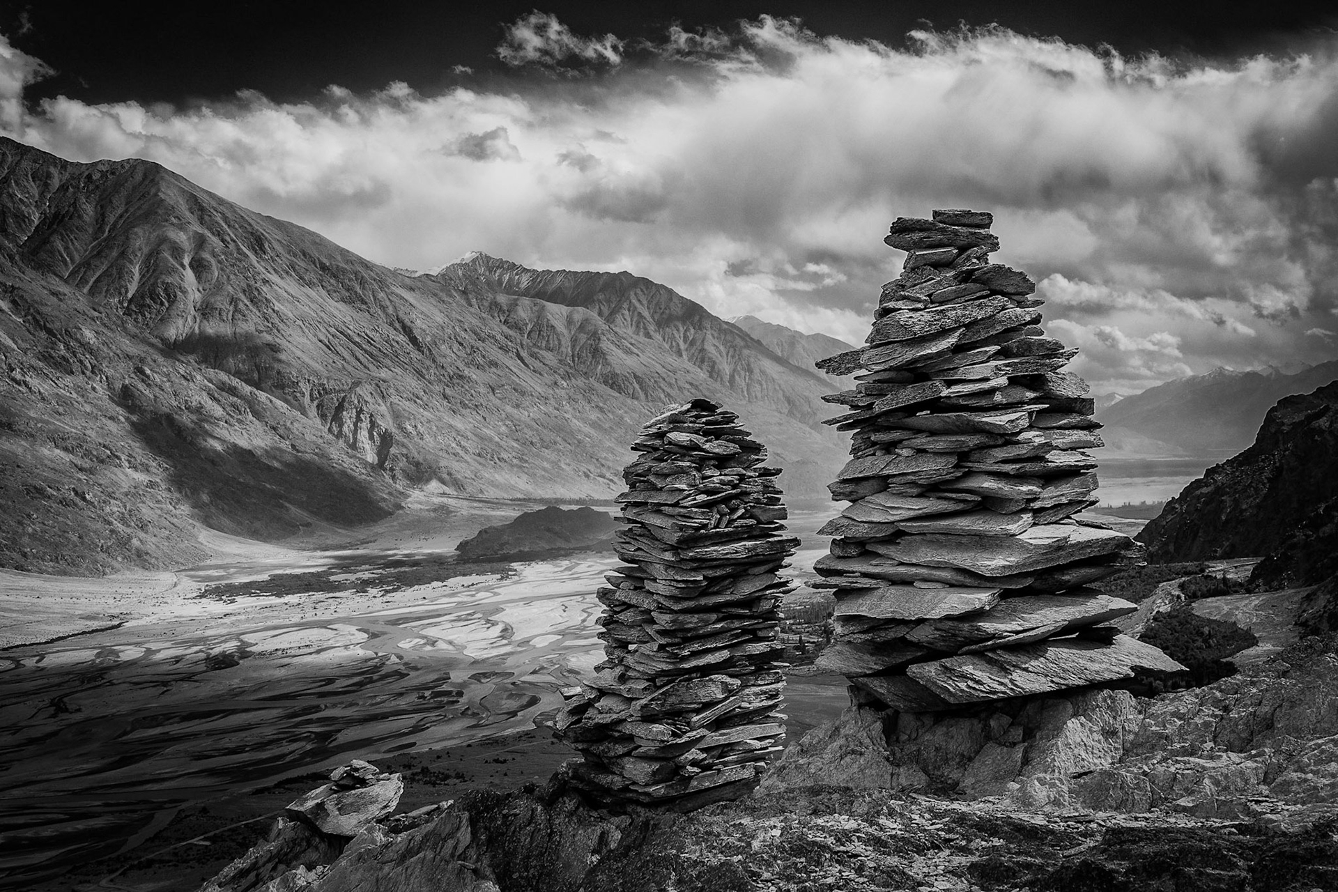
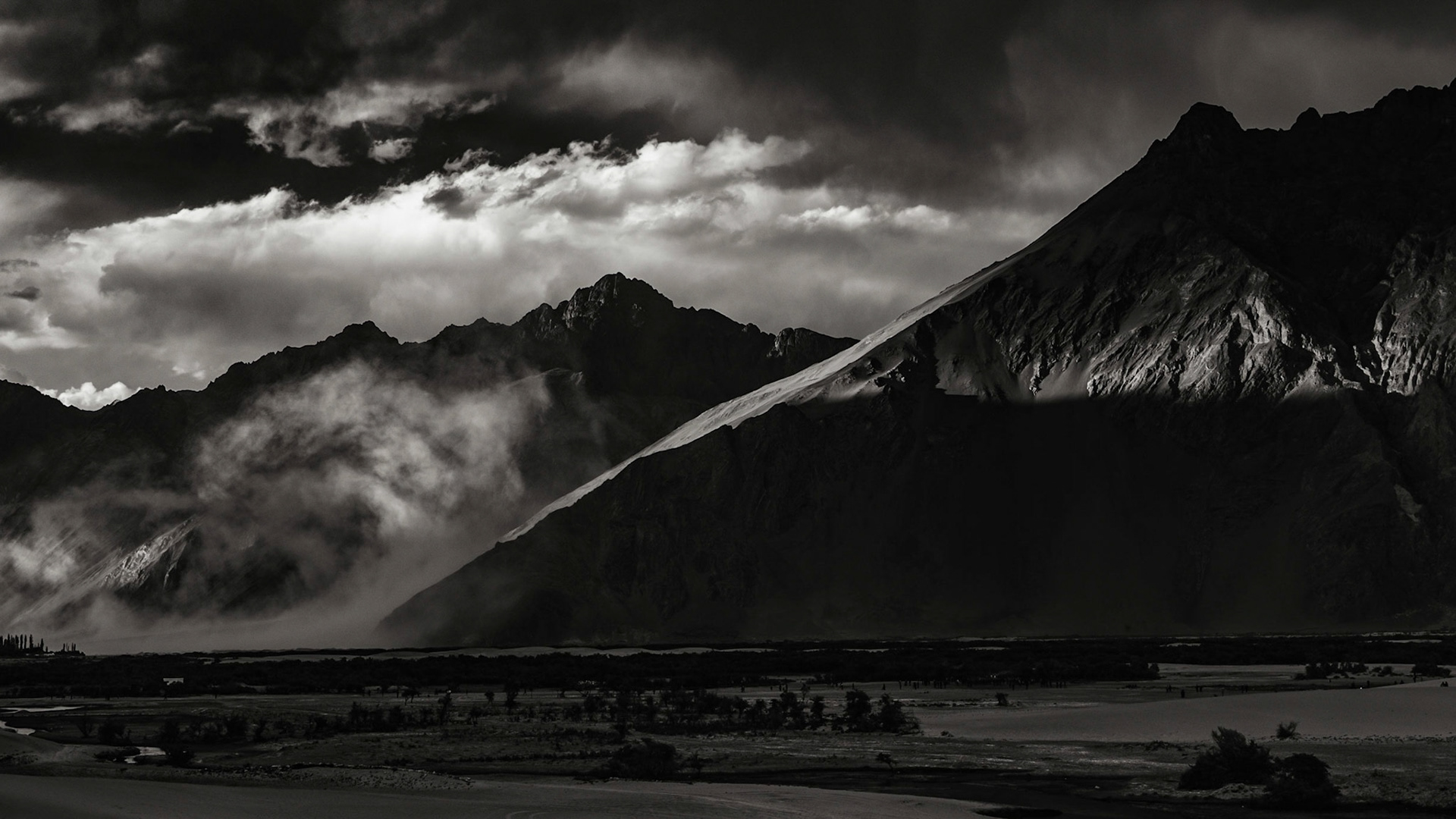
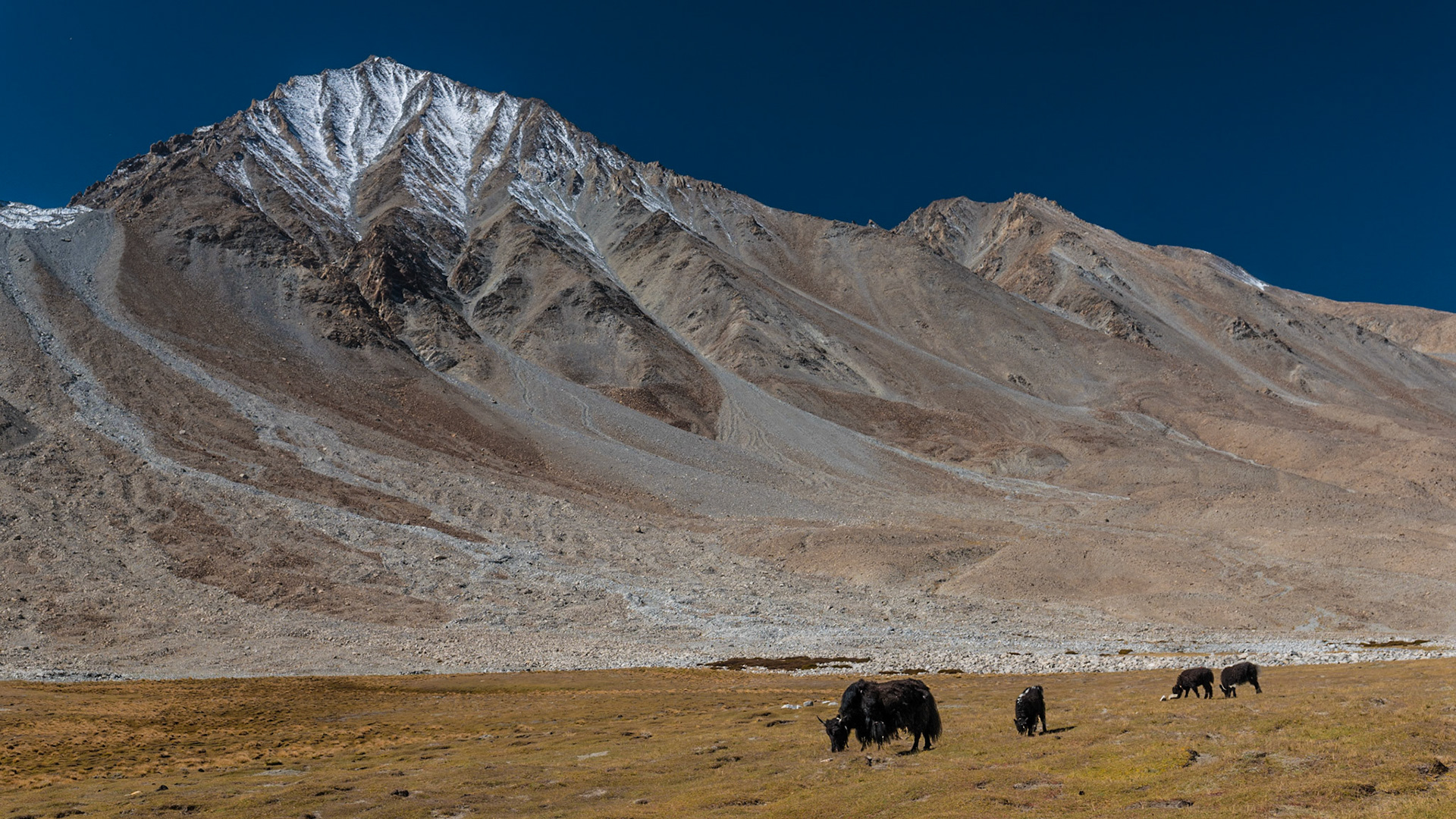
Day 5 : Travel to Nubra Valley and Sand Dunes
via Khardungla Pass
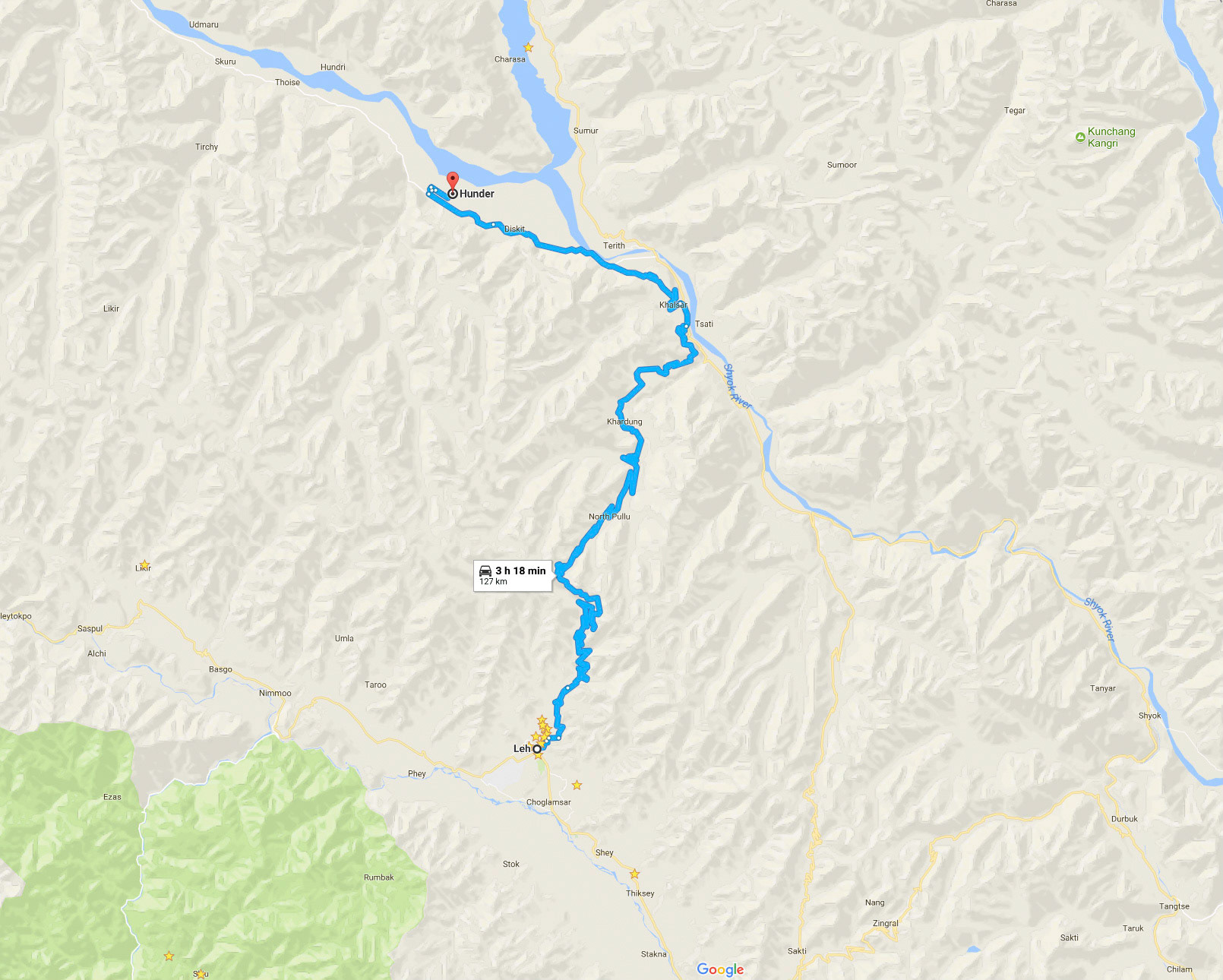
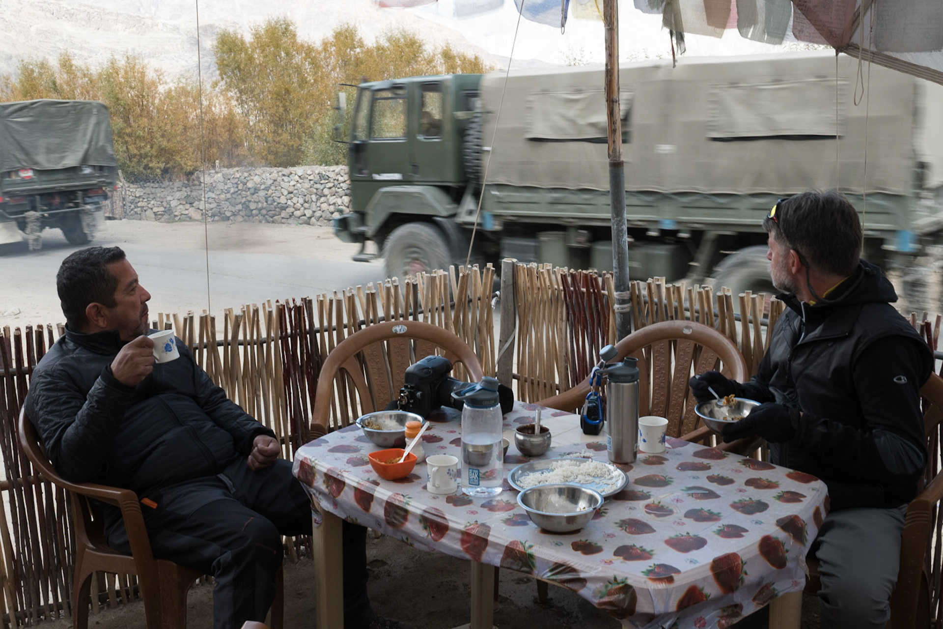

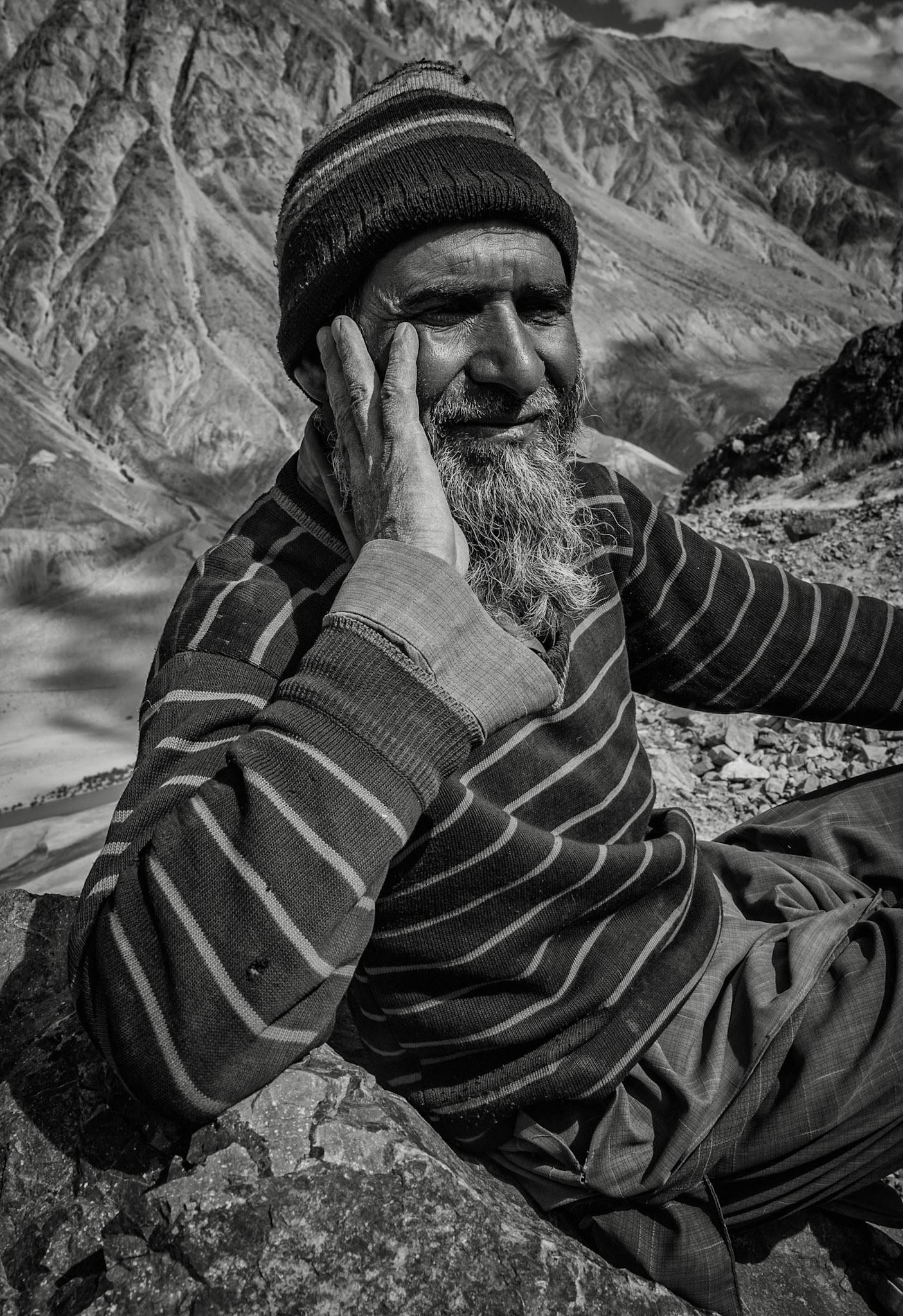
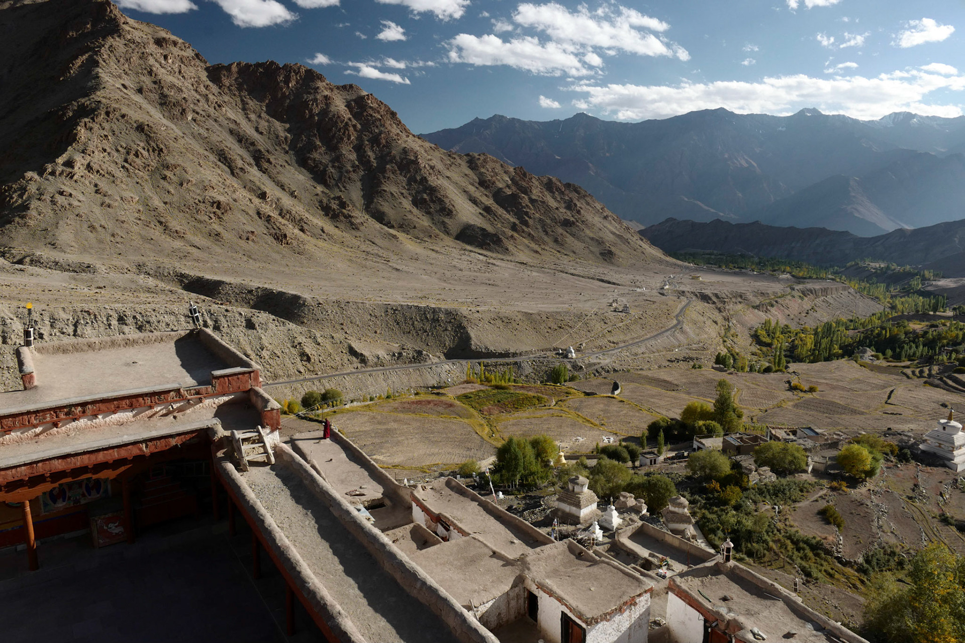
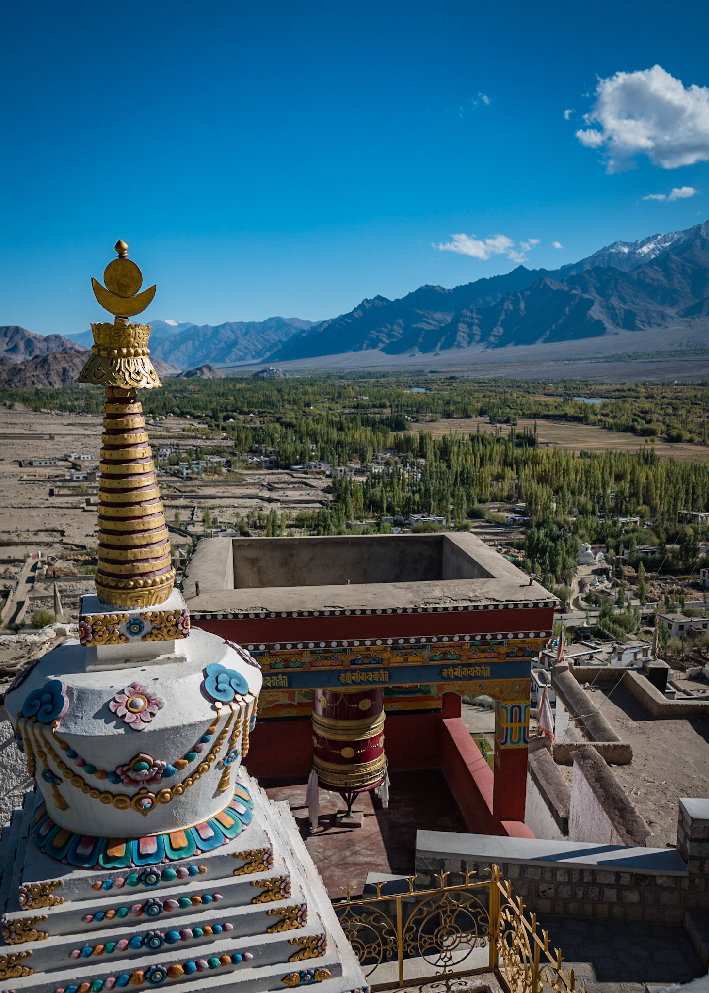
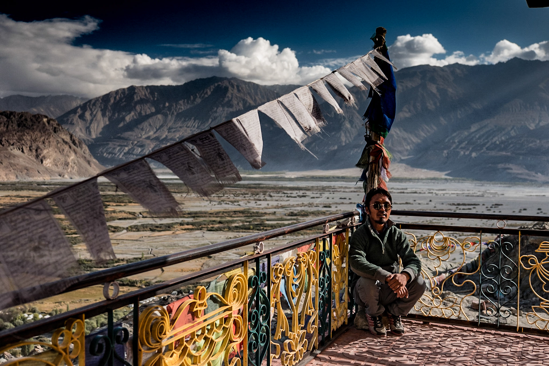
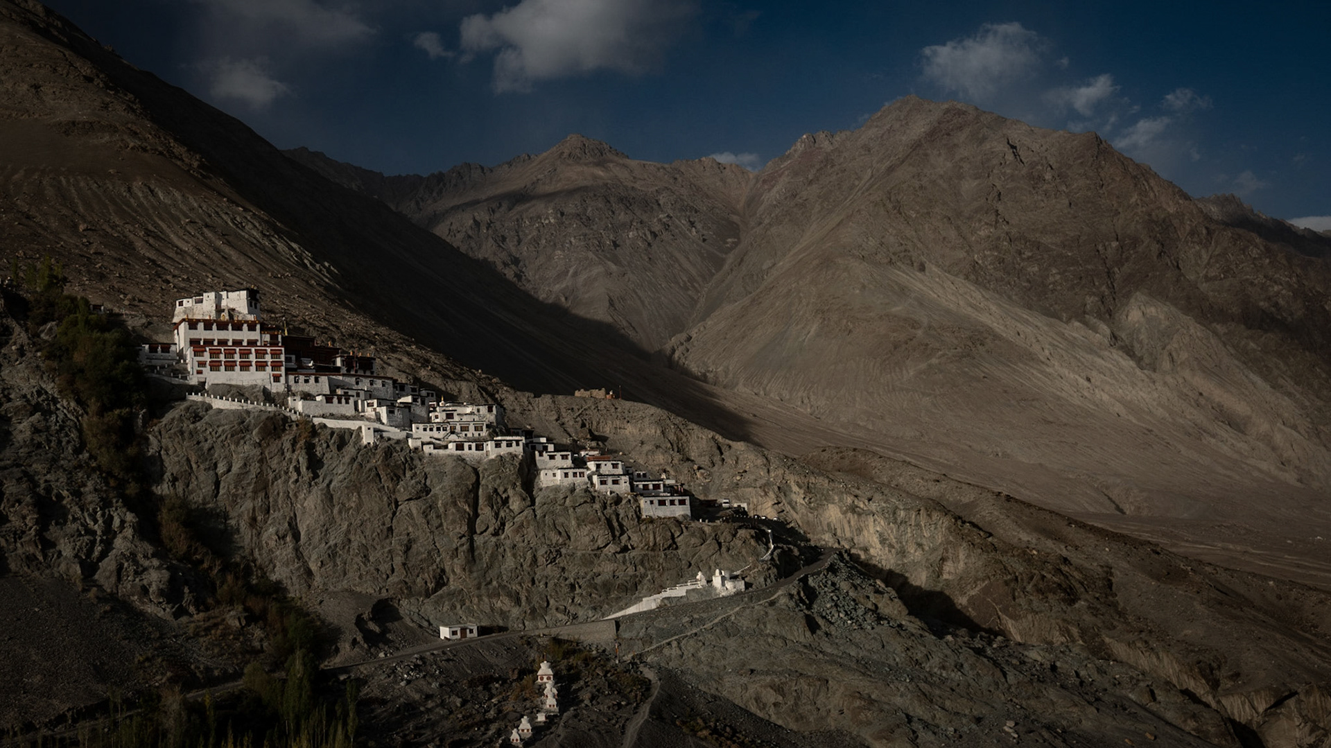
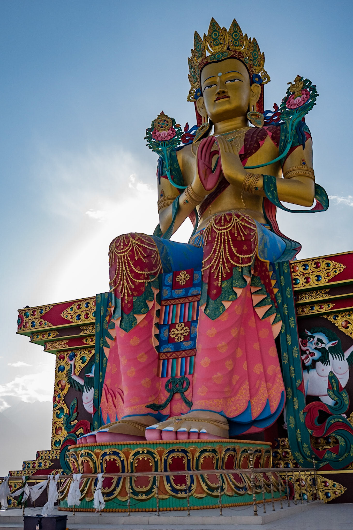
Day 6 : Nubra Valley - Ensa and Diskit Monestaries

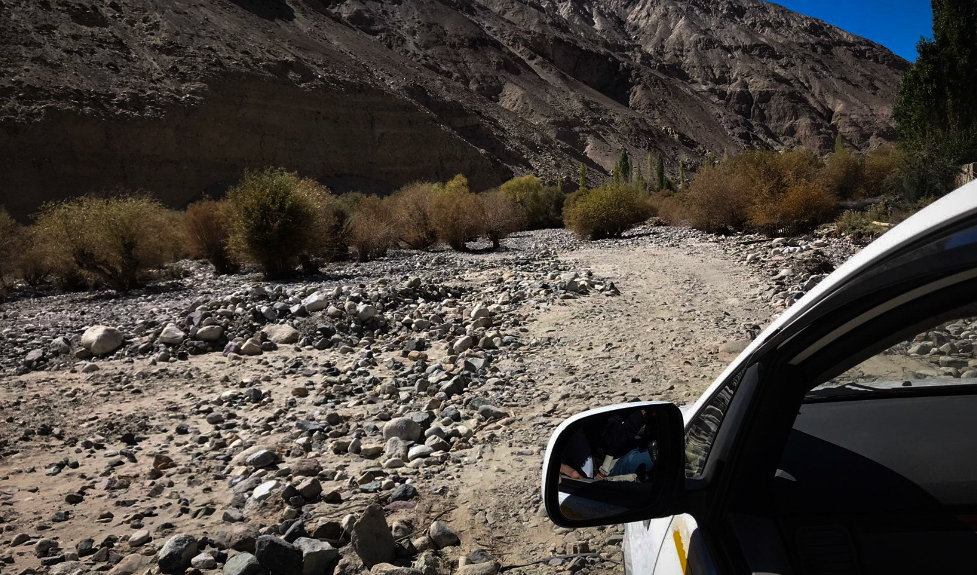
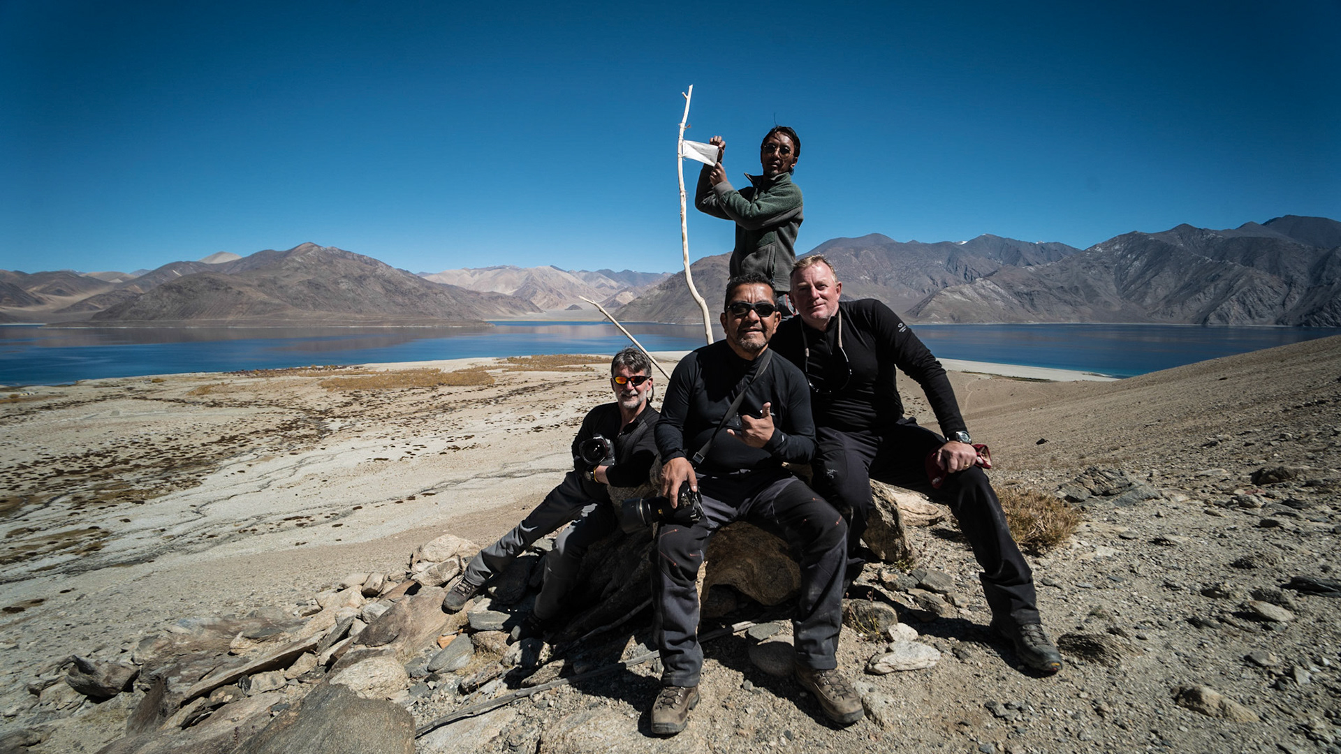
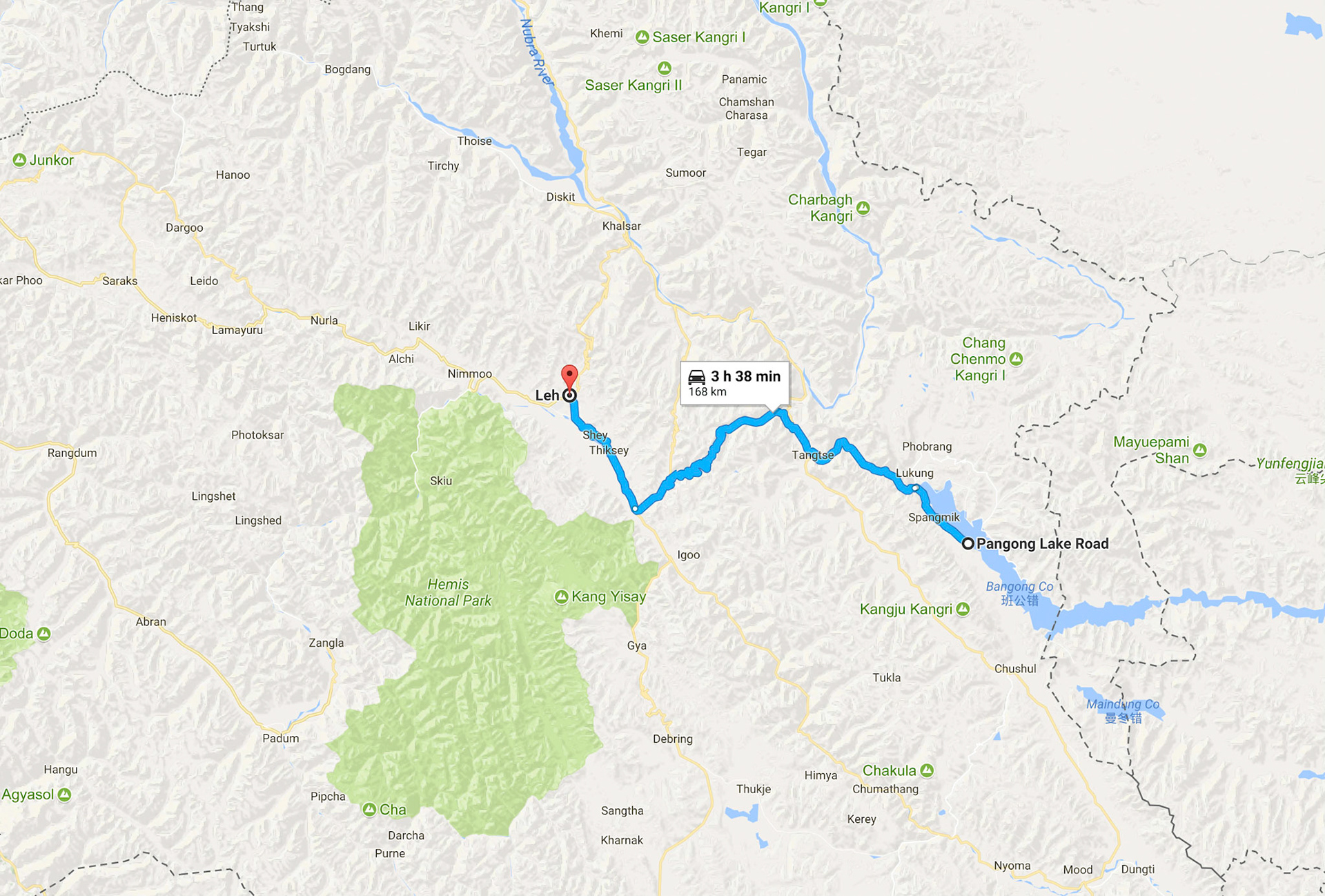
Day 7: To Pangong Lake
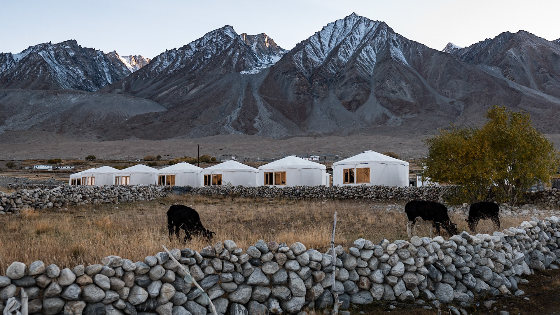
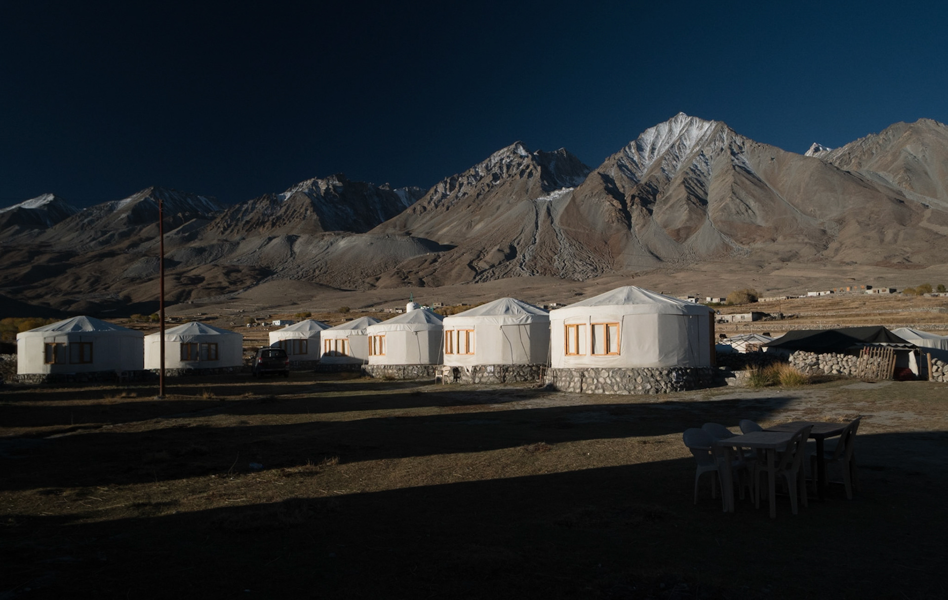
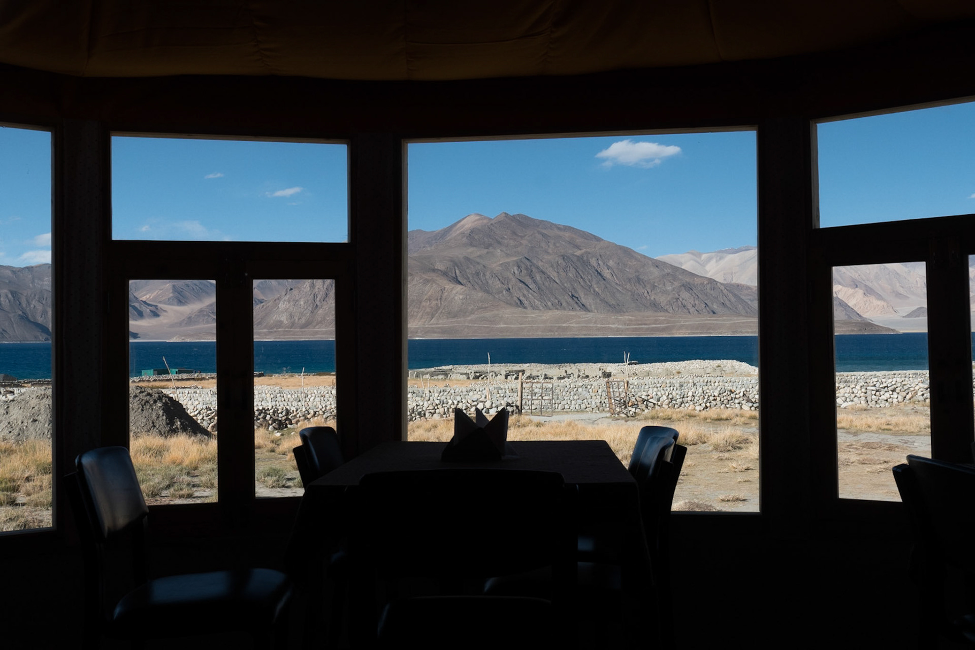
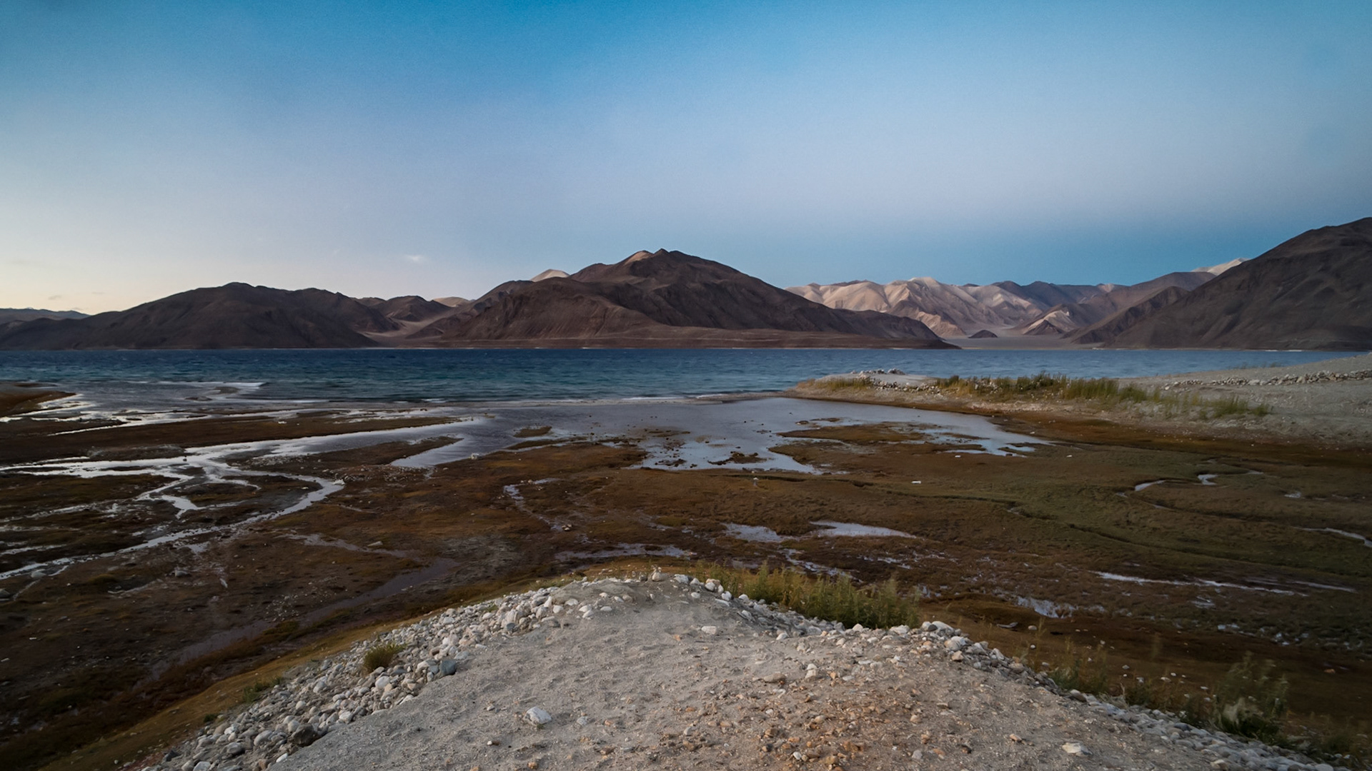
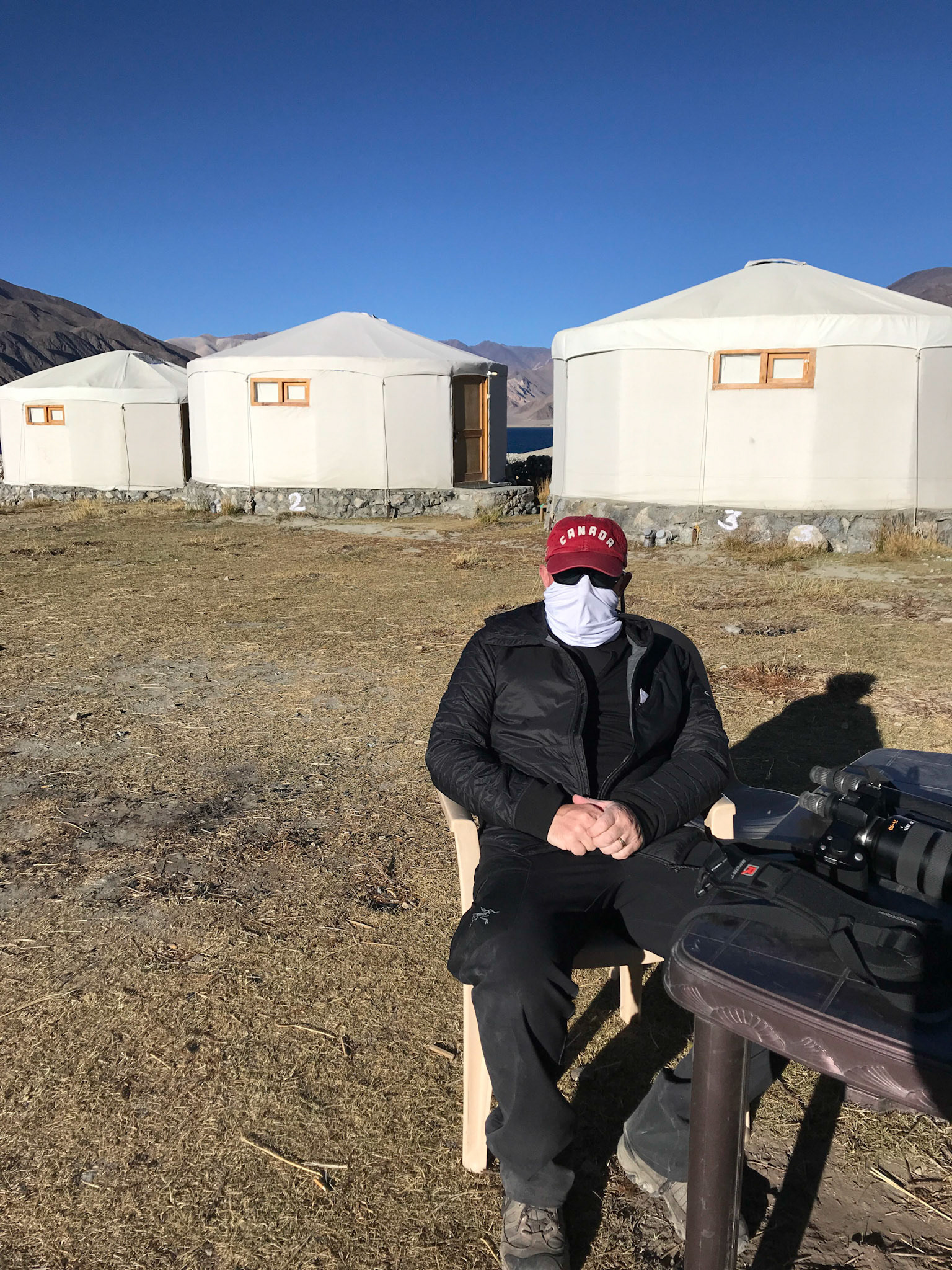
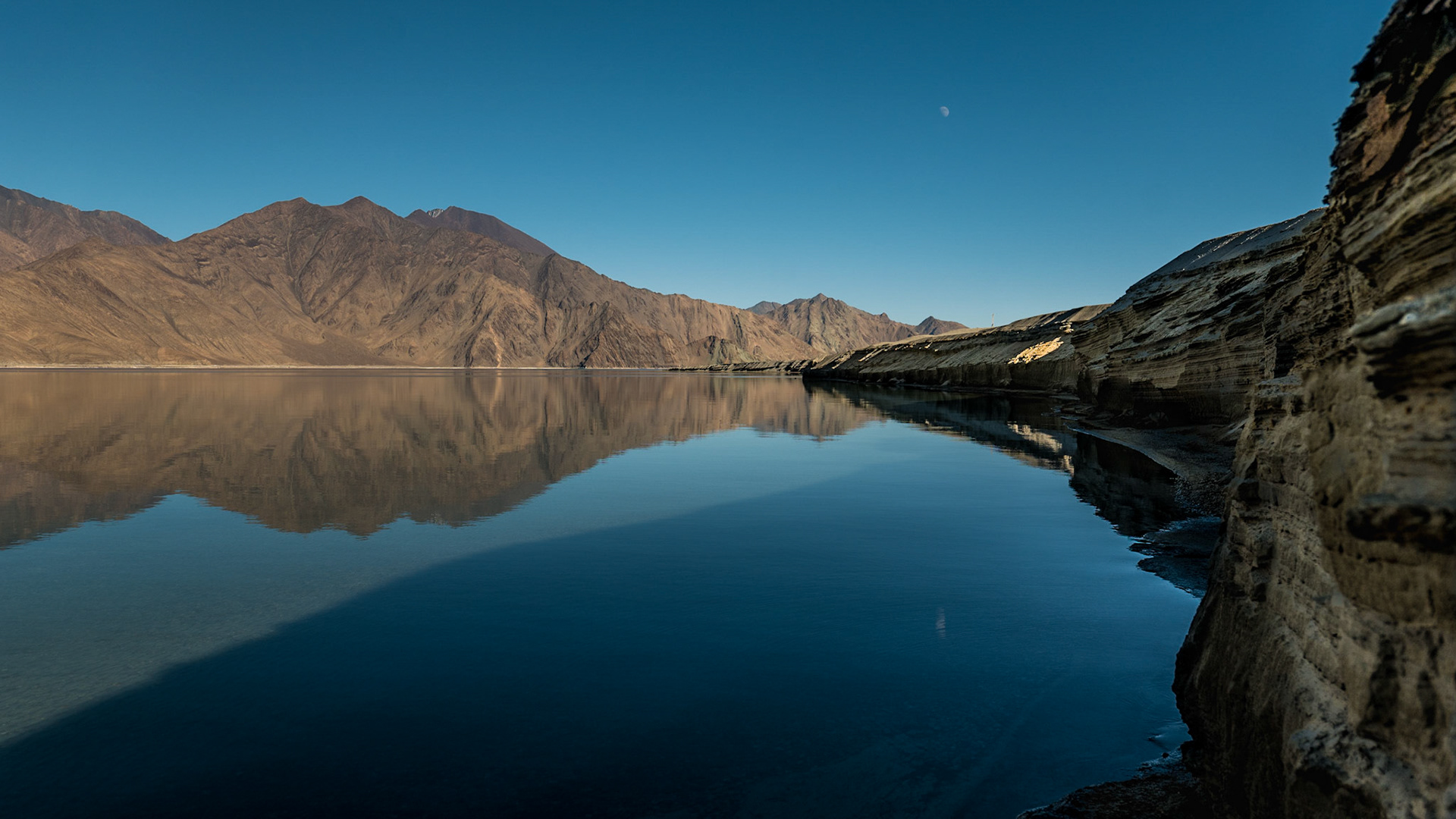
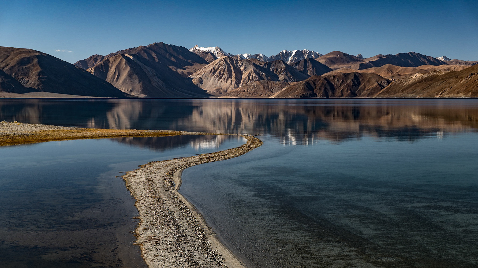
Day 8: Pangong Lake

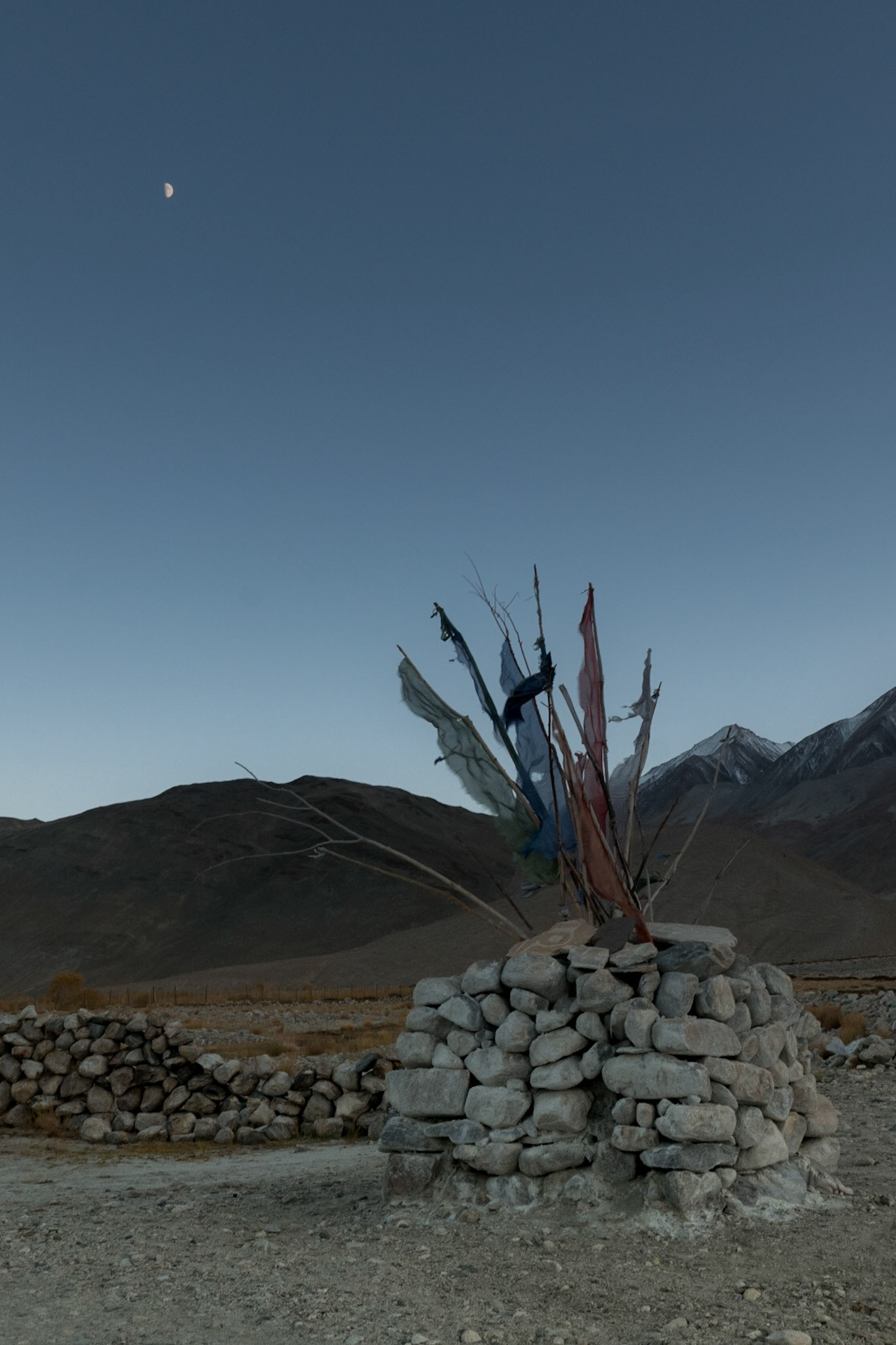
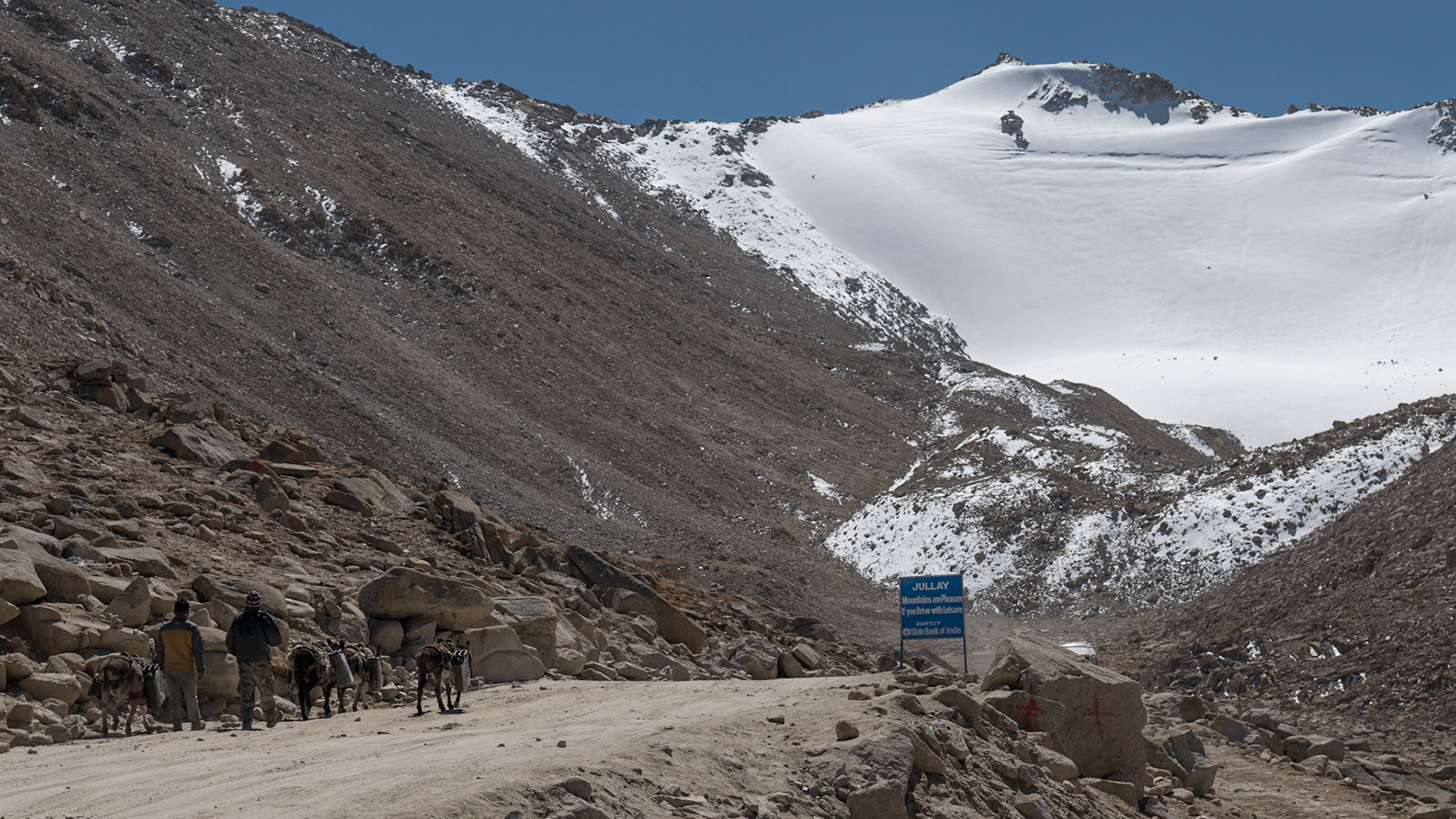
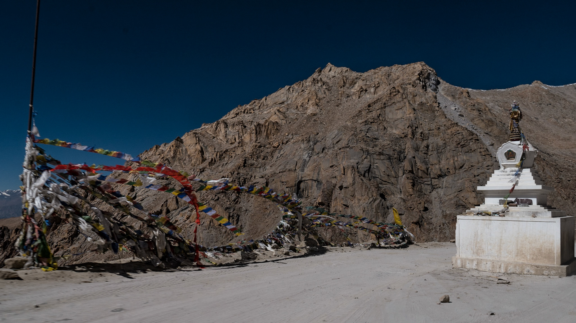
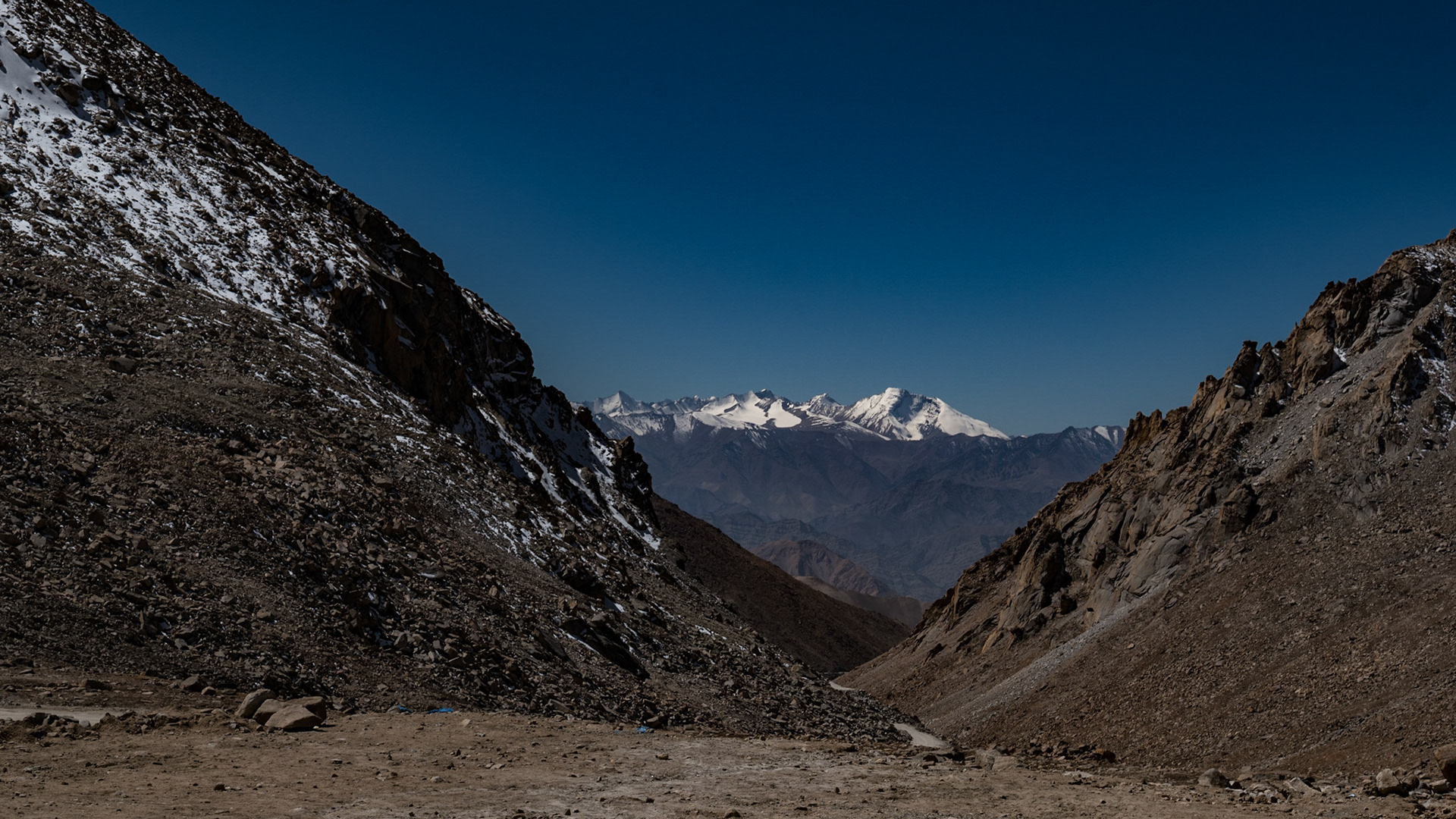
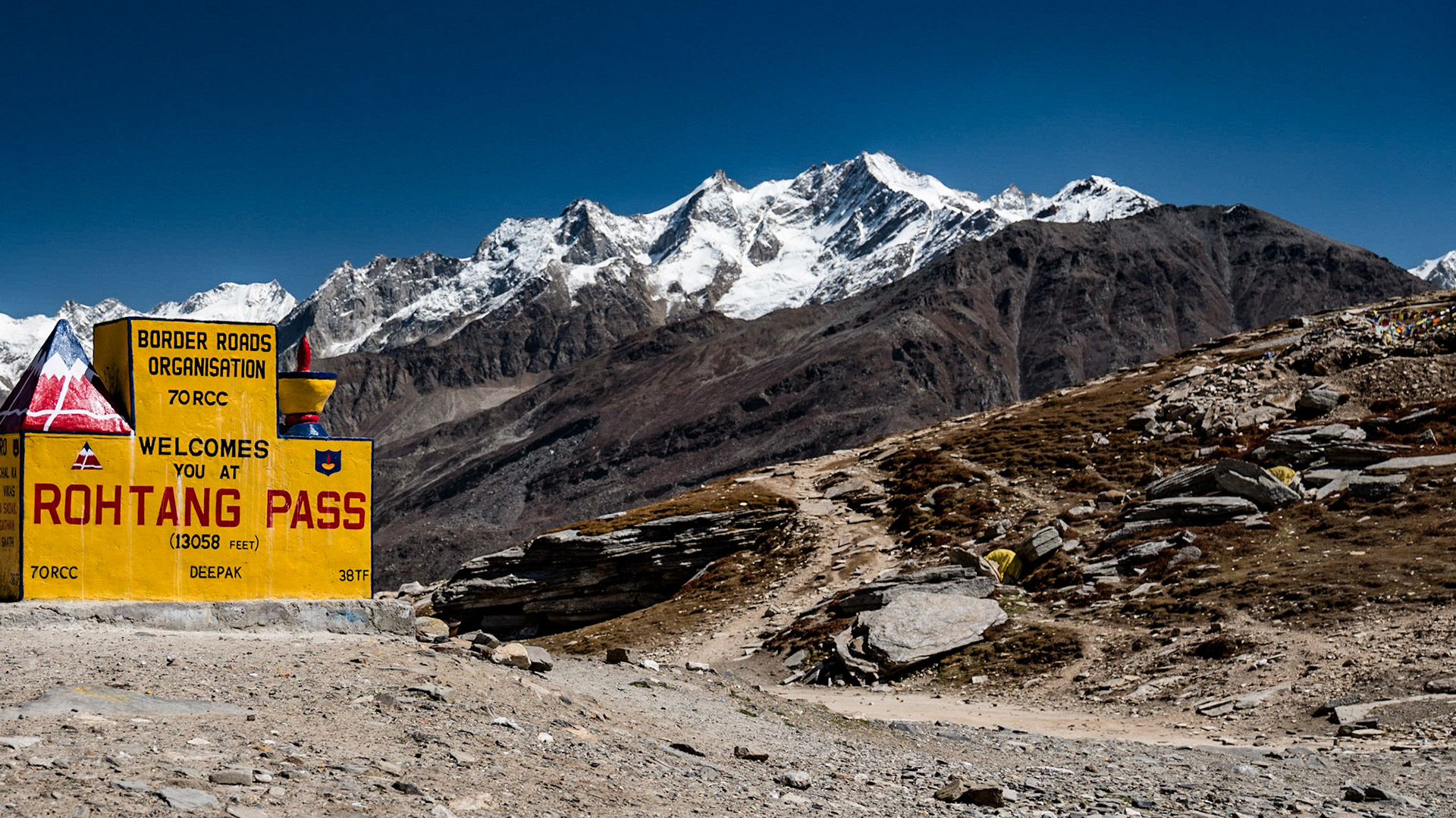
Day 9: Back to Leh and the Ladakh Sarai via Changla Pass
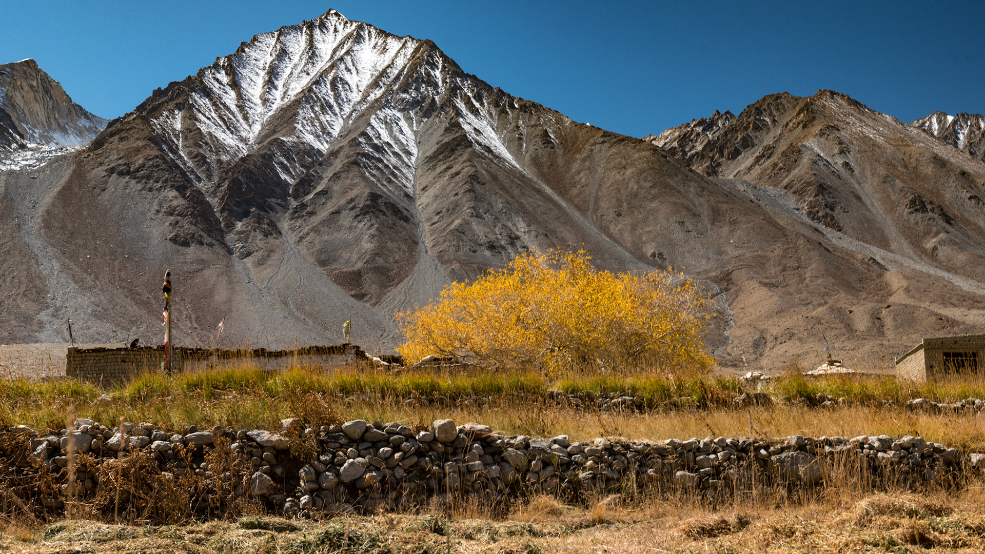
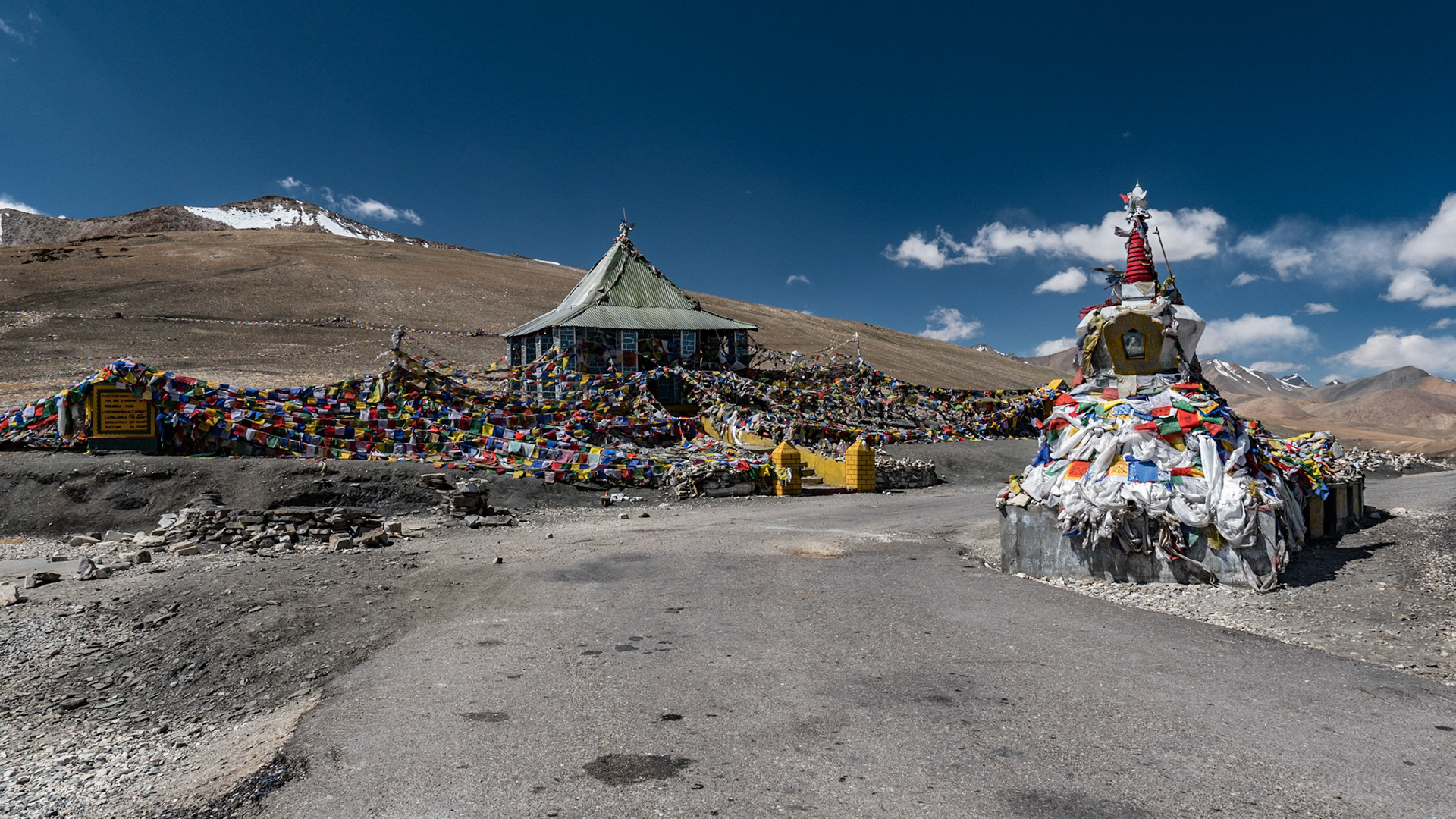
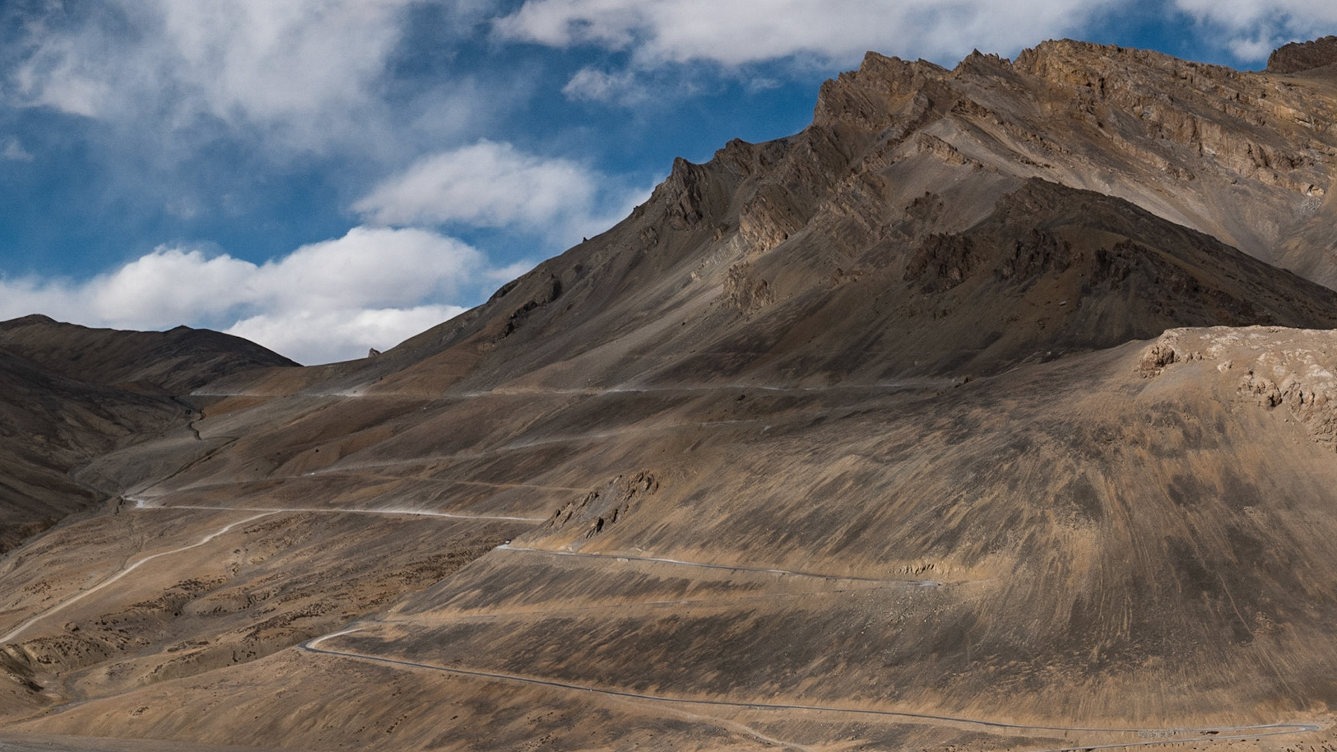
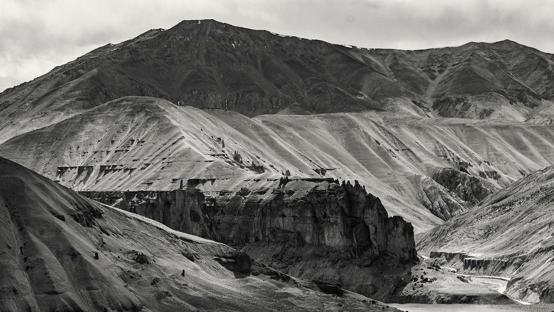
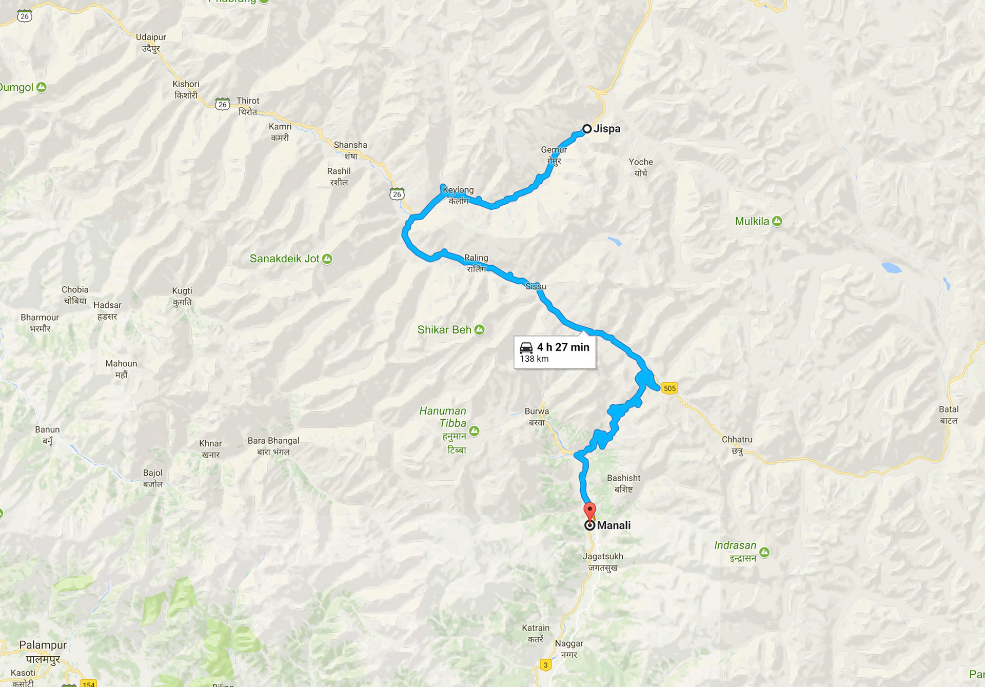
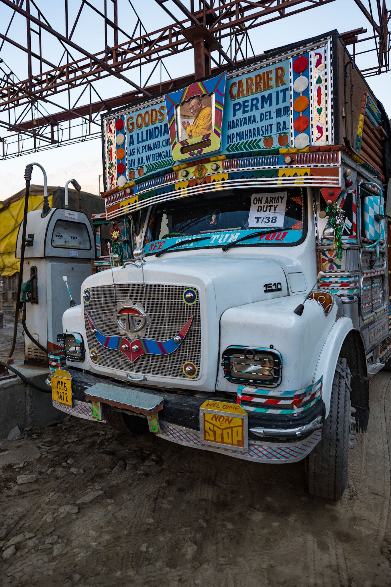
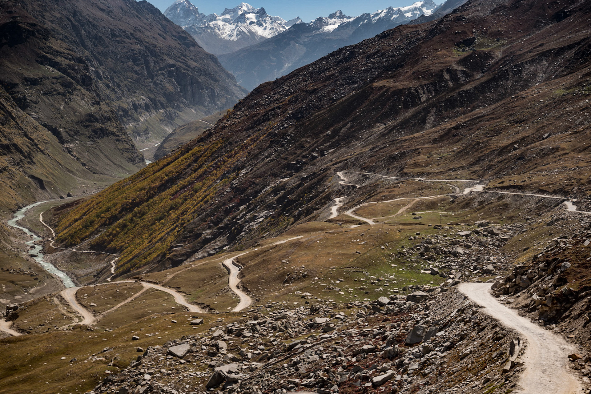
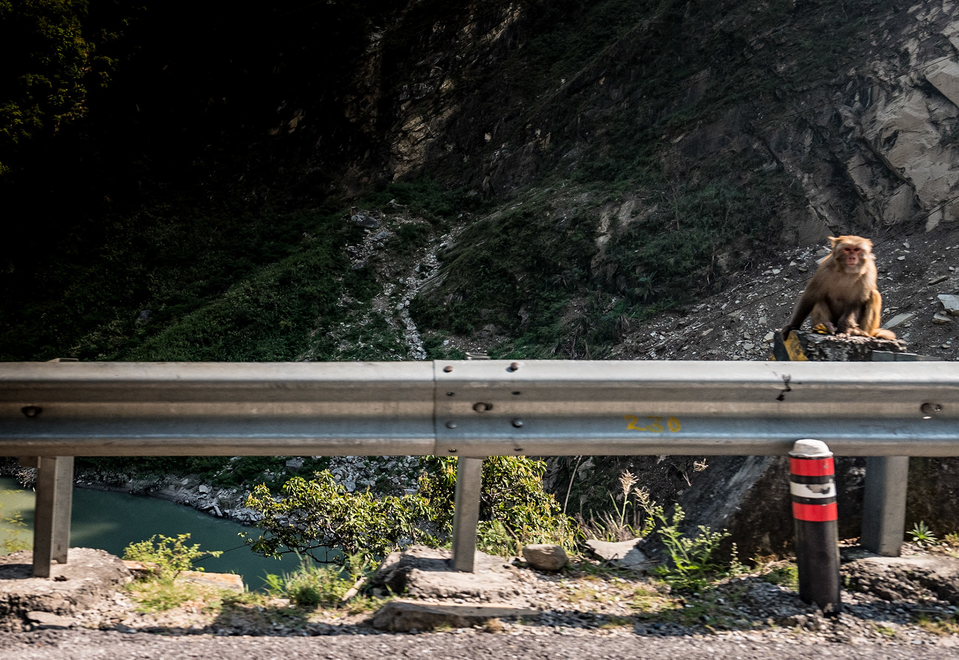
Day 10: Ley-Manali Highway & Keylong - Ley Road via to Jispa
1. Taglangla Pass at 16,042 feet Altitude 2. The Ley-Manali Highway slices through the Mountains to Jispa
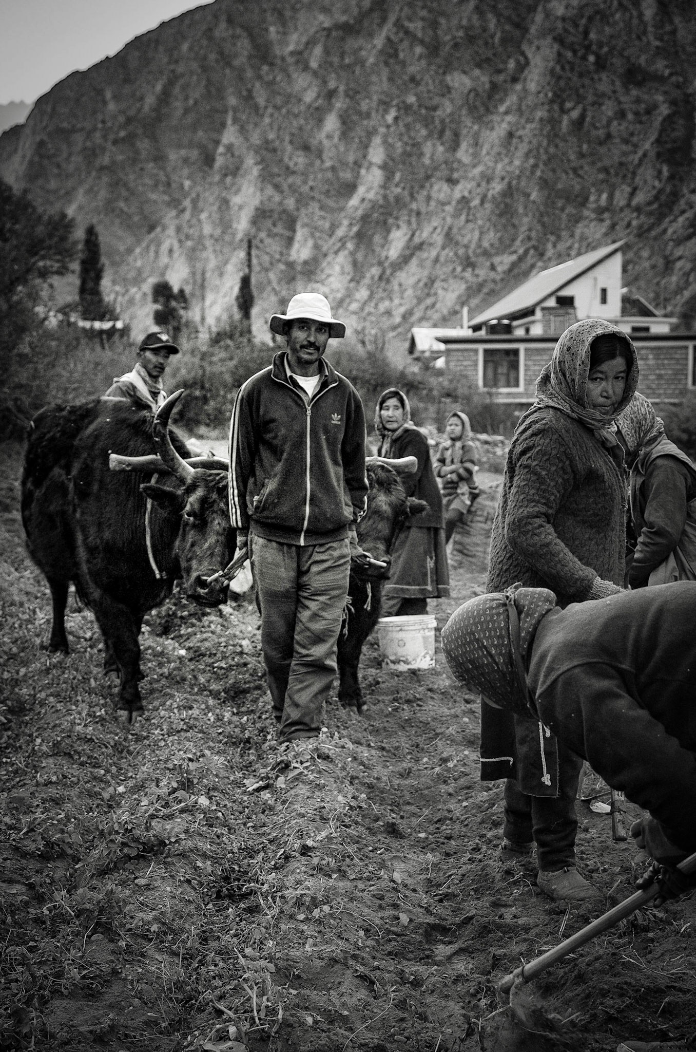
Day 11: Jispa

Day 12: Manali
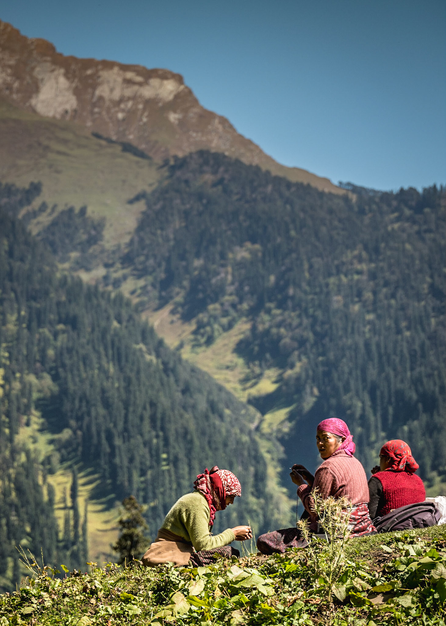


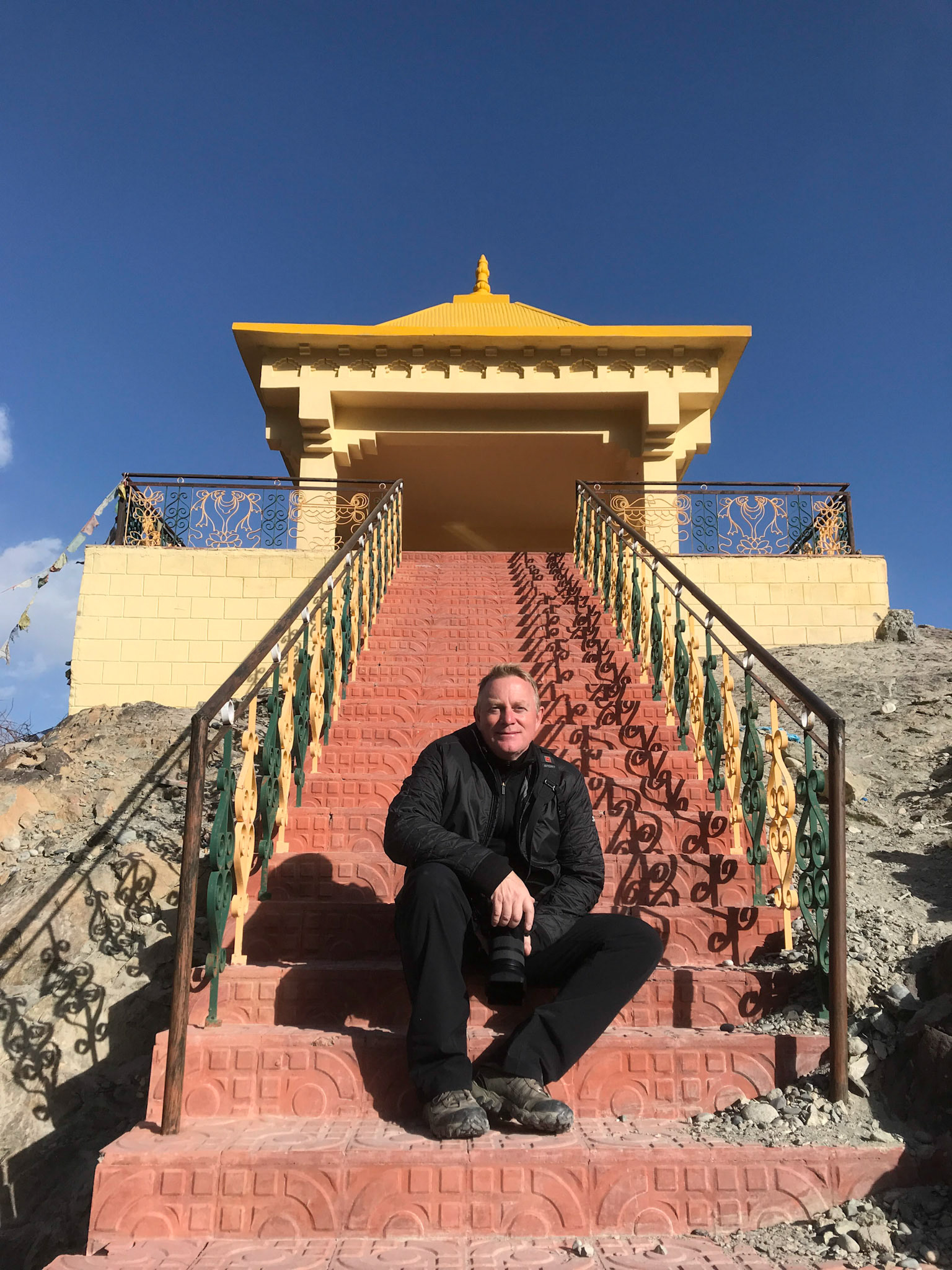
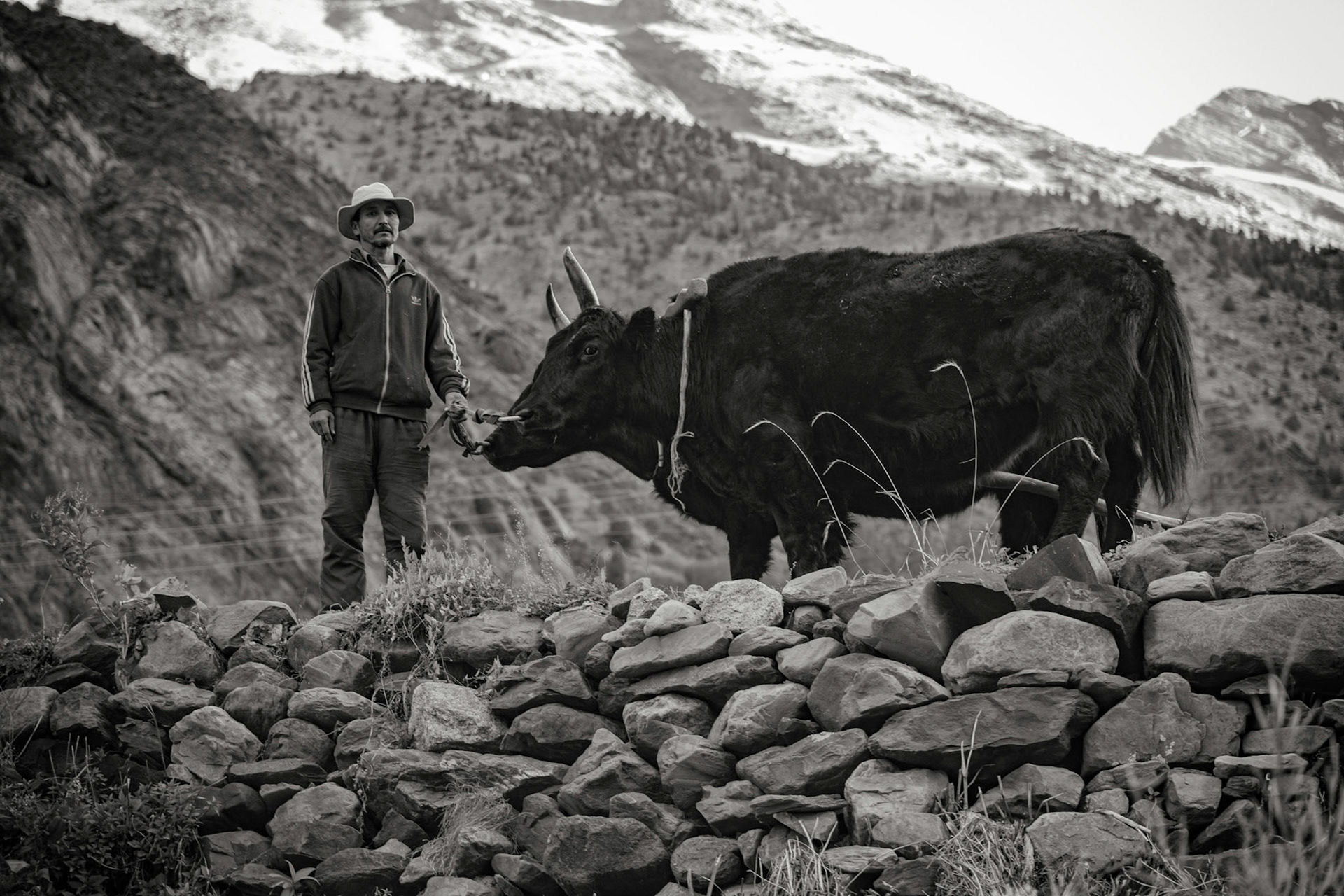
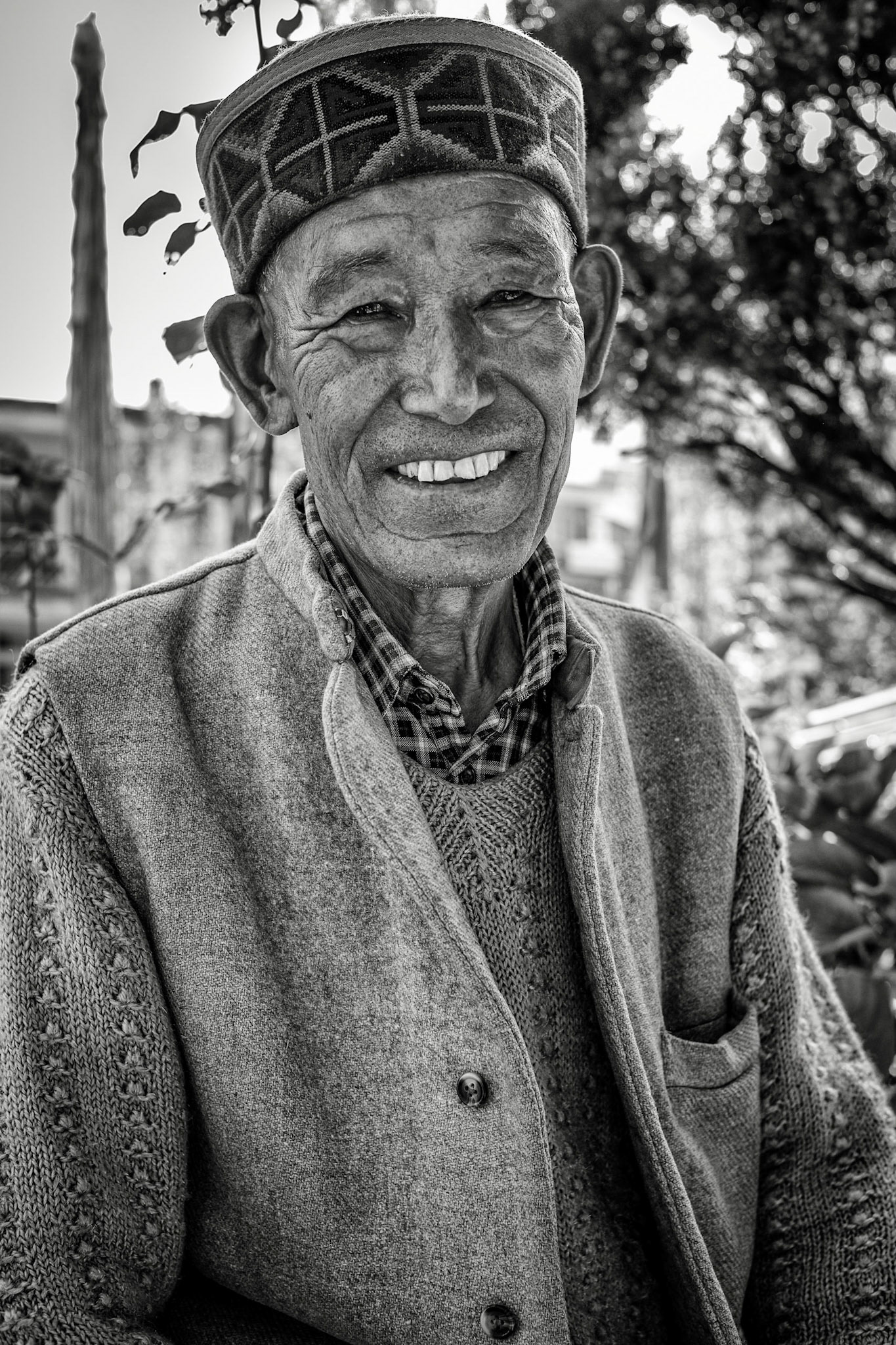
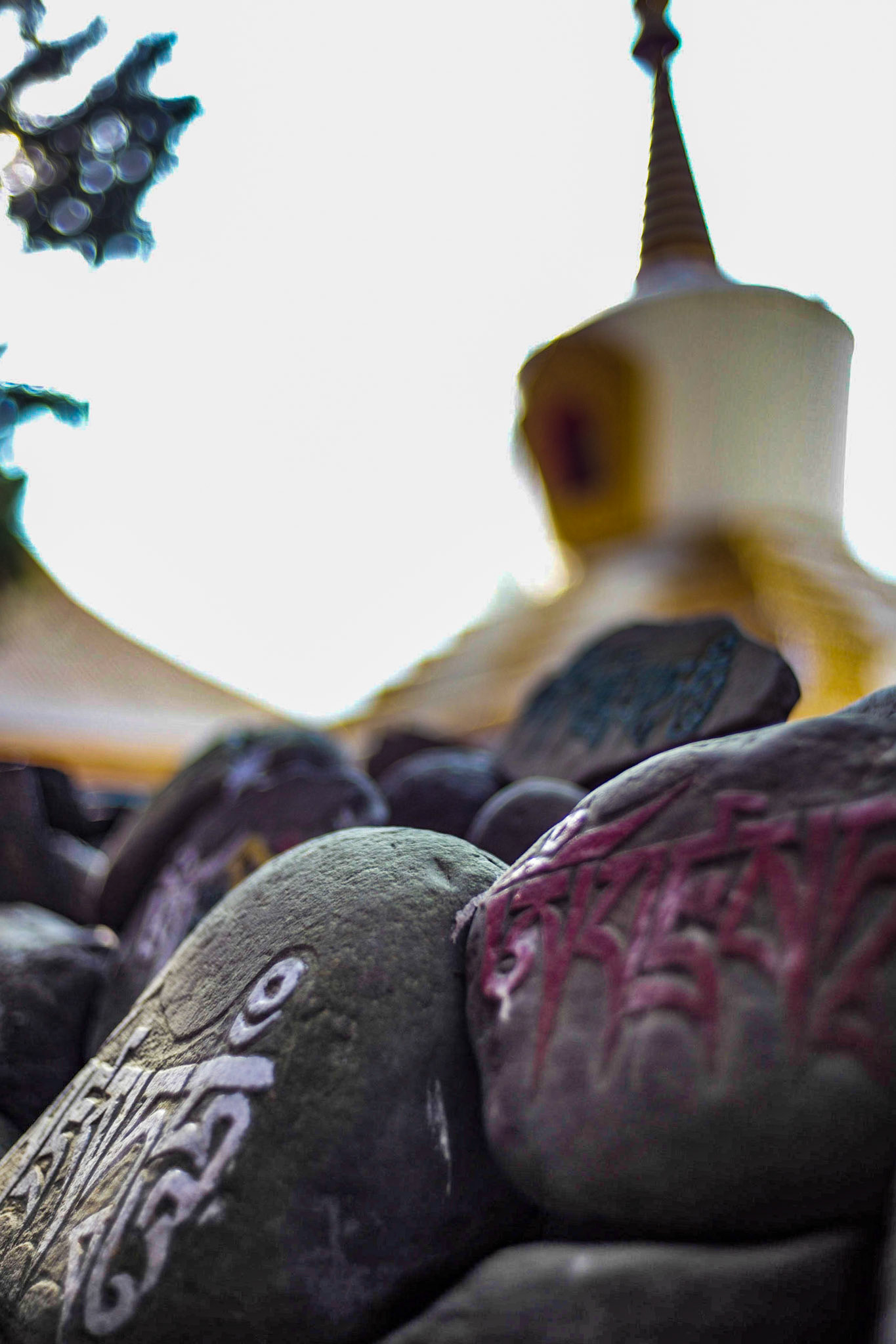
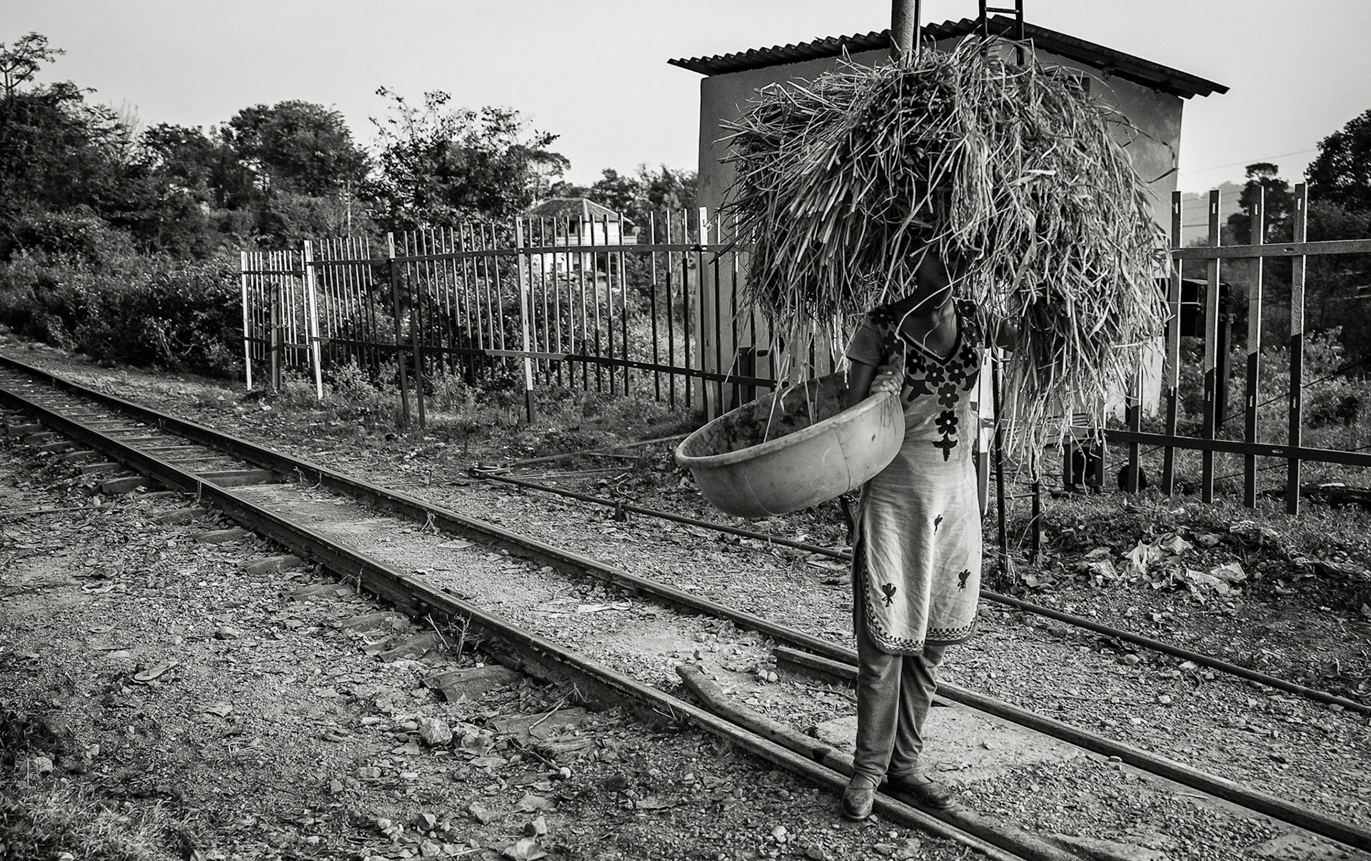
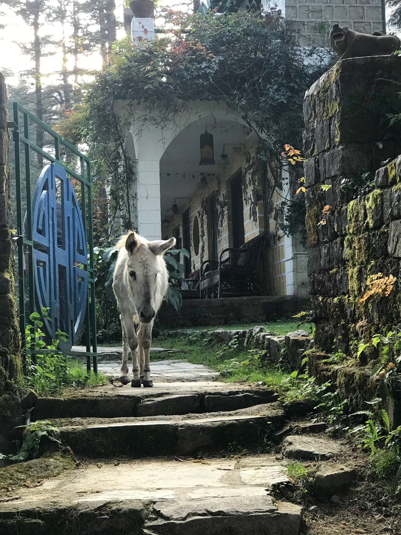
Day 13: Manali to Dharmasala
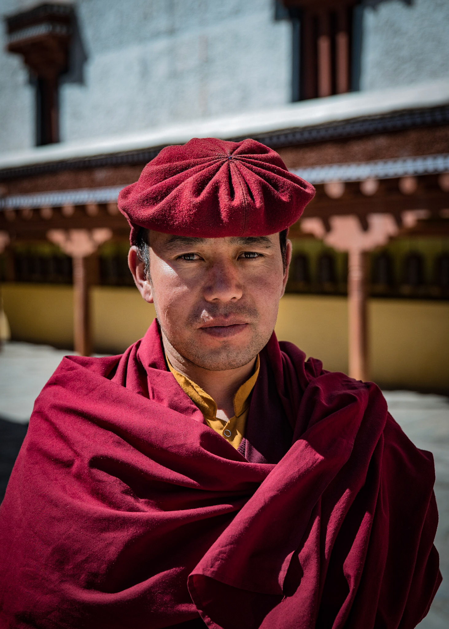
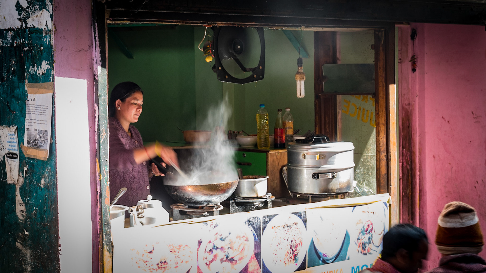
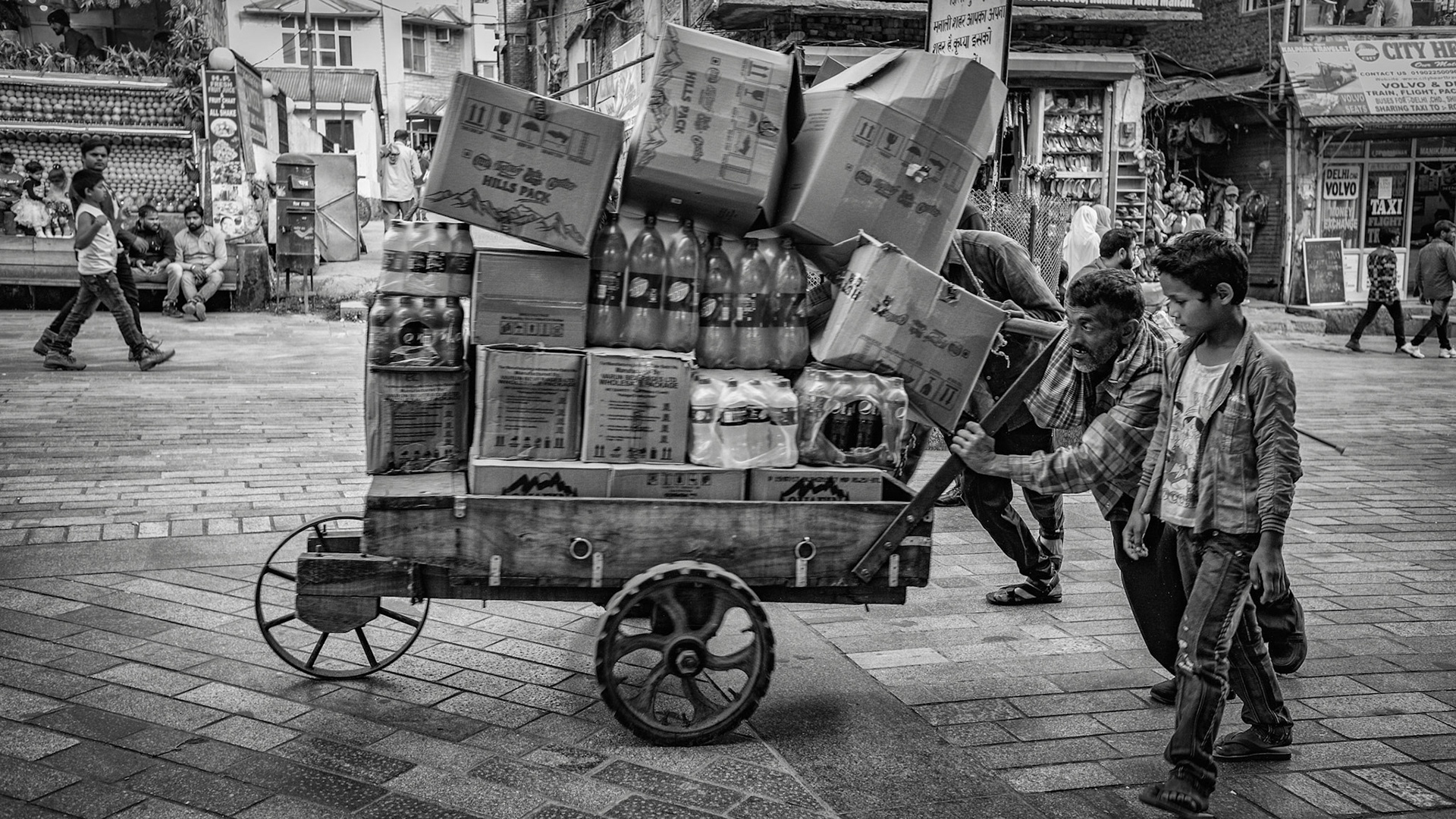
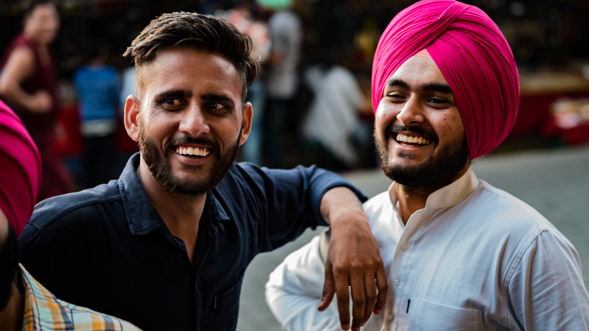
1. The drive to Dharmasal Map 2. Gentleman happy to pose at the Buddhist Monastery in Manali 4. Do NOT make eye contact. 5. Engraved prayer rocks at the Manali Buddhist Monastary 6. Working hard along the rail line near Dharmasala.
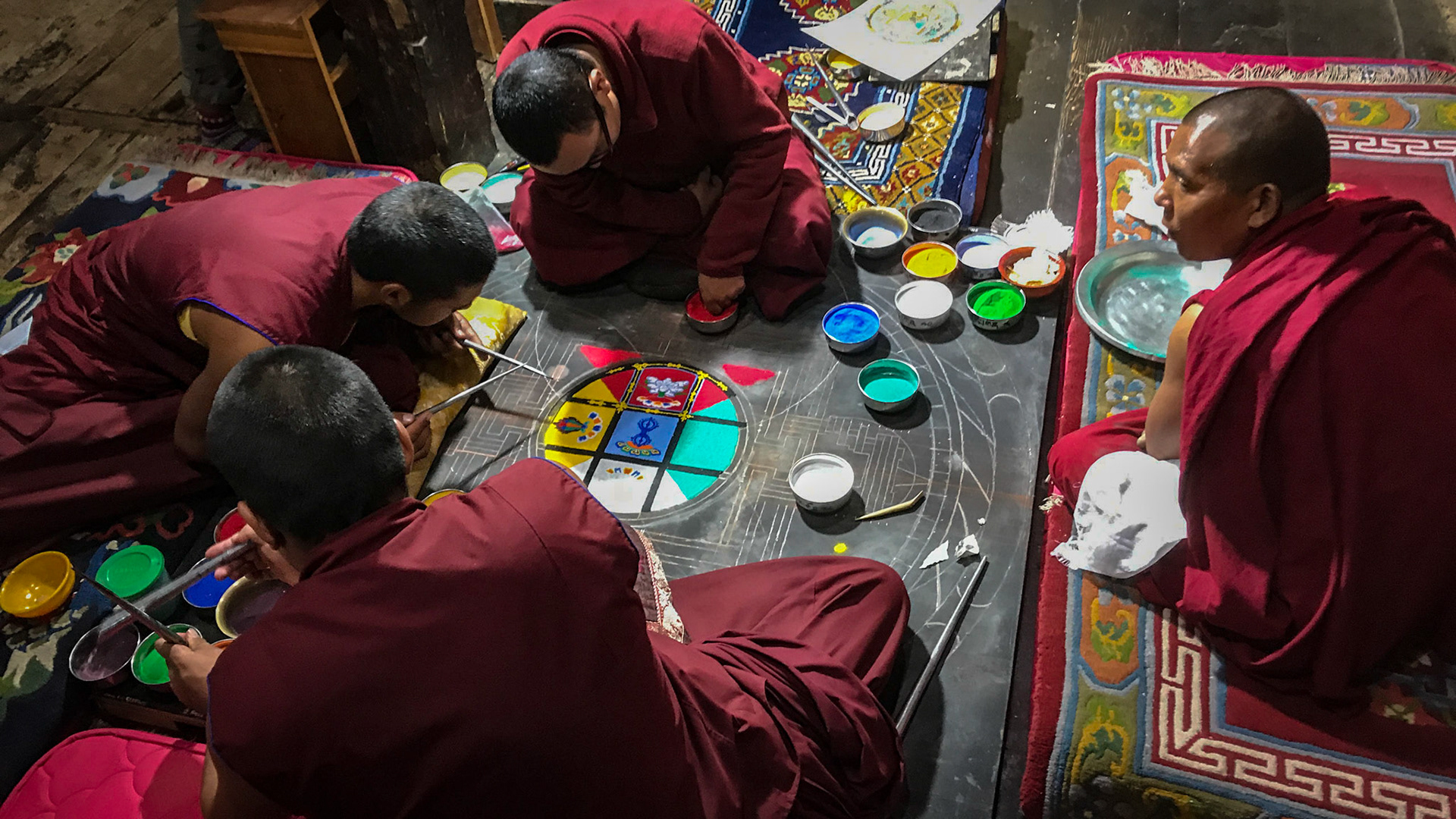
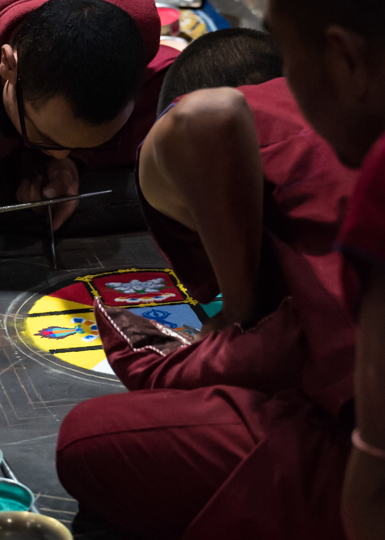
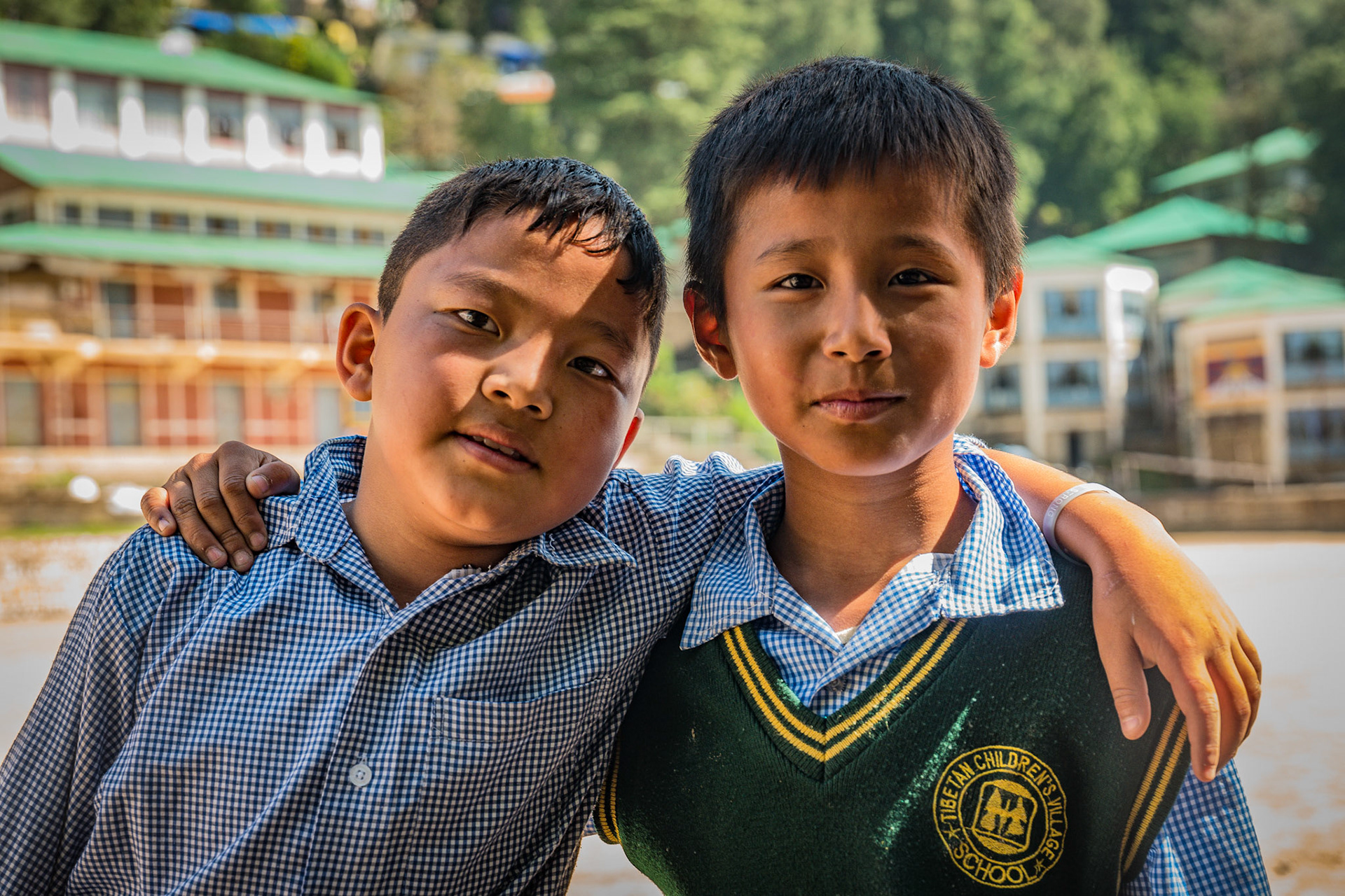
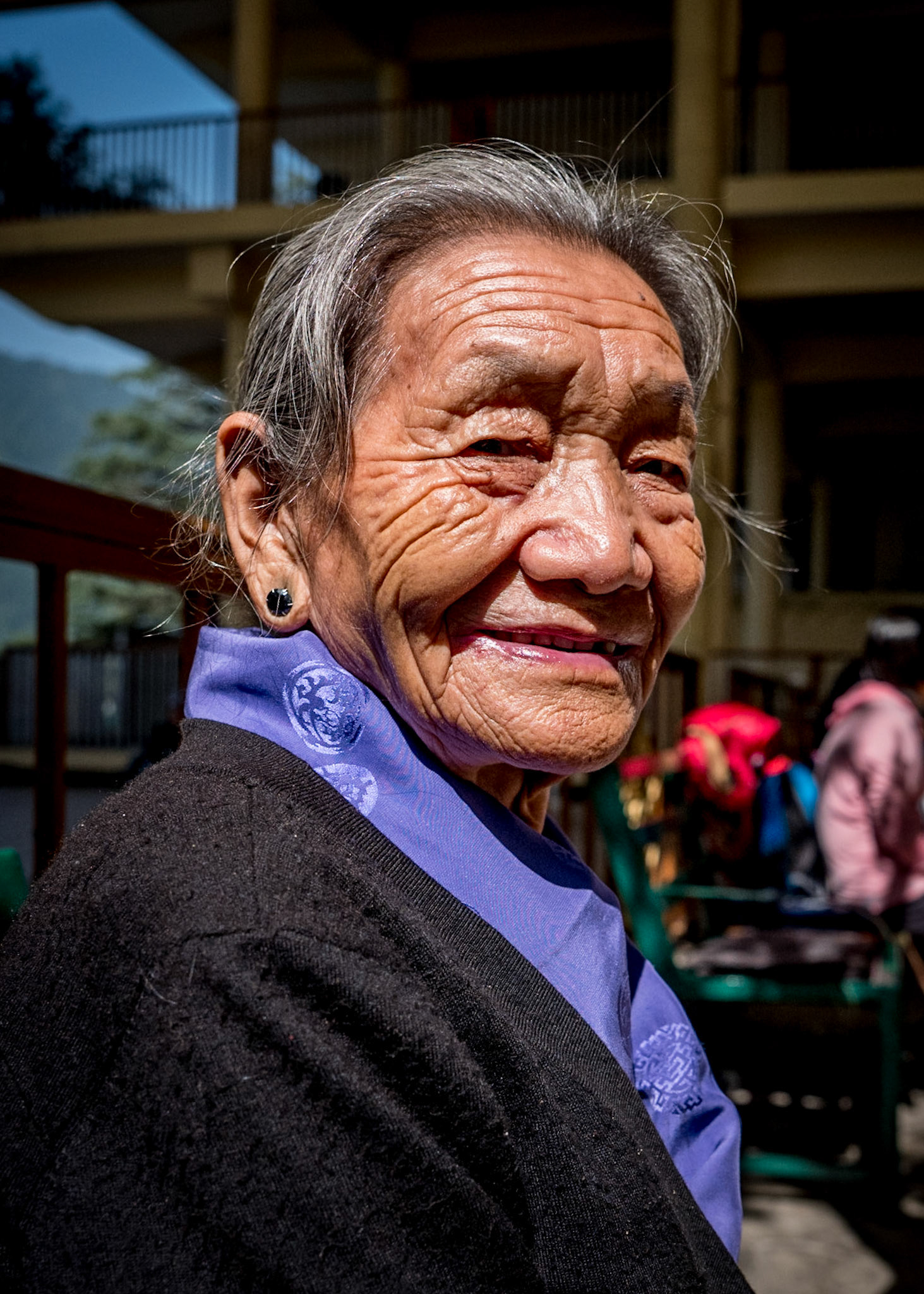
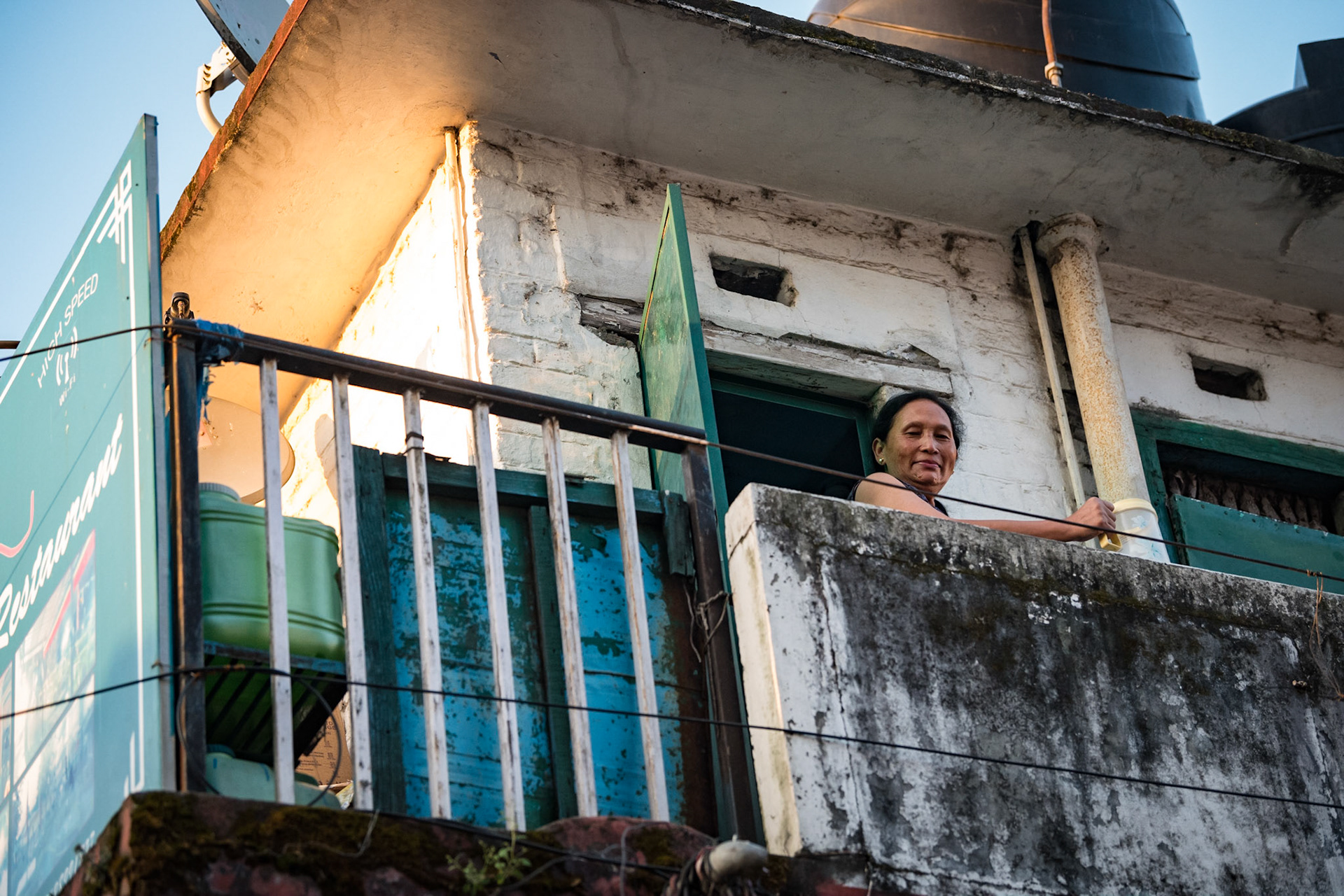
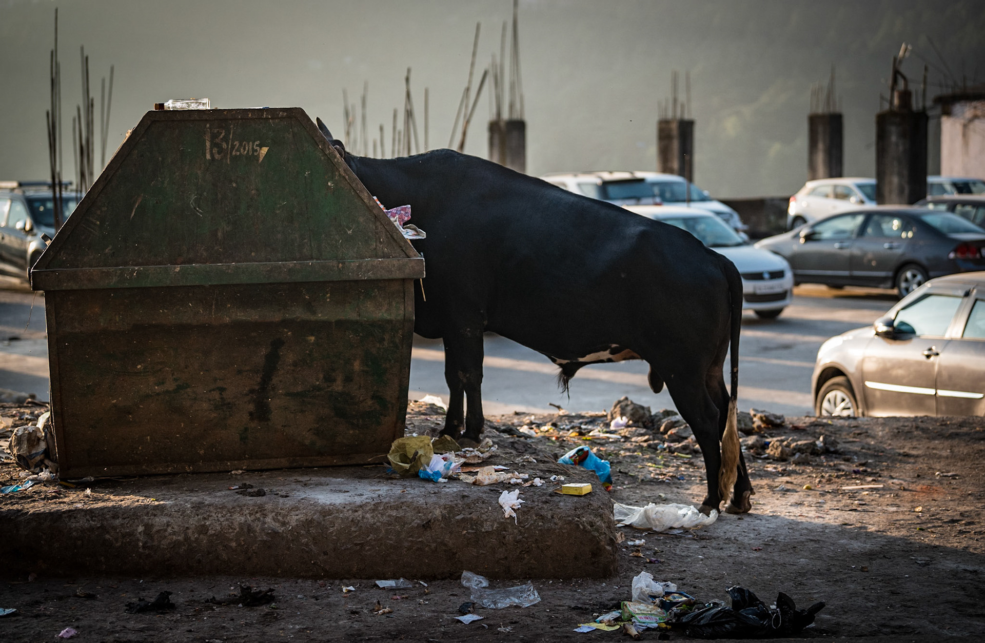
Day 14 & 15: Dharmasala
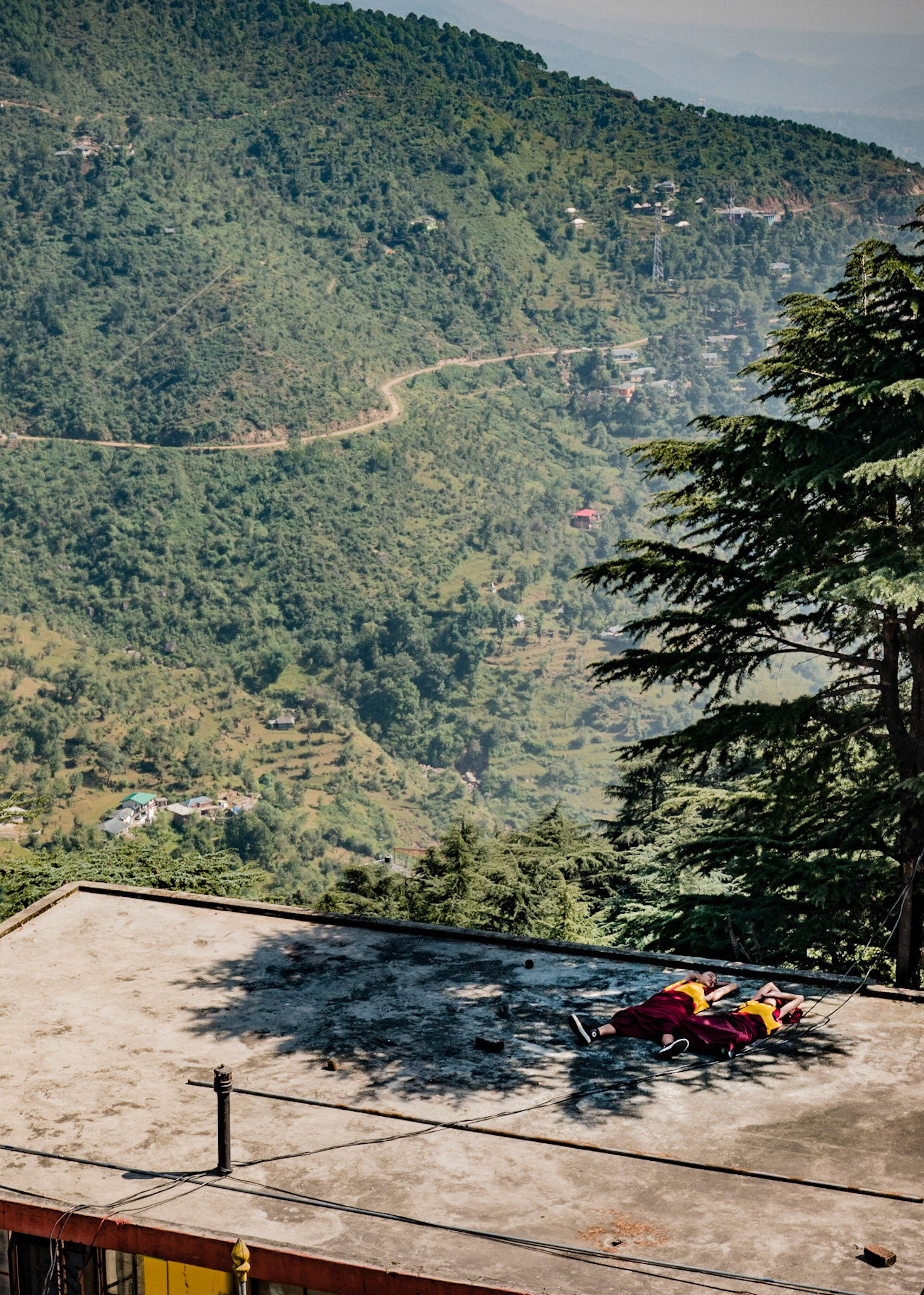
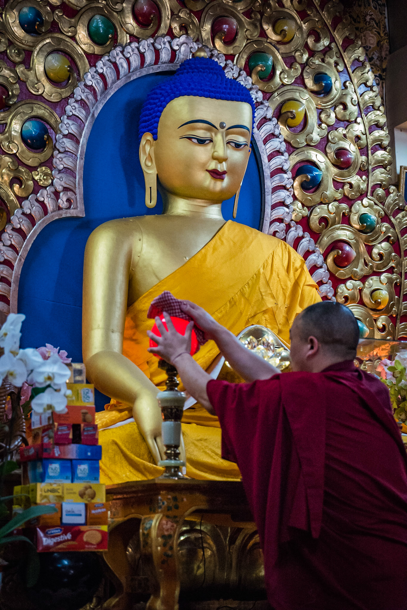
Day 16 : Dharmasala